Year 2
Our past and present connections to people and places
The Year 2 curriculum extends contexts for study beyond the personal to the community and to near and distant places that students are familiar with or aware of, exploring connections between the past and present and between people and places. Students examine remains of the past in their local area, coming to understand how connections have changed the lives of people over time and space and how their community values and preserves connections to the past. They study where they are located in the world and how the world is represented on maps and through place names that reveal the history and value of these places. Students explore other cultures' connections to their local place and their own connections to distant places. Through a study of technological change, students see how they are both similar and different to people in the past and how they are connected to places near and far. The idea of citizenship is introduced as students think about how people are connected.
The content provides opportunities for students to develop humanities and social sciences understanding through key concepts including significance, continuity and change, cause and effect, place and space, interconnections and perspectives and action. These concepts may provide a focus for inquiries and be investigated across sub-strands or within a particular sub-strand context.
The content at this year level is organised into two strands: knowledge and understanding, and inquiry and skills. The knowledge and understanding strand draws from two sub-strands: history and geography. These strands (knowledge and understanding, and inquiry and skills) are interrelated and have been developed to be taught in an integrated way, which may include integrating with content from the sub-strands and from other learning areas, and in ways that are appropriate to specific local contexts. The order and detail in which they are taught are programming decisions.
Inquiry Questions
A framework for developing students' knowledge, understanding and skills is provided by inquiry questions. The following inquiry questions allow for connections to be made across the sub-strands and may be used or adapted to suit local contexts: inquiry questions are also provided for each sub-strand that may enable connections within the humanities and social sciences learning area or across other learning areas.
- What does my place tell me about the past and present?
- How are people connected to their place and other places, past or present?
- How has technology affected daily life over time and the connections between people in different places?
(source: www.australiancurriculum.edu.au)
Achievement Standard
By the end of Year 2, students describe a person, site and/or event of significance in the local community and explain why places are important to people. They identify how and why the lives of people have changed over time while others have remained the same. They recognise that the world is divided into geographic divisions and that places can be described at different scales. Students describe how people in different places are connected to each other and identify factors that influence these connections. They recognise that places have different meaning for different people and why the significant features of places should be preserved.
Students pose questions about the past and familiar and unfamiliar objects and places. They locate information from observations and from sources provided. They compare objects from the past and present and interpret information and data to identify a point of view and draw simple conclusions. They sequence familiar objects and events in order and sort and record data in tables, plans and on labelled maps. They reflect on their learning to suggest ways to care for places and sites of significance. Students develop narratives about the past and communicate findings in a range of texts using language to describe direction, location and the passing of time.
(source: www.australiancurriculum.edu.au)
Achievement Standard
By the end of Year 2, students describe a person, site and/or event of significance in the local community. They identify how and why the lives of people have changed over time while others have remained the same.
Students sequence events in order, using a range of terms related to time. They pose questions about the past and use sources provided to answer these questions and to identify a point of view. They compare objects from the past and present. Students develop a narrative about the past using a range of texts.
(source: www.australiancurriculum.edu.au)
Achievement Standard
By the end of Year 2, students identify the features that define places and recognise that places can be described at different scales. Students recognise that the world can be divided into major geographical divisions. They describe how people in different places are connected to each other and identify factors that influence these connections. They explain why places are important to people, recognising that places have meaning.
Students pose questions about familiar and unfamiliar places and answer them by locating information from observations and from sources provided. They represent data and the location of places and their features in tables, plans and on labelled maps. They interpret geographical information to draw conclusions. Students present findings in a range of texts and use simple geographical terms to describe the direction and location of places. They suggest action in response to the findings of their inquiry.
(source: www.australiancurriculum.edu.au)
- Plus Plan
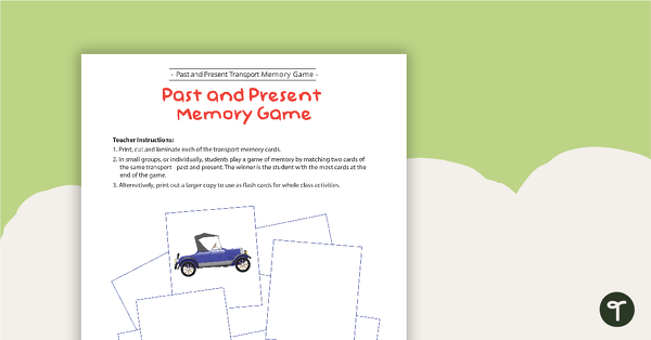
Transport Then and Now - Memory Game
A fun memory game for students to match past and present modes of transport.
- Plus Plan
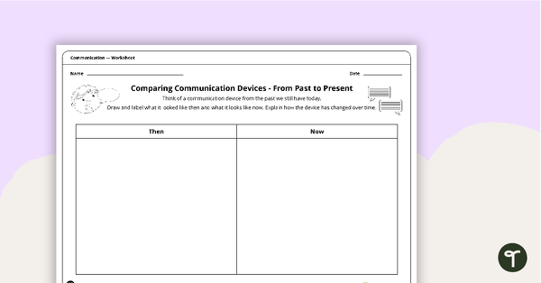
Comparing Communication Devices from Past to Present - Worksheet
A worksheet for students to compare communication devices from the past with the present.
- Plus Plan
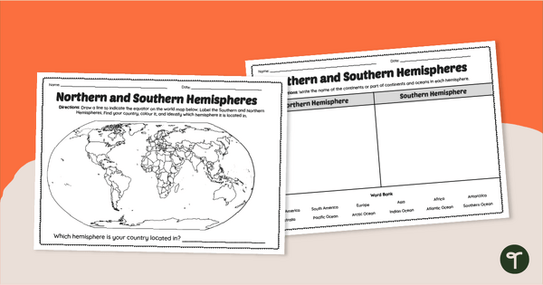
Earth's Hemispheres Worksheets
Practise identifying landforms in the northern and southern hemispheres with a pair of printable geography worksheets.
- Plus Plan
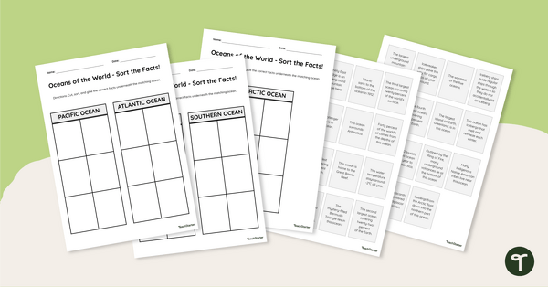
Oceans of the World - Cut and Paste Worksheet
Explore some key facts about the world’s five oceans with this cut-and-paste worksheet.
- Plus Plan
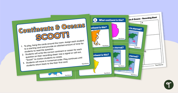
Continents and Oceans - SCOOT! Task Cards
Learn to locate and identify the continents and oceans on Earth with a game of SCOOT!
- Plus Plan
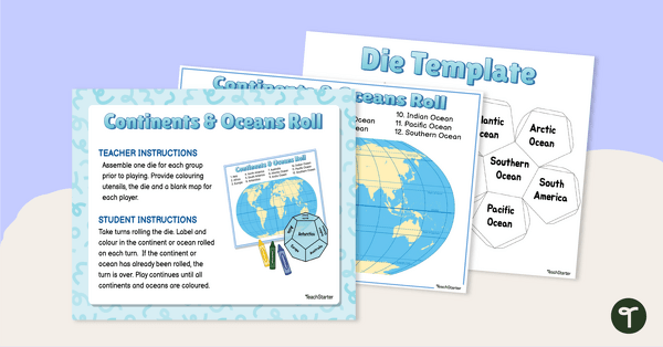
Continents and Oceans - Roll and Colour Game
Learn to identify the continents and oceans of the world with an engaging partner game.
- Plus Plan

7 Continents Fortune Teller
Review the continents of the world with this hands-on continents fortune teller.
- Plus Plan
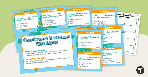
Continents and Oceans Task Cards
Practise identifying and describing the 7 continents and 5 oceans with a set of task cards.
- Plus Plan
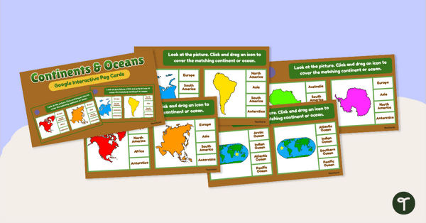
Continents and Oceans - Interactive Peg Cards
Turn world geography into a digital learning experience with this interactive activity.
- Free Plan
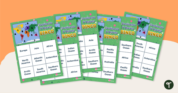
Continents and Oceans Bingo
Turn Geography into a fun and educational learning experience by using our Continents and Oceans Bingo Game!
- Plus Plan
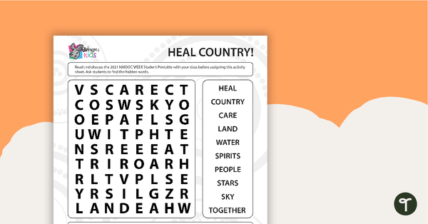
NAIDOC 2021 – Heal Country! - Word Search (Early Years)
A puzzle related to key concepts of the NAIDOC theme.
- Plus Plan
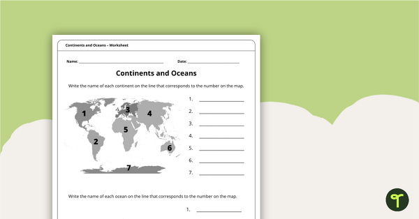
Continents and Oceans Worksheet
A worksheet to practise identifying the 7 continents and 5 oceans.
- Plus Plan
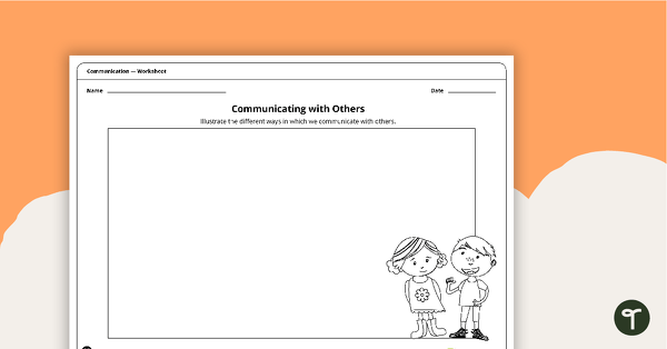
Communicating with Others - Worksheet
A worksheet for students to identify the communication methods and devices we use today.
- Free Plan
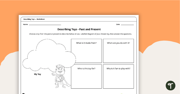
Describing Toys Past and Present - Worksheet
A worksheet for students to describe the features of past and present toys.
- Plus Plan
How Are People and Places Connected? - Geography Word Wall Vocabulary
51 people and places vocabulary word wall cards.
- Plus Plan
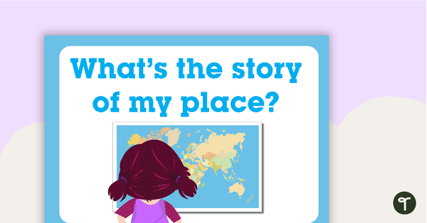
What's the Story of My Place? - Geography Word Wall Vocabulary
36 What's the Story of My Place vocabulary cards.
- Plus Plan
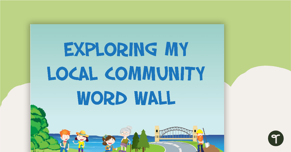
Exploring My Local Community - History Word Wall Vocabulary
20 vocabulary cards about exploring the local community.
- Plus Plan
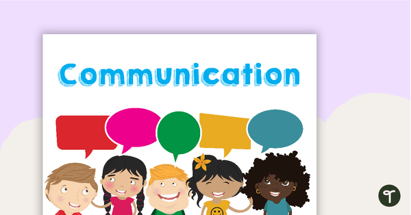
Communication Methods and Devices - Poster Pack
A pack of 11 posters explaining how a variety of communication methods and devices work.
- Plus Plan
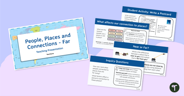
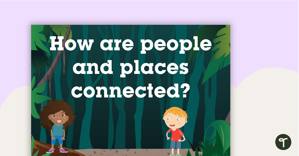
People, Places and Connections (Far) - Teaching Presentation
Explore your students’ connections with distant people and places with this comprehensive 20-slide editable teaching presentation.
- Plus Plan
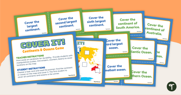
Continents and Oceans - Cover It! Game
Locate the continents and oceans of the world on a map with this engaging, hands-on Geography game.
- Plus Plan
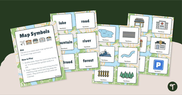
Map Symbols Match-Up Activity
Practise identifying the symbols found on a map with a map symbol matching activity.
- Plus Plan
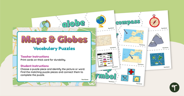
Maps and Globes Vocabulary Puzzles
Make your geography lessons more fun with a set of map and globe picture puzzles.
- Plus Plan
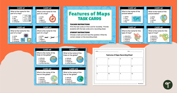
Feature of Maps - Task Cards
Explore the features of maps and globes with a set of multiple-choice task cards.
- Plus Plan
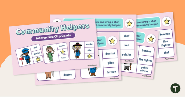
Interactive Peg Cards - Community Helpers Activities
Learn about community helpers and the jobs they do with a set of interactive peg cards.
- Plus Plan
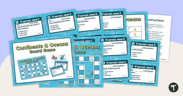
Continents and Oceans Board Game
Explore the continents and oceans of the world with this hands-on Geography board game.
- Plus Plan
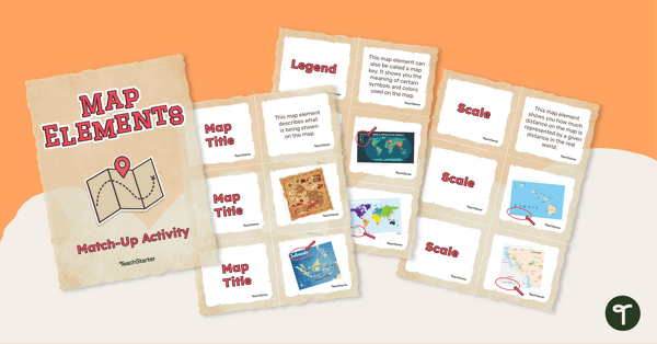
Elements of a Map Match-up Activity
Use knowledge of the features of a map with this map element matching game.
- Plus Plan
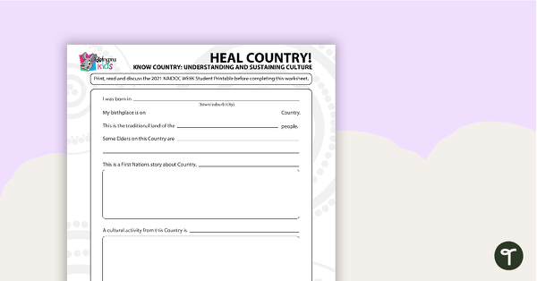
NAIDOC 2021 – Heal Country! - Worksheet (Early Years)
A worksheet for students to reflect on the NAIDOC theme as it relates to them.
- Plus Plan
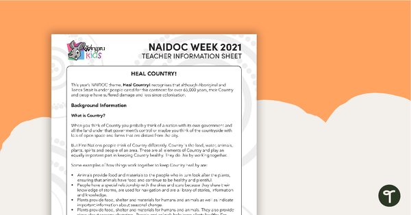
NAIDOC 2021 – Heal Country! Teacher information sheet
A teacher information sheet about the NAIDOC 2021 theme: Heal Country!
- Plus Plan
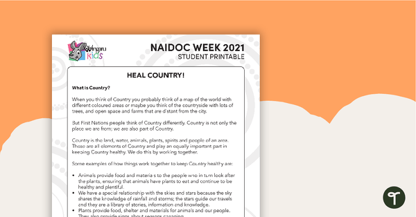
NAIDOC 2021 – Heal Country! Student information sheet
A student information sheet about the NAIDOC 2021 theme: Heal Country!
- Plus Plan
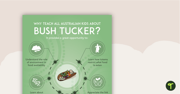
Why Teach About Bush Tucker? Poster
An educational poster providing a rationale for teaching Australian children about bush tucker.
- Plus Plan
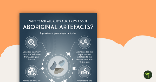
Why Teach About Aboriginal Artefacts? Poster
An educational poster providing a rationale for teaching Australian children about Aboriginal artefacts.
- Plus Plan
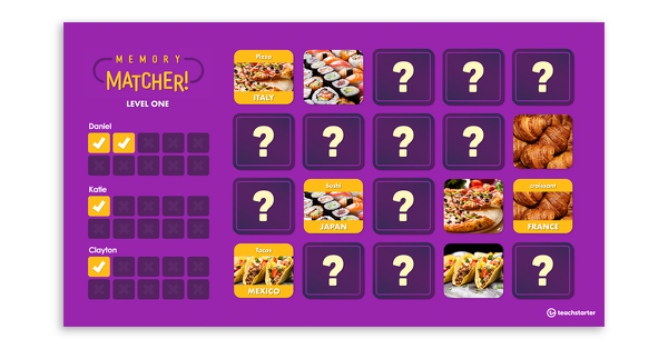
Memory Matcher PowerPoint – International Foods
An interactive match-up activity exploring foods of different cultures.