Geography
Concepts for developing understanding
The content in the geography sub-strand provides opportunities to develop students' understanding of place, space, environment, interconnection, change and sustainability. The curriculum focuses on the factors that shape the characteristics of places. They explore how climate and landforms influence the human characteristics of places, and how human actions influence the environmental characteristics of places (change, environment, place, interconnection). Students examine the way spaces within places are organised and managed (space, place), and how people work to prevent, mitigate and prepare for natural hazards (environment, place). Students' mental map of the world expands to Europe and North America and their main countries and characteristics (space, place, environment).
Inquiry Questions
- How do people and environments influence one another?
- How do people influence the human characteristics of places and the management of spaces within them?
- How can the impact of bushfires or floods on people and places be reduced?
(source: www.australiancurriculum.edu.au)
- Plus Plan
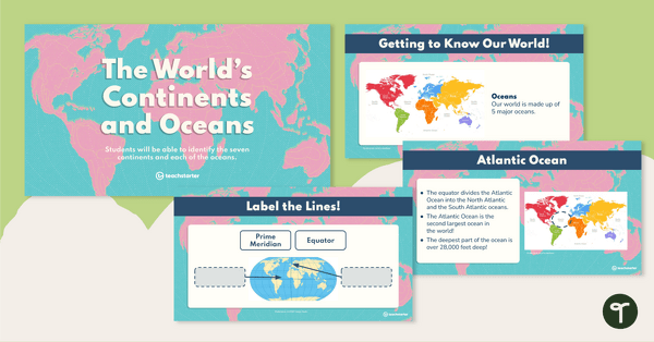
The World's Continents and Oceans – Teaching Presentation
Explore the seven continents and five oceans of the world with this comprehensive teaching presentation.
- Plus Plan
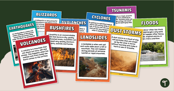
Natural Disaster Posters for Kids
Introduce and explain different types of natural disasters with printable natural disaster posters.
- Free Plan
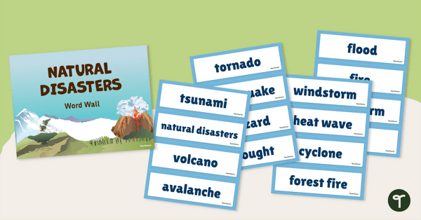
Natural Disaster Word Wall Vocabulary
Use this teacher-created resource to explore natural disaster vocabulary with your primary school students.
- Free Plan
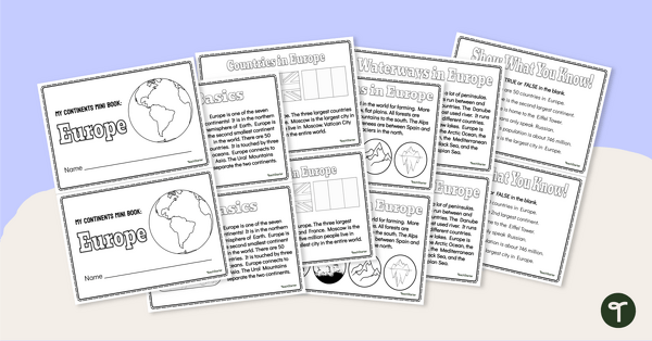
The Continent of Europe - Mini-Book
Explore the wonders and delights of the continent of Europe with this informative printable mini-book.
- Plus Plan
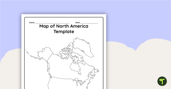
Blank Map of North America - Template
Record and represent data about the location of significant places with this printable blank map of the continent of North America.
- Plus Plan
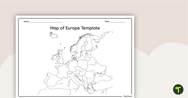
Blank Map of Europe — Template
Record and represent data about the location of significant places with this printable blank map of the continent of Europe.
- Plus Plan
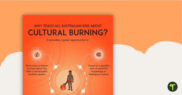
Why Teach About Cultural Burning? Poster
An educational poster providing a rationale for teaching Australian children about cultural burning.
- Free Plan
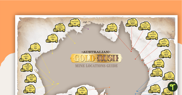
Australian Gold Rush: Map Where It's At - Worksheet
A fun mapping activity for students to pinpoint gold finds and gold rush locations between 1851 to 1893 on a map of Australia.
- Free Plan
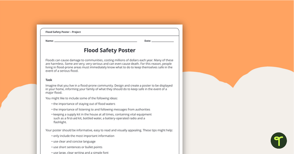
Flood Safety Poster - Design and Create Task
A design and create task for students to demonstrate their understanding of the impact of floods.
- Plus Plan
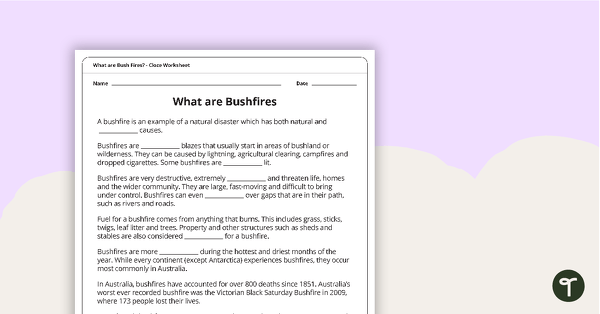
What are Bushfires? Cloze Worksheet
A cloze worksheet about bushfires.
- Plus Plan
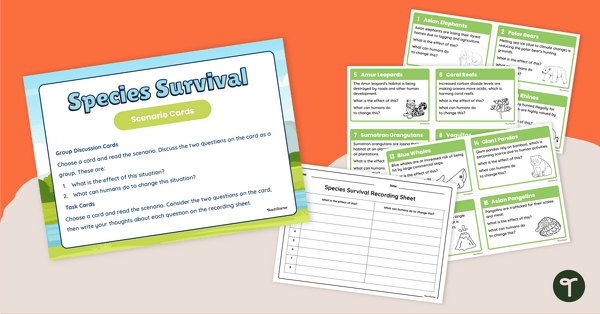
Species Survival Prediction Task Cards
Explore how to save endangered species during National Science Week 2024 with this set of 16 species survival scenario cards.
- Plus Plan
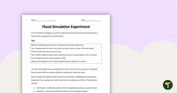
Natural Disasters - Flood Simulation Experiment
A hands-on experiment to use when exploring natural disasters.
- Plus Plan
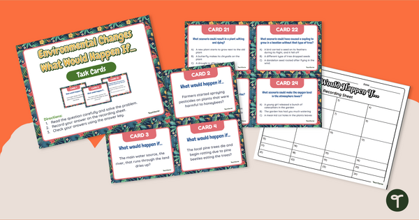
What Would Happen If...? Environmental Impact Task Cards
Predict and identify the effects of environmental change on plants and animals with a set of printable science task cards.
- Plus Plan
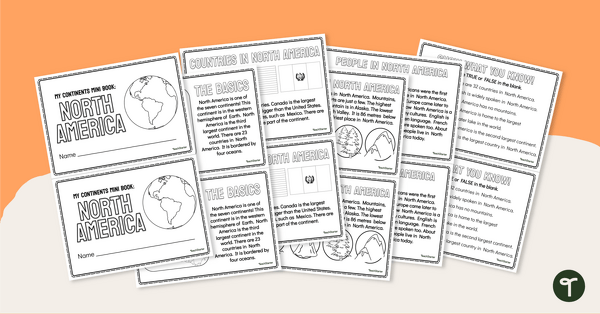
The Continent of North America - Mini-Book
Explore the wonders and delights of the continent of North America with this informative printable mini-book.
- Free Plan
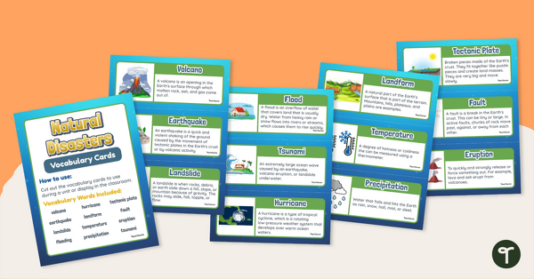
Natural Disasters - Illustrated Vocabulary Display
Reinforce science vocabulary in your classroom with this set of illustrated and annotated natural disaster word wall cards.
- Plus Plan
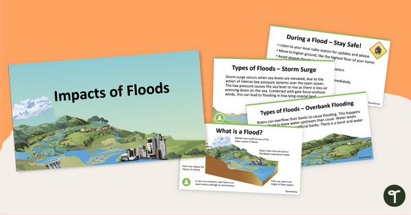
Impacts of Floods PowerPoint
A 17-slide editable PowerPoint template about floods and their impact on communities.
- Plus Plan
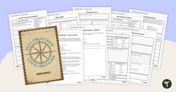
Acclimatised Civilisations – Inquiry Project
Research a civilisation and how it adapted to its environment and landscape through a student-led inquiry task.
- Plus Plan
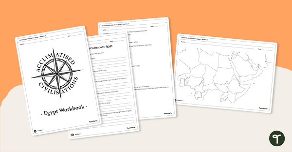
Acclimatised Civilisations: Egypt – Workbook
Learn about the physical and human geography of Egypt and the Sahara Desert with this inquiry-based mapping activity.
- Free Plan
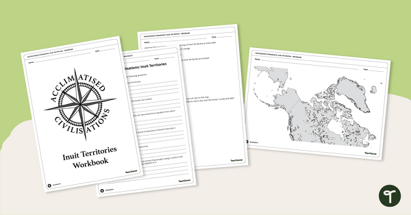
Acclimatised Civilisations: Inuit Territories – Workbook
Learn about the physical and human geography of the Inuit Territories with this inquiry-based mapping activity.
- Plus Plan
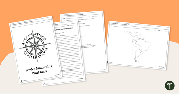
Acclimatised Civilisations: Andes Mountains – Workbook
Learn about the physical and human geography of the Andes mountains in South America with this inquiry-based mapping activity.
- Plus Plan
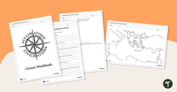
Acclimatised Civilisations: Greece – Workbook
Learn about the physical and human geography of Greece and the Mediterranean region with this inquiry-based mapping activity.
- Plus Plan
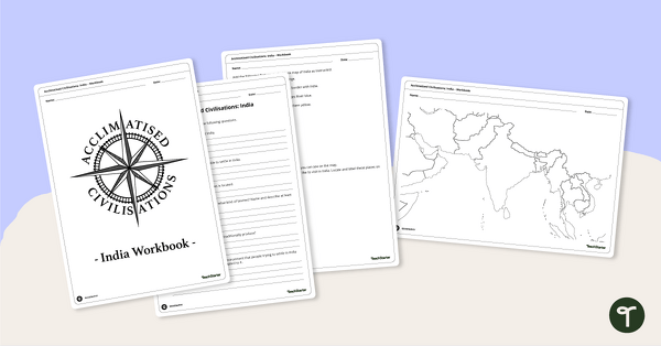
Acclimatised Civilisations: India – Workbook
Learn about the physical and human geography of the continent of India with this inquiry-based mapping activity.
- Free Plan
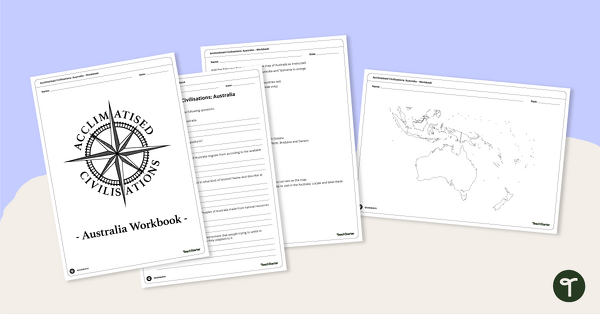
Acclimatised Civilisations: Australia – Workbook
Learn about the physical and human geography of the continent of Australia with this inquiry-based mapping activity.
- Plus Plan
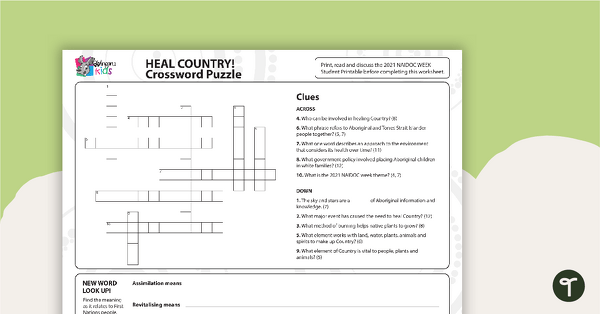
NAIDOC 2021 – Heal Country! - Crossword Puzzle
A puzzle related to key concepts of the NAIDOC theme.
- Plus Plan
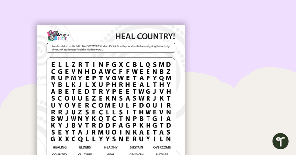
NAIDOC 2021 – Heal Country! - Word Search (Middle Years)
A puzzle related to key concepts of the NAIDOC theme.
- Plus Plan
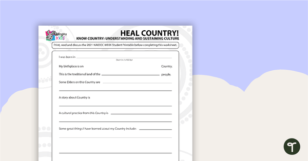
NAIDOC 2021 – Heal Country! - Worksheet (Middle/Upper Years)
A worksheet for students to reflect on the NAIDOC theme as it relates to them.
- Plus Plan
Acclimatised Civilisations – Word Wall
Content-specific vocabulary cards for a word wall based on the Acclimatised Civilisations Geography resources.
- Plus Plan
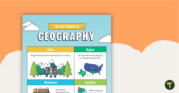
Themes of Geography Poster Pack
A pack of six posters to use when learning about geography.
- Plus Plan
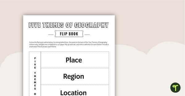
Geography Flip Book
A flip book to use when learning about geography.
- Plus Plan
Mining Word Wall Vocabulary
Sixty-seven mining related vocabulary cards for a word wall.
- Plus Plan
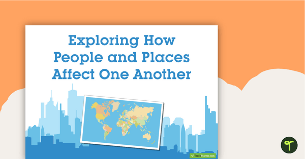
Exploring How People and Places Affect One Another - Geography Word Wall Vocabulary
63 exploring the affects of people and places vocabulary cards.
- Plus Plan
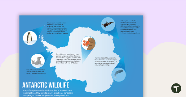
Antarctic Wildlife Poster
A poster highlighting some of the main wildlife in Antarctica.