Questioning and researching
- Free Plan

Develop a Habitat - Garden Project
A project-based assessment task for students to demonstrate their understanding of how habitats can be preserved and protected in and around where people live.
- Free Plan
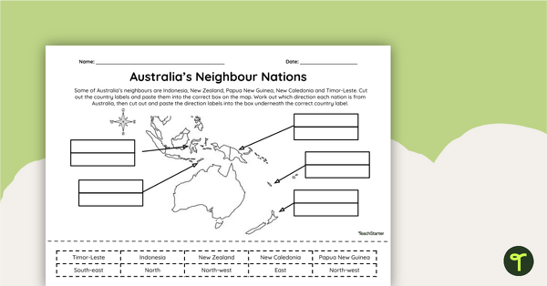
Countries Neighbouring Australia - Cut and Paste Worksheet
Discover the location of some of the countries neighbouring Australia with this simple cut-and-paste worksheet.
- Plus Plan
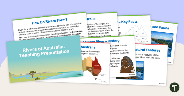
Rivers of Australia - Teaching Presentation
Explore Australia's complex system of rivers with this 14-slide editable teaching presentation.
- Free Plan
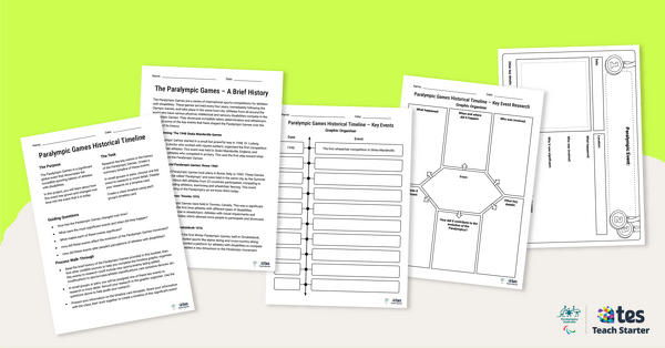
Paralympic Games Historical Timeline – Inquiry-Based Project
Introduce your students to the rich history of the Paralympic Games with this inquiry-based learning project.
- Plus Plan
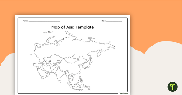
Blank Map of Asia - Template
Record and represent data about the location of significant places with this printable blank map of the continent of Asia.
- Plus Plan
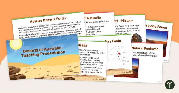
Deserts of Australia - Teaching Presentation
Explore Australia's deserts with this 14-slide editable teaching presentation.
- Plus Plan
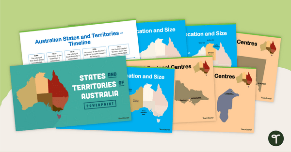
States and Territories of Australia PowerPoint
Explore Australia's six states and two territories with this 27-slide editable teaching presentation.
- Plus Plan
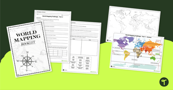
World Mapping Workbook
Develop mapping skills by plotting key features and locations onto a map of the world.
- Plus Plan
The Natural Environment of South America PowerPoint
A 17 slide editable PowerPoint template to use when introducing students to the climate, vegetation and animals of South America.
- Plus Plan
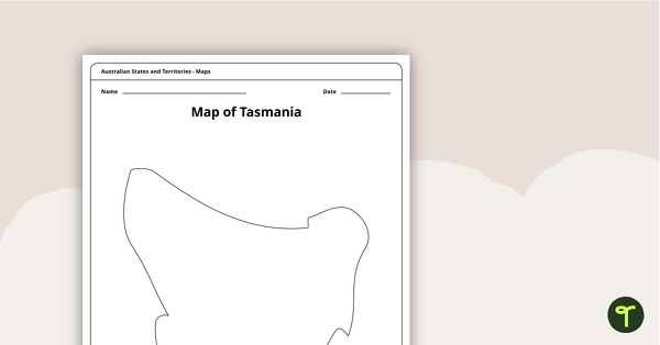
Blank Map of Tasmania Template
Record and represent data about the location of significant places with this printable blank map of the Australian state of Tasmania.
- Free Plan
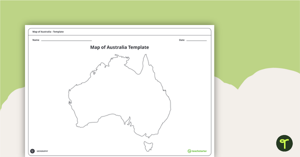
Blank Map of Australia - Template
Record and represent data about the location of significant places with this printable blank map of the continent of Australia.
- Plus Plan
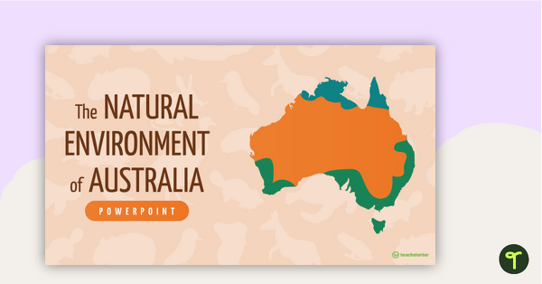
The Natural Environment of Australia PowerPoint
A 23 slide editable PowerPoint template to use when introducing students to the climate, vegetation and animals of Australia.
- Plus Plan
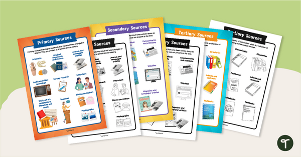
Primary, Secondary & Tertiary Sources Poster Pack
Introduce your students to examples of primary, secondary, and tertiary sources of information with a printable set of anchor charts.
- Plus Plan
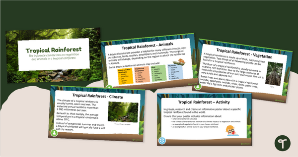
Tropical Rainforest PowerPoint
An 11 slide editable PowerPoint to use in the classroom when learning about tropical rainforests.
- Plus Plan
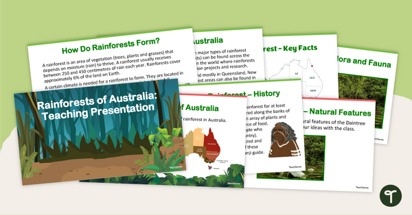
Rainforests of Australia - Teaching Presentation
Explore Australia's rainforests with this 14-slide editable teaching presentation.
- Plus Plan
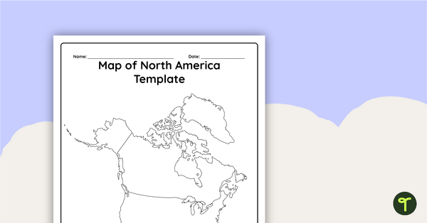
Blank Map of North America - Template
Record and represent data about the location of significant places with this printable blank map of the continent of North America.
- Plus Plan
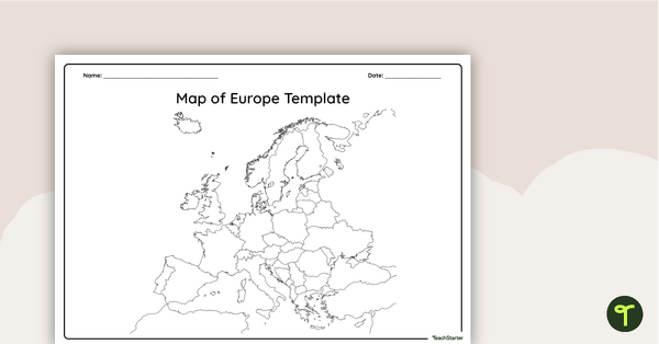
Blank Map of Europe — Template
Record and represent data about the location of significant places with this printable blank map of the continent of Europe.
- Plus Plan
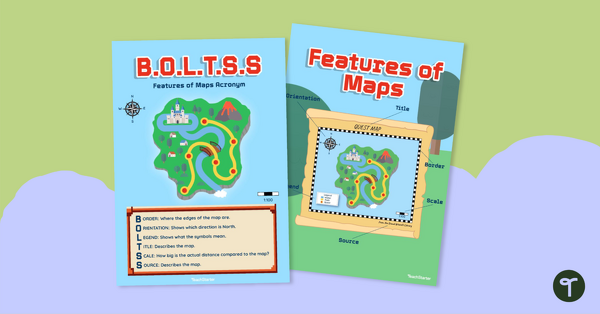
B.O.L.T.S.S Features of Maps Posters for the Classroom
Teach the BOLTSS mnemonic and explore the features of maps using this set of colourful classroom posters.
- Plus Plan
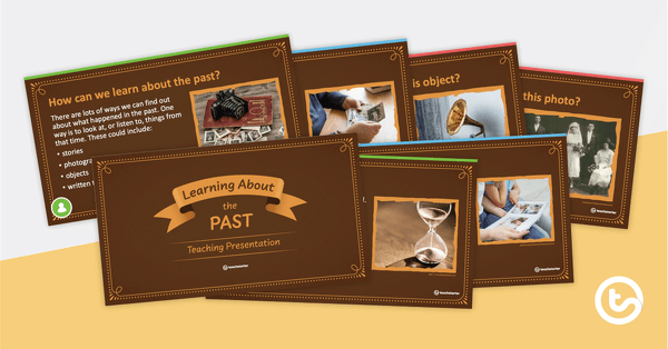
Learning About the Past PowerPoint
Use this 15-slide editable PowerPoint template when introducing younger students to historical sources.
- Plus Plan
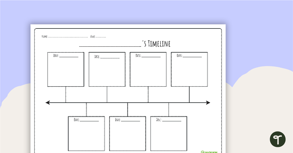
Biography Timeline Template
Download this biography timeline template to help students organise key life events for a person's biography with a clear, structured format.
- Plus Plan
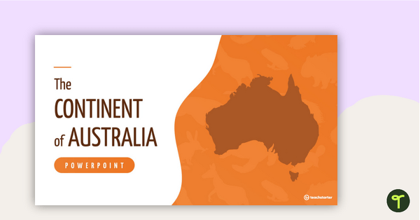
The Continent of Australia PowerPoint
A 20 slide editable PowerPoint template to use when introducing students to the geographical features of Australia.
- Plus Plan
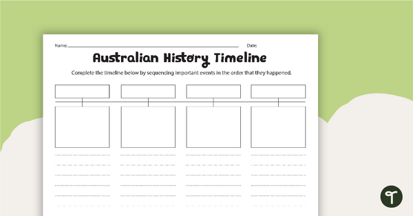
Australian History Timeline
A worksheet for students to record information about four significant Australian events.
- Plus Plan
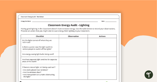
Classroom Energy Audit Worksheet
An investigation that will have students observing the energy usage in their classroom and proposing action to reduce energy waste.
- Plus Plan
The Natural Environment of Africa PowerPoint
A 17 slide editable PowerPoint template to use when introducing students to the climate, vegetation and animals of Africa.
- Plus Plan
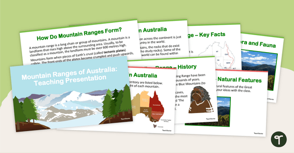
Mountain Ranges of Australia - Teaching Presentation
Explore Australia's mountain ranges with this 14-slide editable teaching presentation.
- Plus Plan
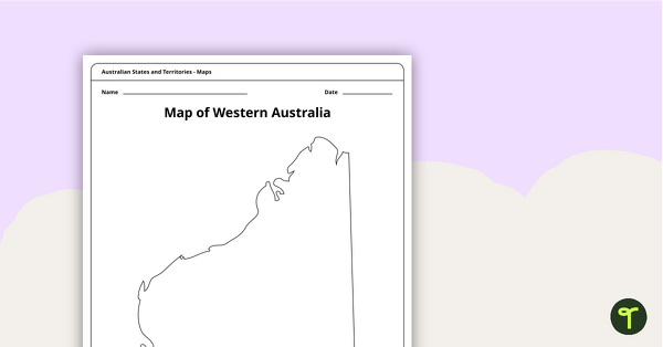
Blank Map of Western Australia - Template
Record and represent data about the location of significant places with this printable blank map of the Australian state of Western Australia.
- Plus Plan
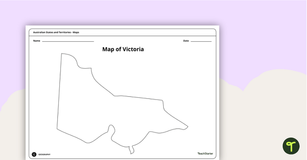
Blank Map of Victoria - Template
Record and represent data about the location of significant places with this printable blank map of the Australian state of Victoria.
- Plus Plan
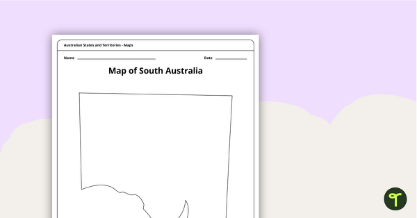
Blank Map of South Australia - Template
Record and represent data about the location of significant places with this printable blank map of the Australian state of South Australia.
- Plus Plan
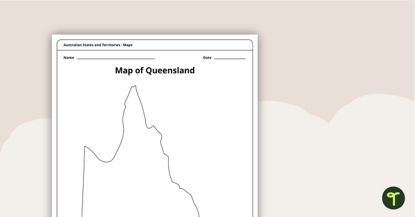
Blank Map of Queensland - Template
Record and represent data about the location of significant places with this printable blank map of the Australian state of Queensland.
- Plus Plan
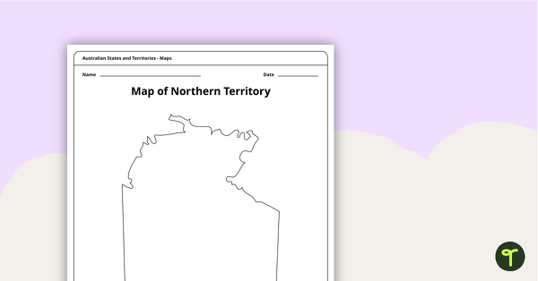
Map of the Northern Territory Template
Record and represent data about the location of significant places with this printable blank map of the Northern Territory.
- Plus Plan
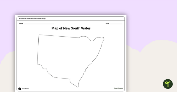
Blank Map of New South Wales - Template
Record and represent data about the location of significant places with this printable blank map of the Australian state of New South Wales.
- Plus Plan
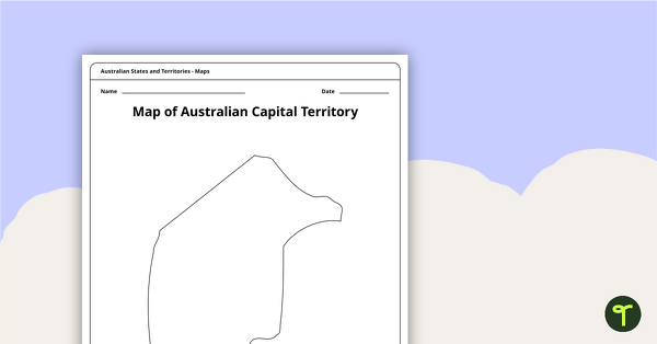
Black Map of the Australian Capital Territory - Template
Record and represent data about the location of significant places with this printable blank map of the Australian Capital Territory.