Australia Maps Teaching Resources for Year 4
- Plus Plan
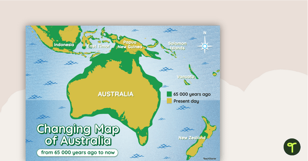
Changing Map of Australia - 65 000 Years Ago to Present Day
A map showing the changes in Australia's coastline from 65 000 years ago to the present day.
- Plus Plan
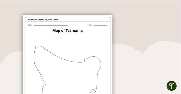
Blank Map of Tasmania Template
Record and represent data about the location of significant places with this printable blank map of the Australian state of Tasmania.
- Free Plan
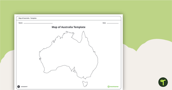
Blank Map of Australia - Template
Record and represent data about the location of significant places with this printable blank map of the continent of Australia.
- Plus Plan
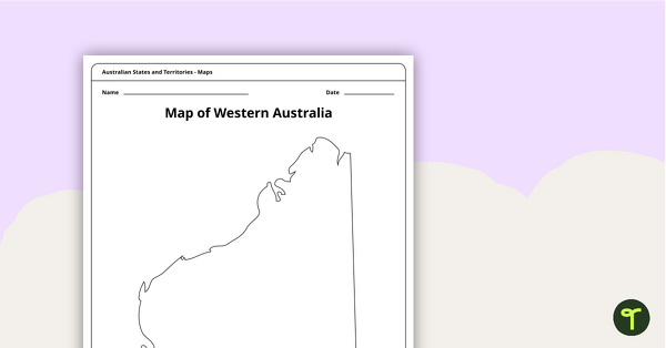
Blank Map of Western Australia - Template
Record and represent data about the location of significant places with this printable blank map of the Australian state of Western Australia.
- Plus Plan
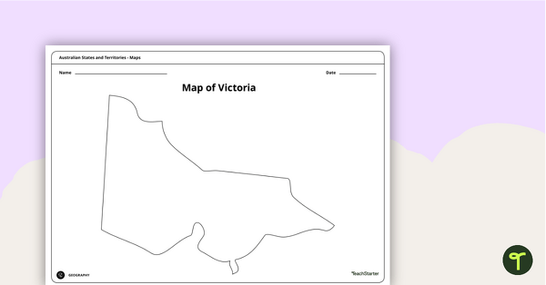
Blank Map of Victoria - Template
Record and represent data about the location of significant places with this printable blank map of the Australian state of Victoria.
- Plus Plan
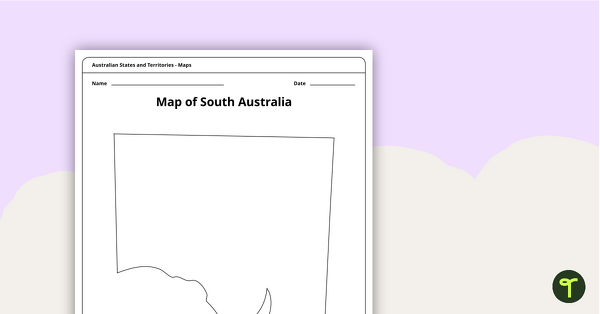
Blank Map of South Australia - Template
Record and represent data about the location of significant places with this printable blank map of the Australian state of South Australia.
- Plus Plan
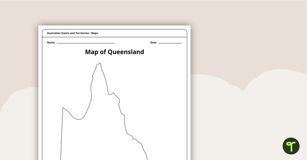
Blank Map of Queensland - Template
Record and represent data about the location of significant places with this printable blank map of the Australian state of Queensland.
- Plus Plan
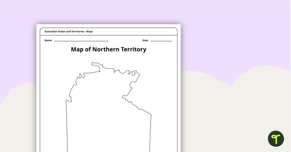
Map of the Northern Territory Template
Record and represent data about the location of significant places with this printable blank map of the Northern Territory.
- Plus Plan
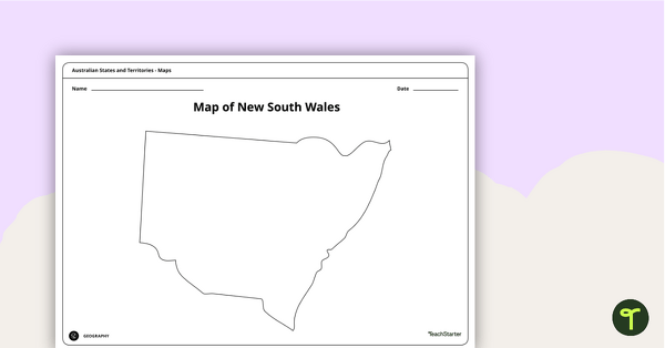
Blank Map of New South Wales - Template
Record and represent data about the location of significant places with this printable blank map of the Australian state of New South Wales.
- Plus Plan
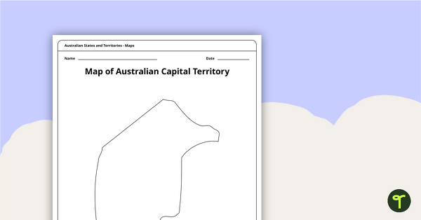
Black Map of the Australian Capital Territory - Template
Record and represent data about the location of significant places with this printable blank map of the Australian Capital Territory.
- Plus Plan
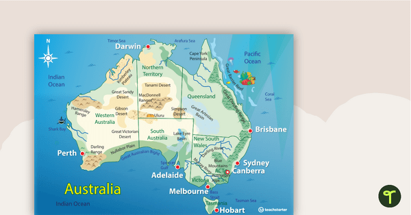
Australian Landform Map
A map of Australia showing the major landforms.
- Free Plan
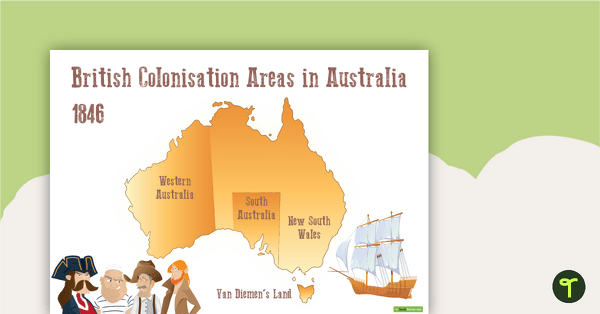
British Colonisation Areas in Australia - 1846 Map and Worksheet
A map to display in the classroom when learning about areas in Australian that were colonised by the British in 1846.
- Plus Plan
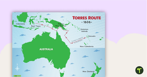
Torres Route 1606 Map
A map to display in the classroom when learning about Luis de Torres' route across the top of Australia in 1606.
- Free Plan
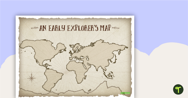
An Early Explorer's Map
An early explorer's map to display in the classroom when learning about European exploration.
- Plus Plan
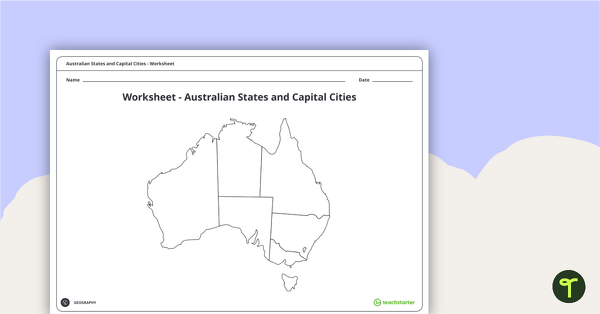
Australian States and Capital Cities Map Worksheet
A worksheet for students to use when learning about Australian states, territories and capital cities.