Maps Teaching Resources
- Plus Plan
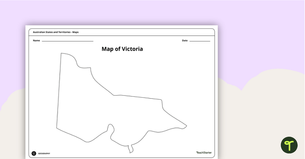
Blank Map of Victoria - Template
Record and represent data about the location of significant places with this printable blank map of the Australian state of Victoria.
- Free Plan
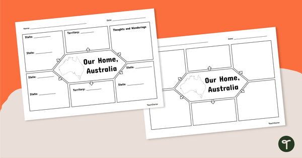
Our Home, Australia: Note-Taking Graphic Organiser
Summarise key information about Australia’s states and territories with this note-taking graphic organiser.
- Plus Plan
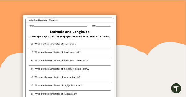
Latitude and Longitude Worksheet
Use this worksheet along with Google Maps to teach your students about longitude and latitude.
- Free Plan
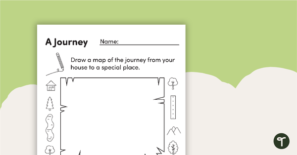
Mapping a Journey – Worksheet
A worksheet that allows students to create a map of a journey when exploring local places.
- Plus Plan
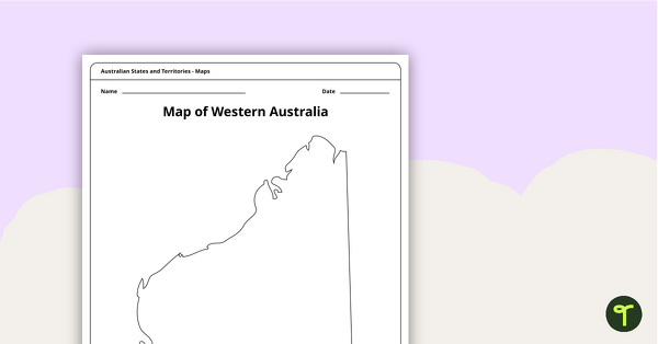
Blank Map of Western Australia - Template
Record and represent data about the location of significant places with this printable blank map of the Australian state of Western Australia.
- Plus Plan
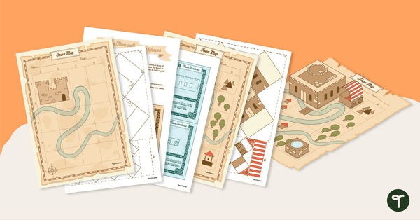
Ye Olde Geometry Town Project
Build a charming medieval village in our Ye Olde Geometry Town project, designed to give your students engaging hands-on practice with multiple geometry standards.
- Plus Plan
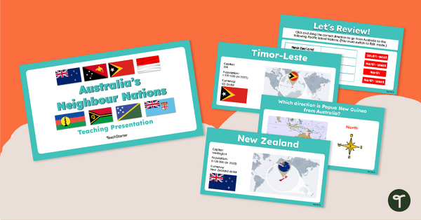
Australia's Neighbour Nations — Teaching Presentation
Discover the location of some of Australia’s closest neighbour nations with this comprehensive and visually appealing teaching presentation.
- Plus Plan
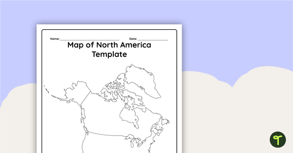
Blank Map of North America - Template
Record and represent data about the location of significant places with this printable blank map of the continent of North America.
- Plus Plan
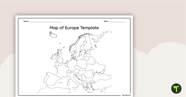
Blank Map of Europe — Template
Record and represent data about the location of significant places with this printable blank map of the continent of Europe.
- Plus Plan
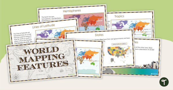
World Mapping Features – Teaching Presentation
Explore the key map features of world maps with this 18-slide PowerPoint presentation.
- Plus Plan
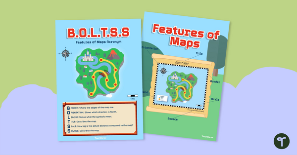
B.O.L.T.S.S Features of Maps Posters for the Classroom
Teach the BOLTSS mnemonic and explore the features of maps using this set of colourful classroom posters.
- Free Plan
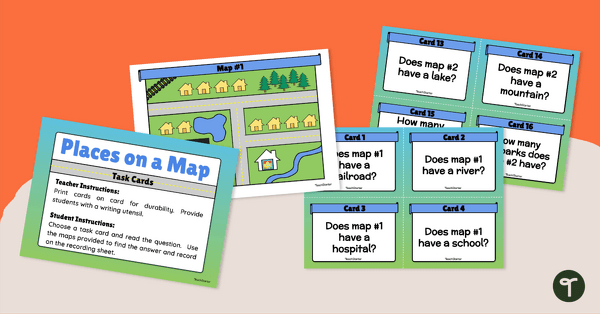
Places on a Map - Task Cards
Teach your young learners to read community maps with a set of task cards.
- Plus Plan
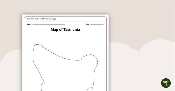
Blank Map of Tasmania Template
Record and represent data about the location of significant places with this printable blank map of the Australian state of Tasmania.
- Plus Plan
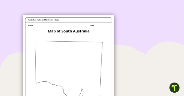
Blank Map of South Australia - Template
Record and represent data about the location of significant places with this printable blank map of the Australian state of South Australia.
- Plus Plan
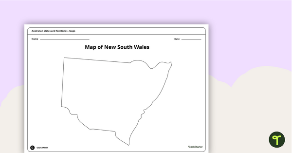
Blank Map of New South Wales - Template
Record and represent data about the location of significant places with this printable blank map of the Australian state of New South Wales.
- Plus Plan
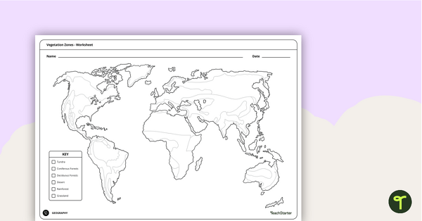
World Vegetation Zones - Mapping Template
Locate and explore different vegetation zones around the world with this mapping worksheet.
- Plus Plan
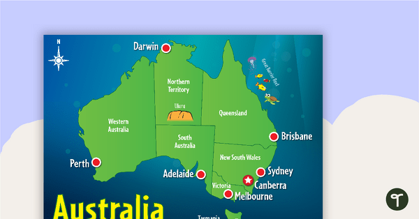
Cartoon Map of Australia
Explore the continent of Australia with a map showing each capital city and some of the most famous landmarks.
- Plus Plan
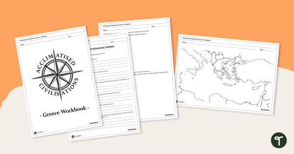
Acclimatised Civilisations: Greece – Workbook
Learn about the physical and human geography of Greece and the Mediterranean region with this inquiry-based mapping activity.
- Plus Plan
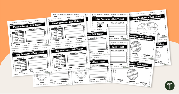
Features of Maps - Exit Tickets
Assess student map and globe skills with twenty exit ticket worksheets.
- Plus Plan
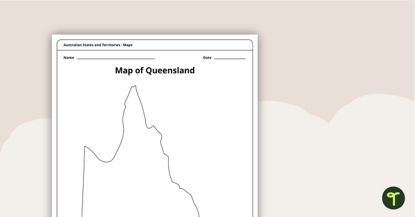
Blank Map of Queensland - Template
Record and represent data about the location of significant places with this printable blank map of the Australian state of Queensland.
- Plus Plan
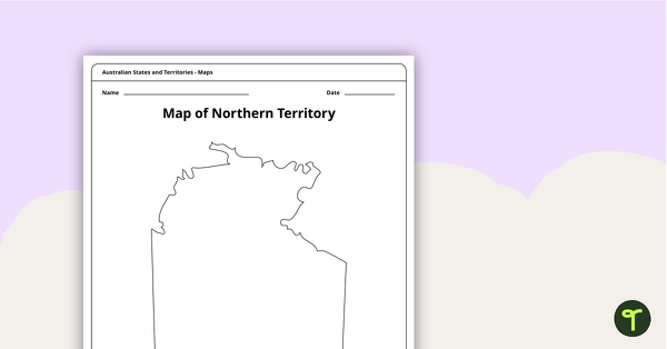
Map of the Northern Territory Template
Record and represent data about the location of significant places with this printable blank map of the Northern Territory.
- Plus Plan
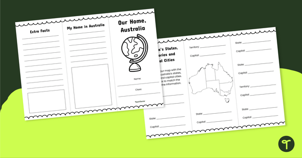
Our Home, Australia Brochure - Template
Explore the six states and two territories of Australia with this informative brochure template.
- Plus Plan
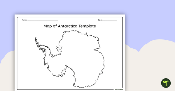
Blank Map of Antarctica - Template
Record and represent data about the location of significant places with this printable blank map of the continent of Antarctica.
- Plus Plan
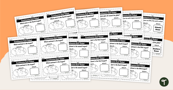
Continents and Oceans - Exit Tickets
Determine your students' mastery of Geography concepts with a set of twenty continents and oceans exit tickets.
- Plus Plan
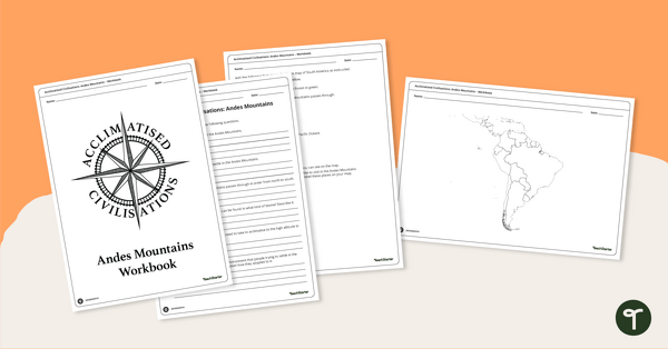
Acclimatised Civilisations: Andes Mountains – Workbook
Learn about the physical and human geography of the Andes mountains in South America with this inquiry-based mapping activity.
- Plus Plan
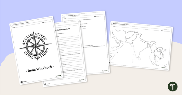
Acclimatised Civilisations: India – Workbook
Learn about the physical and human geography of the continent of India with this inquiry-based mapping activity.
- Free Plan
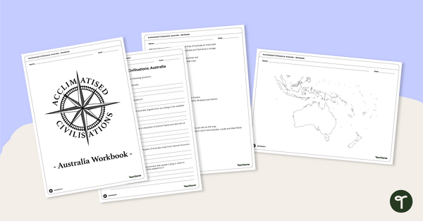
Acclimatised Civilisations: Australia – Workbook
Learn about the physical and human geography of the continent of Australia with this inquiry-based mapping activity.
- Plus Plan
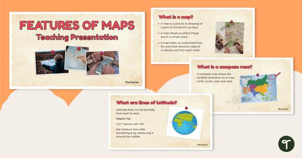
Features of Maps - Teaching Presentation
Explore the most common features of maps with this engaging teaching presentation.
- Plus Plan
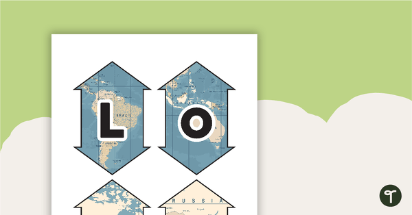
Latitude and Longitude Banners
Latitude and longitude banners to display in the classroom when studying geography.
- Plus Plan
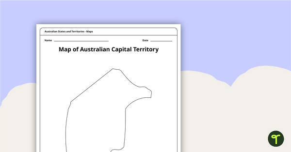
Black Map of the Australian Capital Territory - Template
Record and represent data about the location of significant places with this printable blank map of the Australian Capital Territory.
- Plus Plan
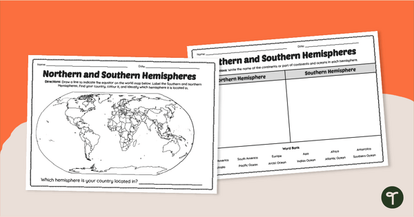
Earth's Hemispheres Worksheets
Practise identifying landforms in the northern and southern hemispheres with a pair of printable geography worksheets.
- Plus Plan
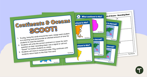
Continents and Oceans - SCOOT! Task Cards
Learn to locate and identify the continents and oceans on Earth with a game of SCOOT!