Maps Worksheets for Teachers
- Free Plan
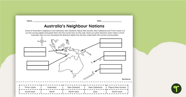
Countries Neighbouring Australia - Cut and Paste Worksheet
Discover the location of some of the countries neighbouring Australia with this simple cut-and-paste worksheet.
- Plus Plan
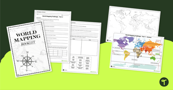
World Mapping Workbook
Develop mapping skills by plotting key features and locations onto a map of the world.
- Free Plan
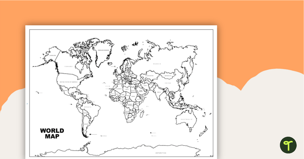
World Map with Countries - Black and White
Teach your students about the continents and countries of the world with this black-and-white world map.
- Plus Plan
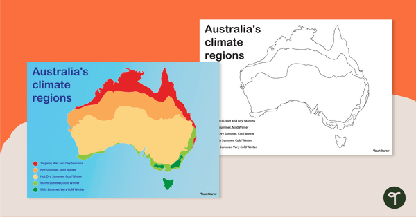
Australian Climate Regions Poster and Worksheet
A poster and a worksheet outlining the climate regions in Australia.
- Plus Plan
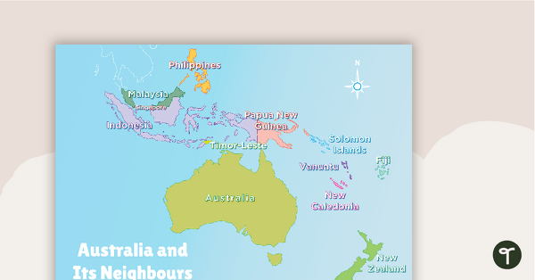
Australia and Its Neighbours - Poster and Labelling Activity
A set of maps and worksheet for students to use when looking at Australia and its neighbours.
- Plus Plan
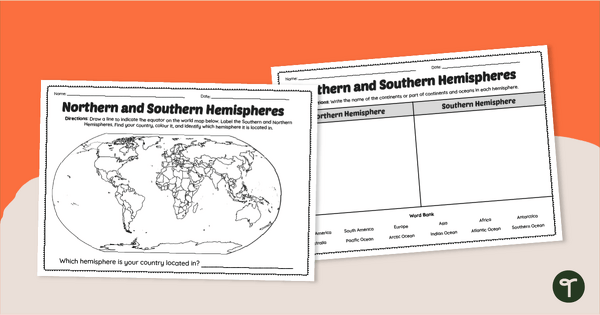
Earth's Hemispheres Worksheets
Practise identifying landforms in the northern and southern hemispheres with a pair of printable geography worksheets.
- Free Plan
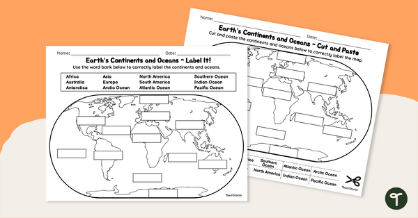
Labelling the Continents and Oceans Worksheets
Turn Geography into a fun and educational learning experience with our cut-and-paste worksheets!
- Free Plan
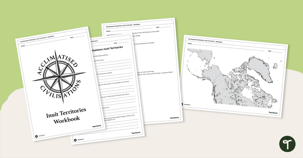
Acclimatised Civilisations: Inuit Territories – Workbook
Learn about the physical and human geography of the Inuit Territories with this inquiry-based mapping activity.
- Plus Plan
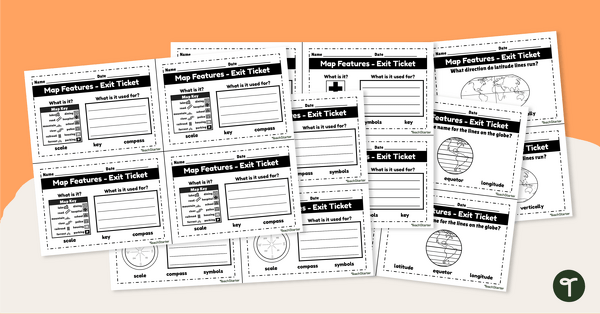
Features of Maps - Exit Tickets
Assess student map and globe skills with twenty exit ticket worksheets.
- Free Plan
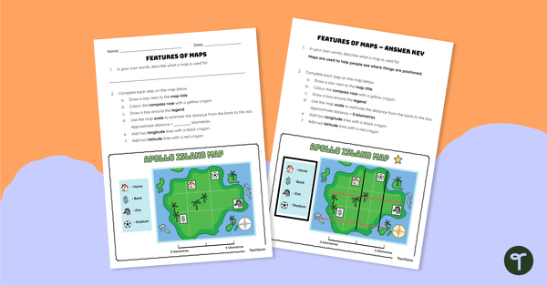
Features of Maps - Worksheet
Apply knowledge of the components of a map to this map elements worksheet.
- Plus Plan
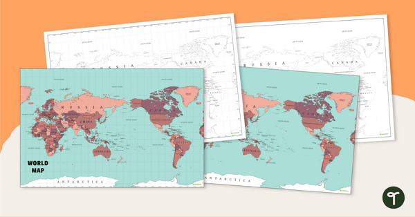
Australia-Centred World Map
Teach your students about the continents, oceans and countries of the world with this Australia-centred world map.
- Free Plan
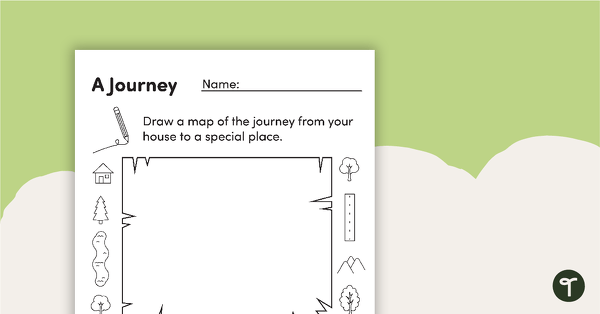
Mapping a Journey – Worksheet
A worksheet that allows students to create a map of a journey when exploring local places.
- Free Plan
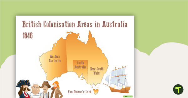
British Colonisation Areas in Australia - 1846 Map and Worksheet
A map to display in the classroom when learning about areas in Australian that were colonised by the British in 1846.
- Plus Plan
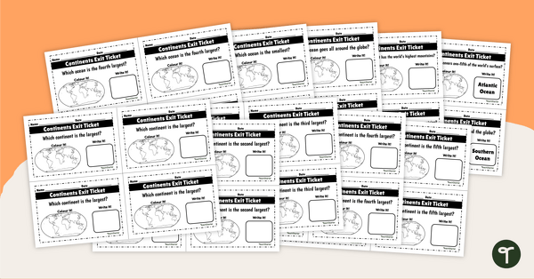
Continents and Oceans - Exit Tickets
Determine your students' mastery of Geography concepts with a set of twenty continents and oceans exit tickets.
- Plus Plan
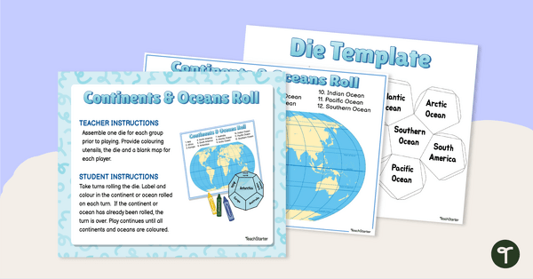
Continents and Oceans - Roll and Colour Game
Learn to identify the continents and oceans of the world with an engaging partner game.
- Plus Plan
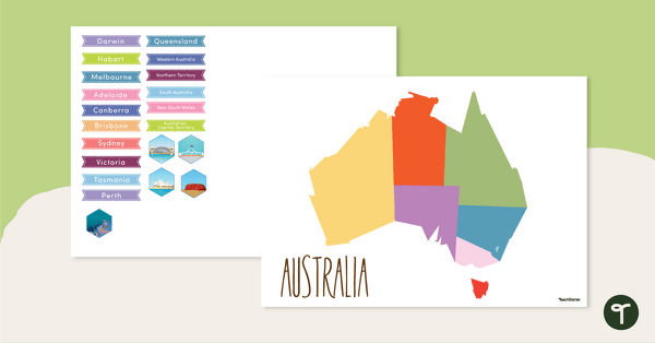
Map of Australia - Labelling Activity
Discover and label Australia's states, capital cities and key landmarks on this blank map.
- Free Plan
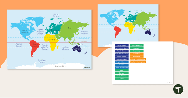
Map of the World - Labelling Activity
Discover and label the world's continents and oceans with this blank map of the world.
- Plus Plan
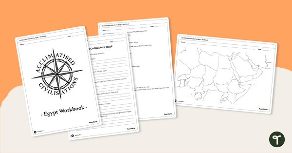
Acclimatised Civilisations: Egypt – Workbook
Learn about the physical and human geography of Egypt and the Sahara Desert with this inquiry-based mapping activity.
- Plus Plan
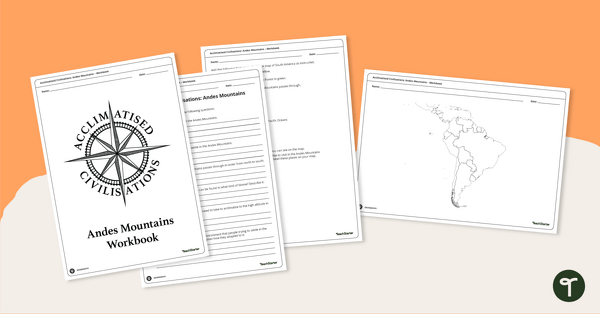
Acclimatised Civilisations: Andes Mountains – Workbook
Learn about the physical and human geography of the Andes mountains in South America with this inquiry-based mapping activity.
- Plus Plan
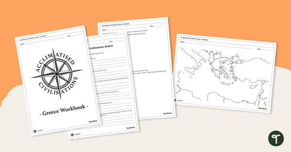
Acclimatised Civilisations: Greece – Workbook
Learn about the physical and human geography of Greece and the Mediterranean region with this inquiry-based mapping activity.
- Plus Plan
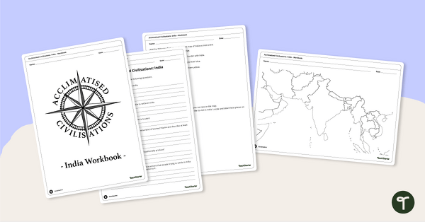
Acclimatised Civilisations: India – Workbook
Learn about the physical and human geography of the continent of India with this inquiry-based mapping activity.
- Free Plan
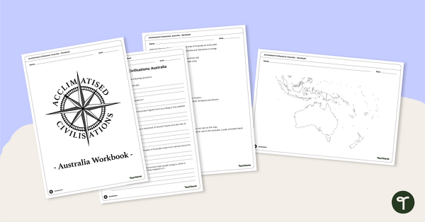
Acclimatised Civilisations: Australia – Workbook
Learn about the physical and human geography of the continent of Australia with this inquiry-based mapping activity.
- Plus Plan
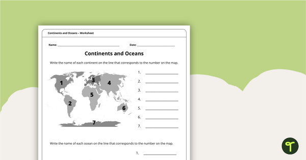
Continents and Oceans Worksheet
A worksheet to practise identifying the 7 continents and 5 oceans.
- Plus Plan
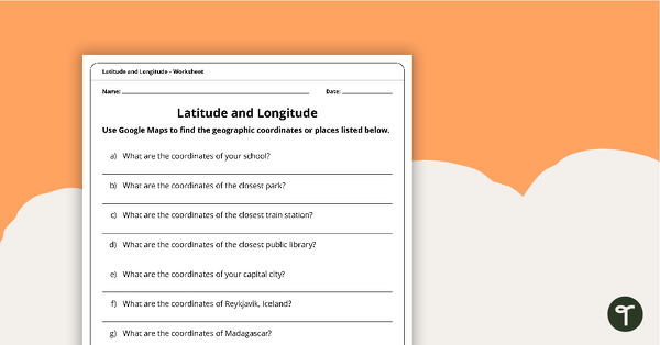
Latitude and Longitude Worksheet
Use this worksheet along with Google Maps to teach your students about longitude and latitude.
- Plus Plan
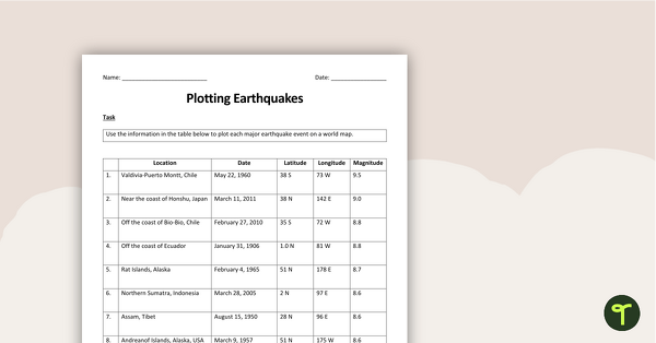
Plotting Earthquakes Worksheet & Map Activity
Teach longitude and latitude with a printable earthquakes plotting worksheet and map activity.