Maps Teaching Resources for Year 3
- Plus Plan
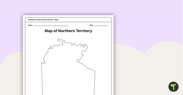
Map of the Northern Territory Template
Record and represent data about the location of significant places with this printable blank map of the Northern Territory.
- Plus Plan
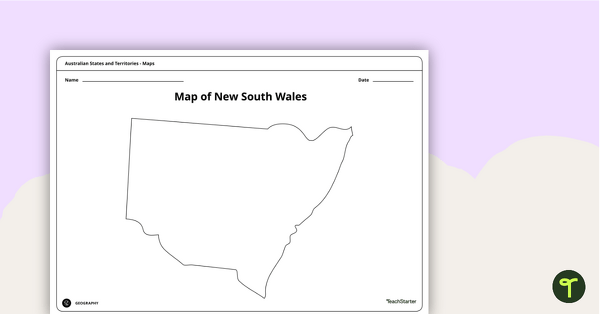
Blank Map of New South Wales - Template
Record and represent data about the location of significant places with this printable blank map of the Australian state of New South Wales.
- Plus Plan
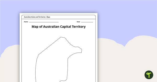
Black Map of the Australian Capital Territory - Template
Record and represent data about the location of significant places with this printable blank map of the Australian Capital Territory.
- Plus Plan
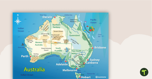
Australian Landform Map
A map of Australia showing the major landforms.
- Free Plan
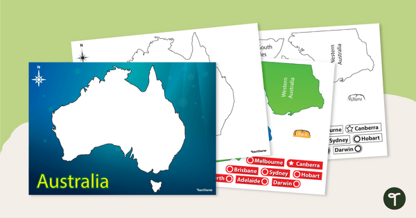
Australian Map Puzzle
Help your students build understanding of the map of Australia with this interactive game.
- Plus Plan
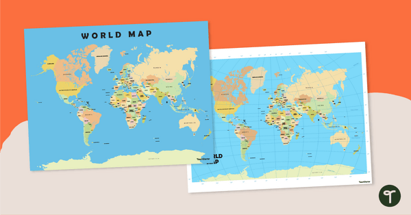
World Map Poster
Teach your students about the continents and countries of the world with this detailed map.
- Free Plan
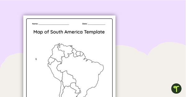
Blank Map of South America - Template
Record and represent data about the location of significant places with this printable blank map of the continent of South America.
- Free Plan
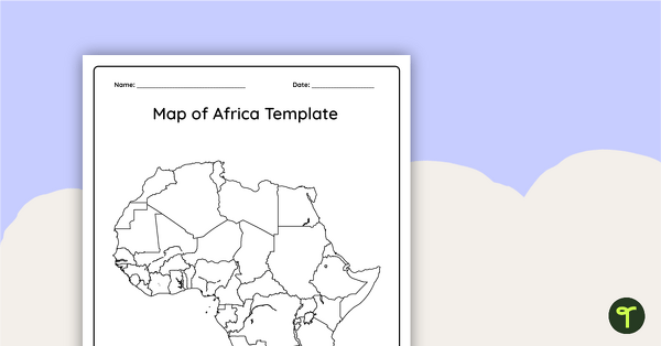
Blank Map of Africa Template
Record and represent data about the location of significant places with this printable blank map of the continent of Africa.
- Plus Plan
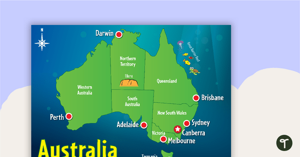
Cartoon Map of Australia
Explore the continent of Australia with a map showing each capital city and some of the most famous landmarks.
- Free Plan
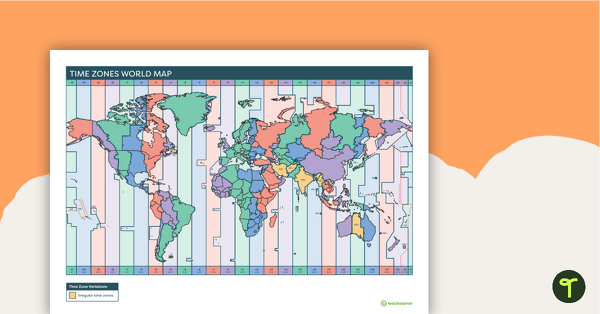
Time Zones World Map
A poster to display in the classroom to show the different time zones of the world.
- Plus Plan
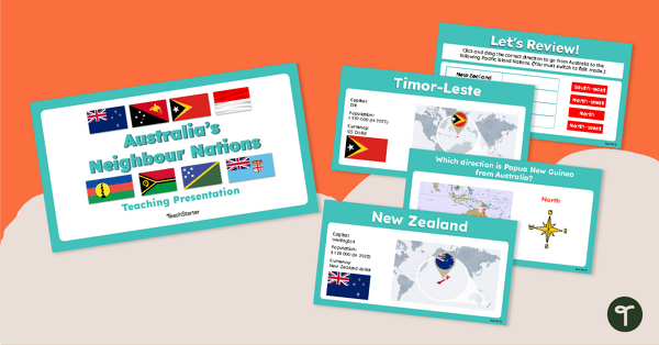
Australia's Neighbour Nations — Teaching Presentation
Discover the location of some of Australia’s closest neighbour nations with this comprehensive and visually appealing teaching presentation.
- Plus Plan
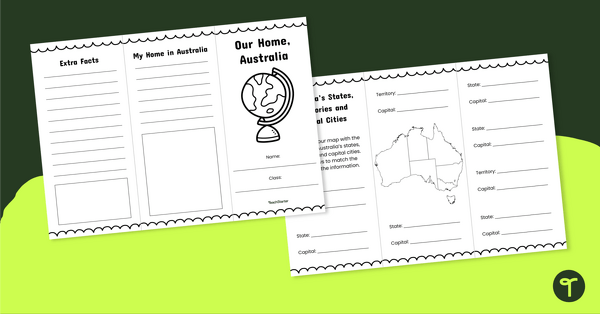
Our Home, Australia Brochure - Template
Explore the six states and two territories of Australia with this informative brochure template.
- Plus Plan
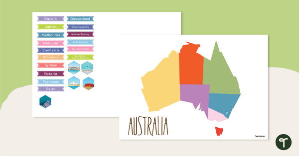
Map of Australia - Labelling Activity
Discover and label Australia's states, capital cities and key landmarks on this blank map.
- Plus Plan
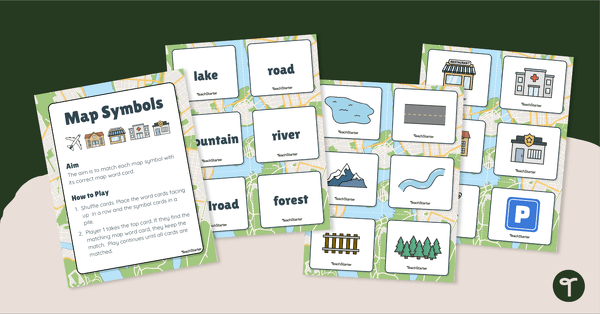
Map Symbols Match-Up Activity
Practise identifying the symbols found on a map with a map symbol matching activity.
- Free Plan
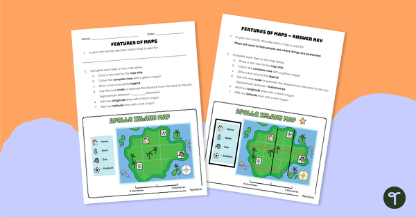
Features of Maps - Worksheet
Apply knowledge of the components of a map to this map elements worksheet.
- Plus Plan
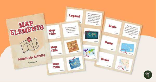
Elements of a Map Match-up Activity
Use knowledge of the features of a map with this map element matching game.
- Plus Plan
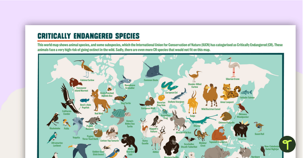
Critically Endangered Species Map
Use this endangered species world map when exploring animals that have been placed on the Critically Endangered list.
- Plus Plan
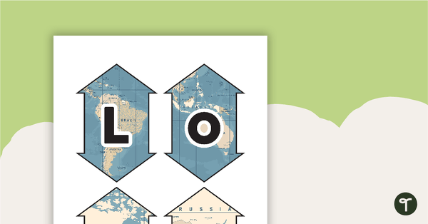
Latitude and Longitude Banners
Latitude and longitude banners to display in the classroom when studying geography.
- Plus Plan
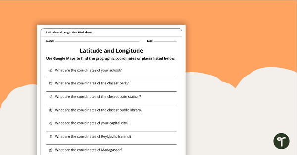
Latitude and Longitude Worksheet
Use this worksheet along with Google Maps to teach your students about longitude and latitude.
- Plus Plan
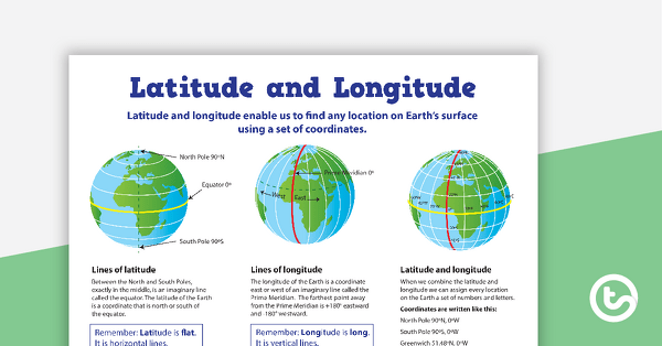
Latitude and Longitude Poster
Use this educational poster when students are learning about geographical coordinates, latitude and longitude.
- Plus Plan
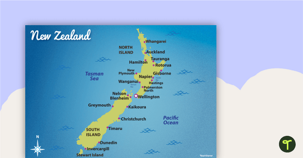
Map of New Zealand
Familiarise your students with Australia’s neighbouring countries with this detailed map of New Zealand.
- Plus Plan
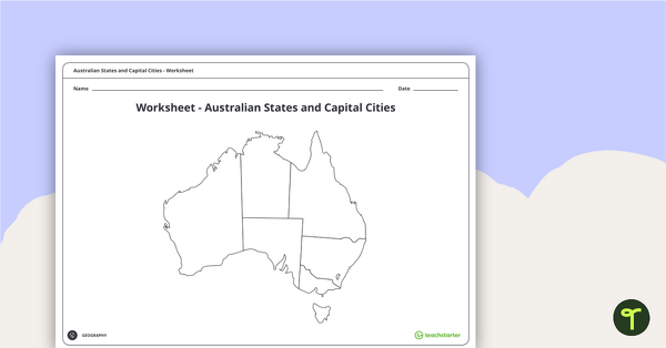
Australian States and Capital Cities Map Worksheet
A worksheet for students to use when learning about Australian states, territories and capital cities.
- Plus Plan
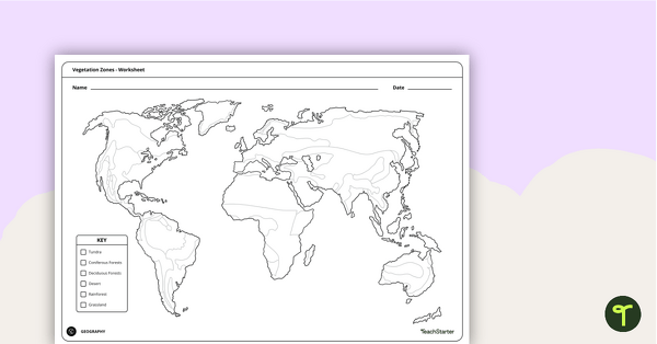
World Vegetation Zones - Mapping Template
Locate and explore different vegetation zones around the world with this mapping worksheet.
- Plus Plan
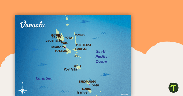
Map of Vanuatu
Familiarise your students with Australia’s neighbouring countries with this detailed map of Vanuatu.
- Plus Plan
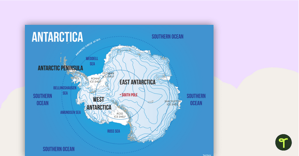
Map of Antarctica
Familiarise your students with the continent of Antarctica using a labelled map.
- Plus Plan
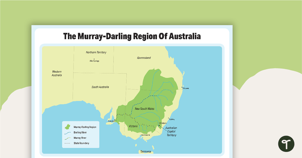
The Murray-Darling Region Of Australia Poster
A poster to show the Murray-Darling Region of Australia.
- Plus Plan
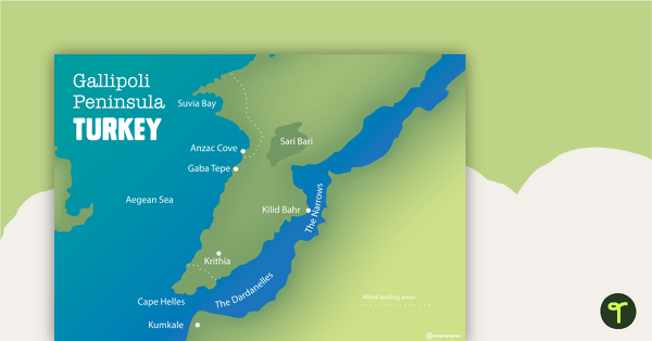
World War One Maps
A set of maps to use in the classroom when learning about WW1.
- Plus Plan
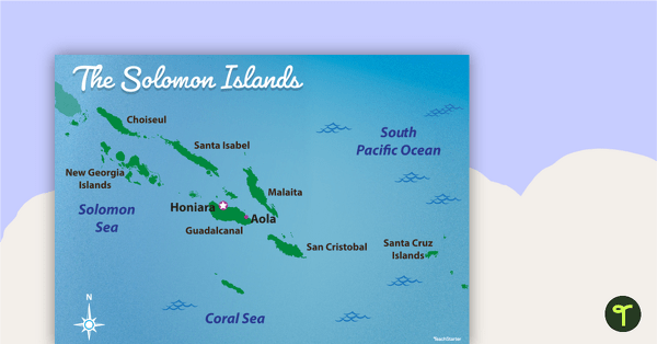
Map of The Solomon Islands
Familiarise your students with Australia’s neighbouring countries with this detailed map of The Solomon Islands.
- Plus Plan
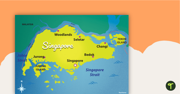
Map of Singapore
Familiarise your students with Australia’s neighbouring countries with this detailed map of Singapore.
- Plus Plan
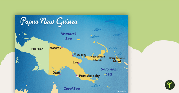
Map of Papua New Guinea
Familiarise your students with Australia’s neighbouring countries with this detailed map of Papua New Guinea.
- Plus Plan
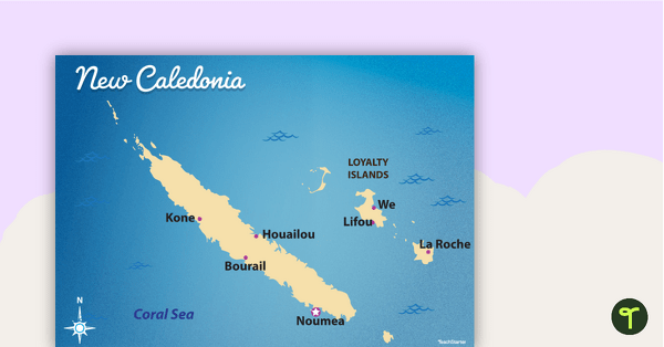
Map of New Caledonia
Familiarise your students with Australia’s neighbouring countries with this detailed map ofNew Calendonia.
- Free Plan
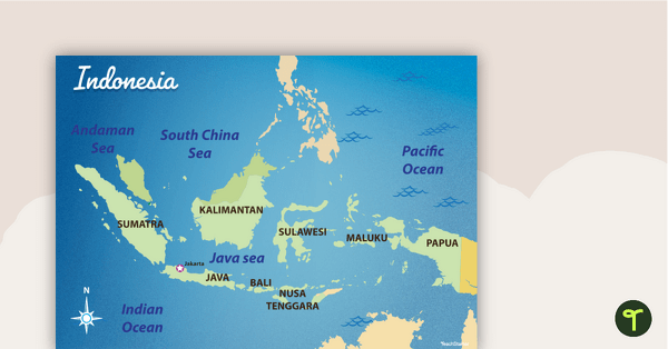
Map of Indonesia
Familiarise your students with Australia’s neighbouring countries with this detailed map of Indonesia.