Australia Maps Teaching Resources
Make lesson planning easier with printable Australian state and territory maps, blank Australian maps, activities, worksheets and more geography teaching resources created for primary teachers!
This collection was designed to give teachers the resources they need to teach about the country and continent of Australia, with printable and digital options that you can easily edit to suit your needs.
We didn't stop there! Read on for some handy Australian state and territory facts you can use in the classroom plus fun map activity ideas from our teacher team!
Australian State and Territory Capitals — A Handy List for Teachers
Maps have a long list of uses in the primary classroom, and teaching the six state and two territory capitals sits right at the top of the list! Here's a handy reminder of all of Australia's capital cities to use:
- New South Wales — Sydney
- Northern Territory — Darwin
- Queensland — Brisbane
- South Australia — Adelaide
- Tasmania — Hobart
- Victoria — Melbourne
- Western Australia — Perth
Of course, Canberra is both the capital city of Australia and of the Capital Territory!

6 Fun Australia Map Activity Ideas for the Classroom
Now that you have your maps, how do you incorporate them into your lesson planning? Try any of these activity ideas from our teacher team!
- State and Territory Capital Cities Scavenger Hunt — Help your students commit the state capitals to memory! Print a blank map, and a list of capitals from Perth to Melbourne. Students can work in small groups to locate each capital on their map and mark them with a sticker or pen.
- State and Territory History Research — Assign each student one of Australia's states or territories (or allow students to choose from your list), and have them research and present on that state’s history. Students can use a blank map, filling in important cities and landforms.
- Australian Road Trip Planner — Work on students’ map skills by planning a road trip across the country, using a map to identify and mark the route they would take. Students can also research and plan stops along the way, such as national parks or famous landmarks.
- Time Zone Challenge — Give each student a map of Australia with the time zones labelled, and have them identify the time in each zone. For an added challenge, have students calculate the time difference between each zone.
- Famous Landmark Project — Assign each student a famous landmark, such as the Sydney Harbour Bridge or the Melbourne Cricket Ground, and have them create a project that includes a description of the landmark, its location on a map and fun facts about its history.
- Population Study — Students can use a map and a list of state and territory populations, identifying the areas of Australia with the highest and lowest populations. Next, they’ll create a bar graph to compare the population of different states.
- Plus Plan
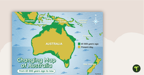
Changing Map of Australia - 65 000 Years Ago to Present Day
A map showing the changes in Australia's coastline from 65 000 years ago to the present day.
- Plus Plan
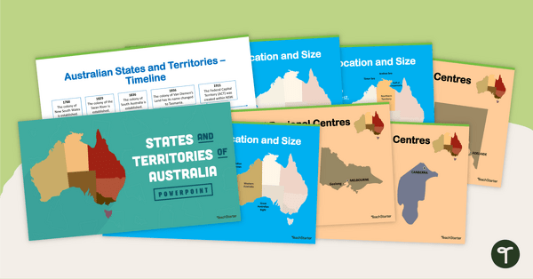
States and Territories of Australia PowerPoint
Explore Australia's six states and two territories with this 27-slide editable teaching presentation.
- Plus Plan
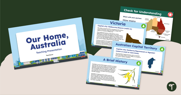
Our Home, Australia: Teaching Presentation
Familiarise your students with the six states and two territories of Australia with this informative teaching presentation.
- Plus Plan
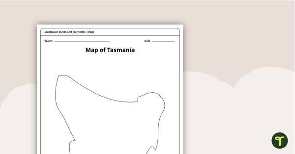
Blank Map of Tasmania Template
Record and represent data about the location of significant places with this printable blank map of the Australian state of Tasmania.
- Free Plan
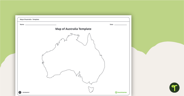
Blank Map of Australia - Template
Record and represent data about the location of significant places with this printable blank map of the continent of Australia.
- Plus Plan
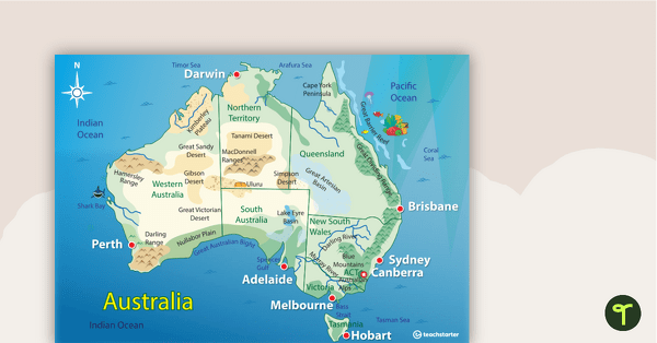
Australian Landform Map
A map of Australia showing the major landforms.
- Plus Plan
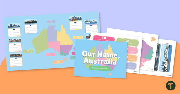
Australian States, Territories and Capital Cities - Class Display
Brighten up your classroom bulletin boards with a vibrant and informative classroom display about Australia’s states and territories.
- Free Plan
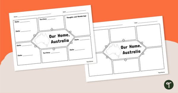
Our Home, Australia: Note-Taking Graphic Organiser
Summarise key information about Australia’s states and territories with this note-taking graphic organiser.
- Plus Plan
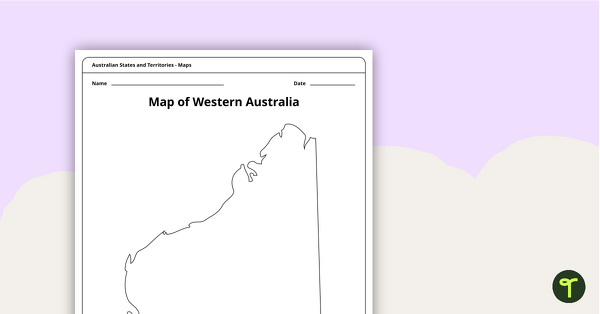
Blank Map of Western Australia - Template
Record and represent data about the location of significant places with this printable blank map of the Australian state of Western Australia.
- Plus Plan
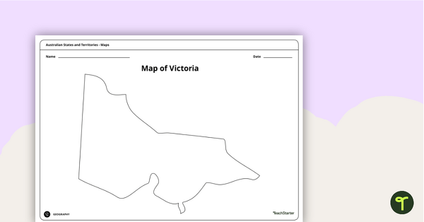
Blank Map of Victoria - Template
Record and represent data about the location of significant places with this printable blank map of the Australian state of Victoria.
- Plus Plan
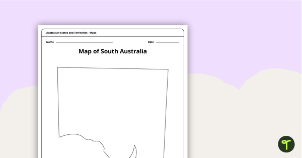
Blank Map of South Australia - Template
Record and represent data about the location of significant places with this printable blank map of the Australian state of South Australia.
- Plus Plan
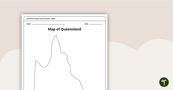
Blank Map of Queensland - Template
Record and represent data about the location of significant places with this printable blank map of the Australian state of Queensland.
- Plus Plan
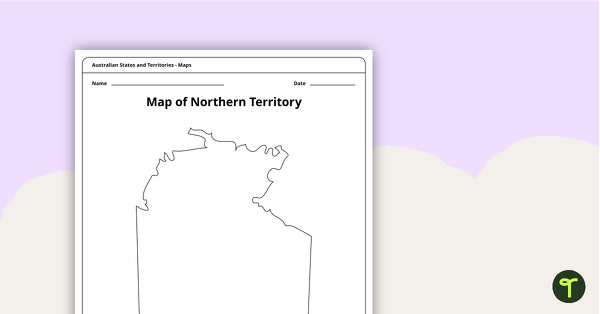
Map of the Northern Territory Template
Record and represent data about the location of significant places with this printable blank map of the Northern Territory.
- Plus Plan
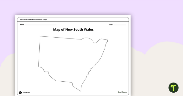
Blank Map of New South Wales - Template
Record and represent data about the location of significant places with this printable blank map of the Australian state of New South Wales.
- Plus Plan
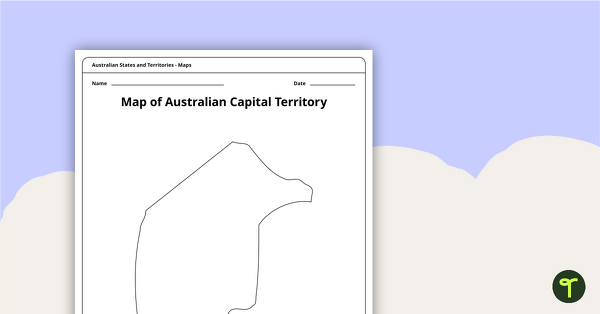
Black Map of the Australian Capital Territory - Template
Record and represent data about the location of significant places with this printable blank map of the Australian Capital Territory.
- Free Plan
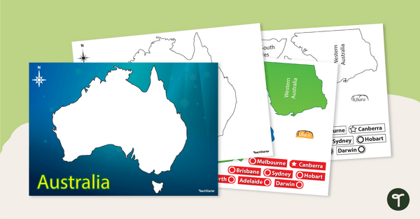
Australian Map Puzzle
Help your students build understanding of the map of Australia with this interactive game.
- Free Plan
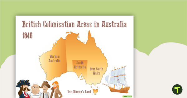
British Colonisation Areas in Australia - 1846 Map and Worksheet
A map to display in the classroom when learning about areas in Australian that were colonised by the British in 1846.
- Plus Plan
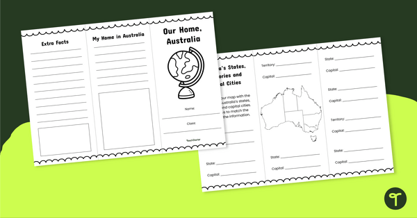
Our Home, Australia Brochure - Template
Explore the six states and two territories of Australia with this informative brochure template.
- Plus Plan
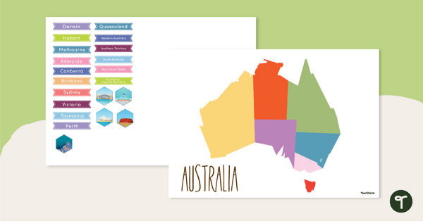
Map of Australia - Labelling Activity
Discover and label Australia's states, capital cities and key landmarks on this blank map.
- Plus Plan
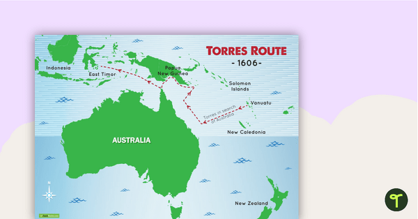
Torres Route 1606 Map
A map to display in the classroom when learning about Luis de Torres' route across the top of Australia in 1606.
- Free Plan
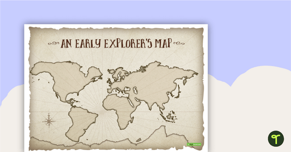
An Early Explorer's Map
An early explorer's map to display in the classroom when learning about European exploration.
- Plus Plan
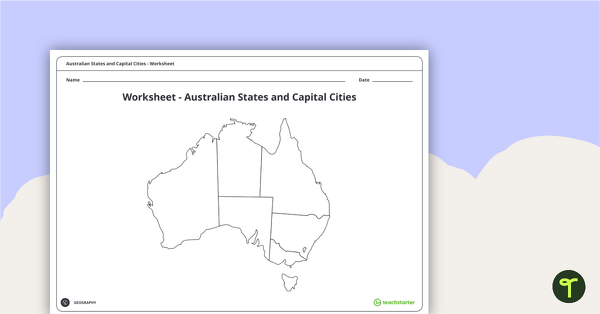
Australian States and Capital Cities Map Worksheet
A worksheet for students to use when learning about Australian states, territories and capital cities.
- Plus Plan
Australian States and Territories
A 60 minute lesson in which students will investigate how Australia can be represented on a map as states and territories.