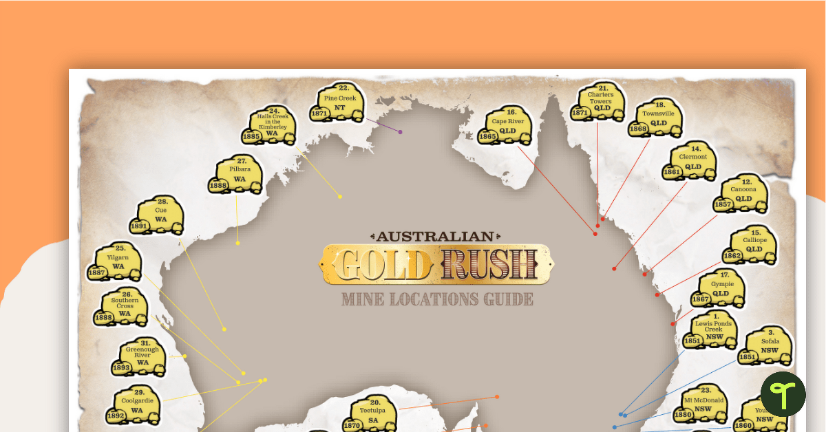
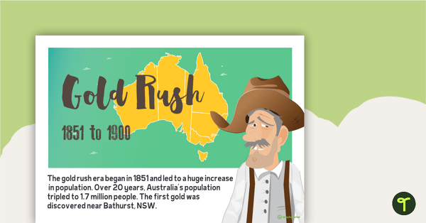
A fun mapping activity for students to pinpoint gold finds and gold rush locations between 1851 to 1893 on a map of Australia.
This teaching resource is a mapping activity designed to help students research and locate important sites relating to the Australian Gold Rush on a map of Australia.
Students will use their mapping skills to find and label goldfield locations. This resource includes 32 gold nuggets that detail gold rush locations and the year mine sites were established. Blank gold nuggets are available for students to add additional goldfields relevant to particular states or regions. An answer sheet is included for student or teacher marking.
Print in A3 for the best results.
This resource is part of Teach Starter’s Australian Gold Rush unit.






0 Comments
Write a review to help other teachers and parents like yourself. If you'd like to request a change to this resource, or report an error, select the corresponding tab above.