A map of Australia showing the major landforms.
Print this Australian Landform Map out on A3 or larger and display it in your classroom.
Updated: 20 Sep 2023
A map of Australia showing the major landforms.
Non-Editable: PDF
Pages: 1 Page
Years: 1 - 7
The representation of the location of places and their features on simple maps and models
The idea that places are parts of Earth??s surface that have been named by people, and how places can be defined at a variety of scales
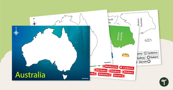
The representation of Australia as states and territories and as Countries/Places of Aboriginal and Torres Strait Islander Peoples; and major places in Australia, both natural and human
Communicates geographical information and uses geographical tools
Describes features of places and the connections people have with places
Describes the ways people, places and environments interact
Representation of Australia as states and territories, and Australia’s major natural and human characteristics
Representation of Australia as states and territories, and Australia’s major natural and human characteristics
The representation of contemporary Australia as states and territories, and as the Countries/Places of First Nations Australians prior to colonisation, and the locations of Australia’s neighbouring regions and countries
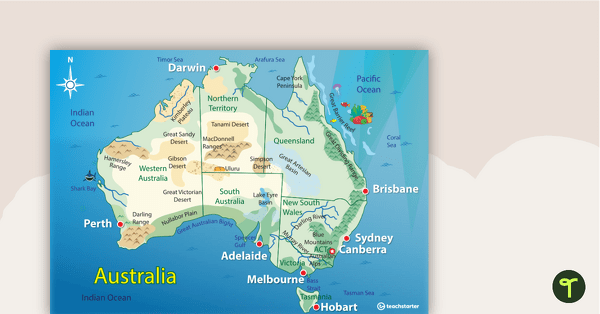
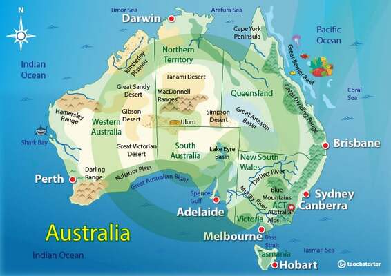
A map of Australia showing the major landforms.
Print this Australian Landform Map out on A3 or larger and display it in your classroom.
The representation of the location of places and their features on simple maps and models
The idea that places are parts of Earth??s surface that have been named by people, and how places can be defined at a variety of scales
The representation of Australia as states and territories and as Countries/Places of Aboriginal and Torres Strait Islander Peoples; and major places in Australia, both natural and human
Communicates geographical information and uses geographical tools
Describes features of places and the connections people have with places
Describes the ways people, places and environments interact
Representation of Australia as states and territories, and Australia’s major natural and human characteristics
Representation of Australia as states and territories, and Australia’s major natural and human characteristics
The representation of contemporary Australia as states and territories, and as the Countries/Places of First Nations Australians prior to colonisation, and the locations of Australia’s neighbouring regions and countries

We create premium quality, downloadable teaching resources for primary/elementary school teachers that make classrooms buzz!
Spelling fixed MacDonnell Ranges
Would you like something changed or customised on this resource? While our team makes every effort to complete change suggestions, we can't guarantee that every change will be completed.
Did you spot an error on this resource? Please let us know and we will fix it shortly.
Are you having trouble downloading or viewing this resource? Please try the following steps:
If you are still having difficulty, please visit the Teach Starter Help Desk or contact us .
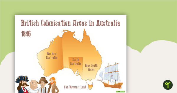
A map to display in the classroom when learning about areas in Australian that were colonised by the British in 1846.
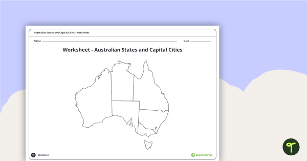
A worksheet for students to use when learning about Australian states, territories and capital cities.
Help your students build understanding of the map of Australia with this interactive game.
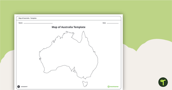
Record and represent data about the location of significant places with this printable blank map of the continent of Australia.
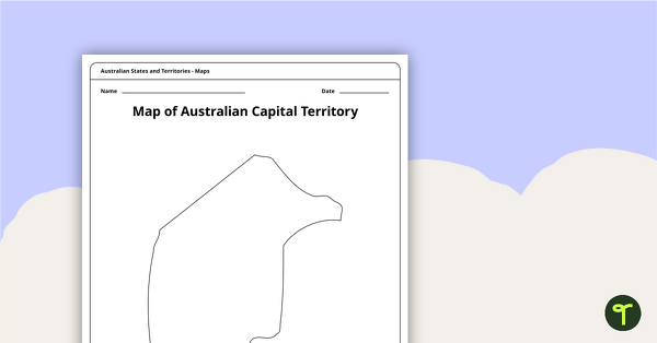
Record and represent data about the location of significant places with this printable blank map of the Australian Capital Territory.
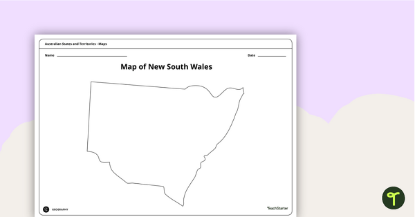
Record and represent data about the location of significant places with this printable blank map of the Australian state of New South Wales.
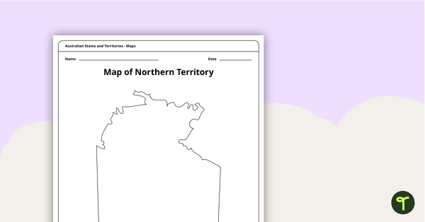
Record and represent data about the location of significant places with this printable blank map of the Northern Territory.
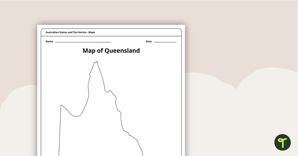
Record and represent data about the location of significant places with this printable blank map of the Australian state of Queensland.
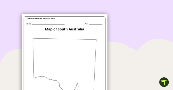
Record and represent data about the location of significant places with this printable blank map of the Australian state of South Australia.
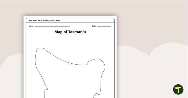
Record and represent data about the location of significant places with this printable blank map of the Australian state of Tasmania.
6 Comments
Write a review to help other teachers and parents like yourself. If you'd like to request a change to this resource, or report an error, select the corresponding tab above.
No comments yet.