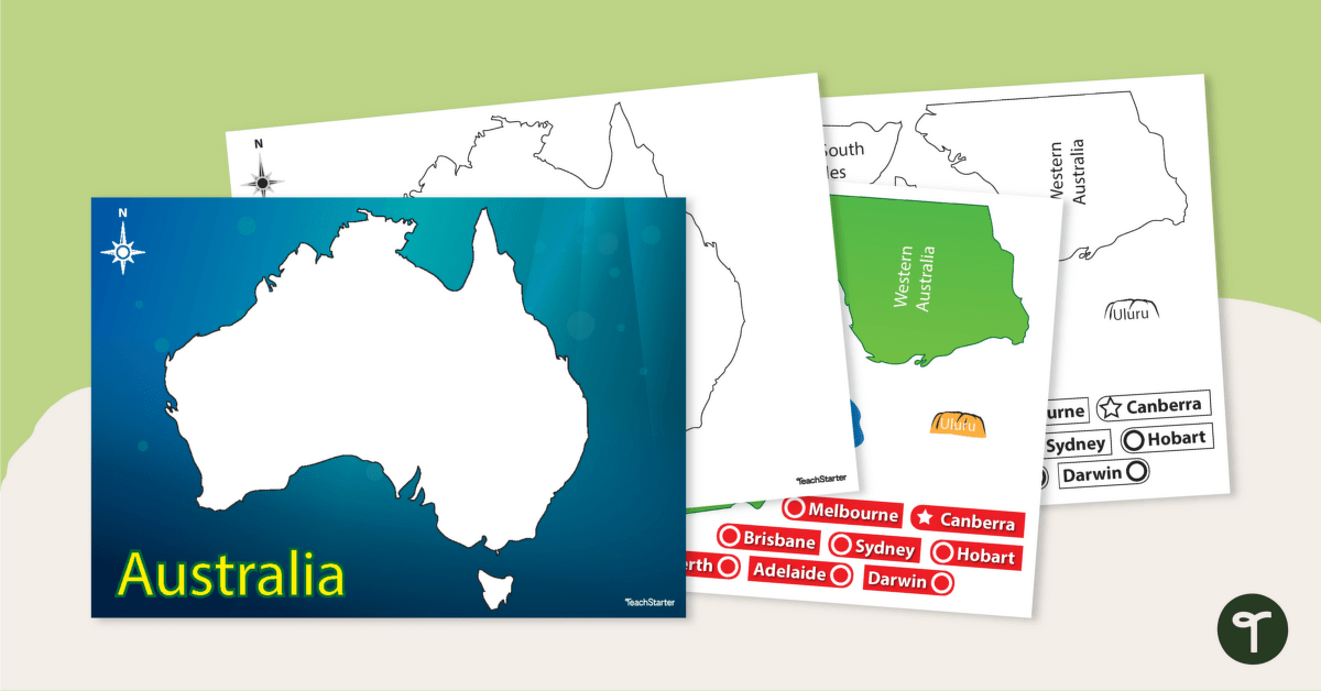
Help your students build understanding of the map of Australia with this interactive game.
Put Australia Together with a Puzzle!
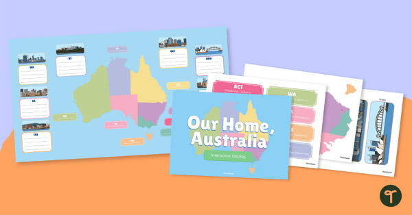
Are you venturing on an adventure into Australian geography with your students? Well, they will need to become familiar with Australia’s states, capital cities and major landmarks!
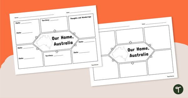
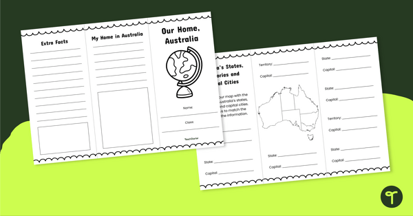
This hands-on resource allows students to interactively engage with the different states, territories, capitals and famous landmarks of the Australian continent. This map downloads as a full-colour or black-and-white PDF, allowing it to be used in multiple ways in your Geography lessons! You might like to use it as a:
- Whole-class lesson
- Collaborative group task
- Individual extension
- Homework activity
- Summative assessment
Using This Blank Map of Australia
- Some students may not yet be familiar with all of Australia’s states and capital cities… and that’s okay! Support them by allowing them to access an atlas or digital mapping tool while completing the activity. Students with lower-literacy skills may also need support reading the labels.
- For those students who are confident in their geographical skills, why not challenge them to write questions about the map of Australia for a partner to complete? Encourage them to draw upon key map features, such as cardinal directions, when writing their questions.
How to Prepare This Resource for Your Students
Print out the puzzle background and the puzzle pieces. Laminate them so they can be used over again, or for a more sustainable option, print on thick card for durability.
Use the dropdown menu next to the Download button to select between the full-colour or black-and-white PDF.

There is no ACT!
Hi Lara, Thank you for bringing that to our attention. We have fixed the file and it is ready to download again now. Kind regards Jill
Fantastic!! Thanks so much
No problem Tracy. Glad you like it! Kind regards Jill