Discover the location of some of Australia’s closest neighbour nations with this comprehensive and visually appealing teaching presentation.
Exploring the Location of Australia’s Neighbours
How well do you know the names of your neighbours?
While the continent of Australia is also a single country, it is surrounded by many island nations that we consider to be our neighbours. It is important that our students know the names of these special nations, as well as where to find them within our diverse region!
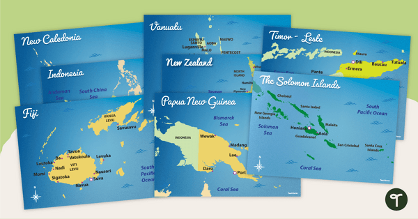
Using geographical tools (maps) is one of the best ways to familiarise your students with the precise location of Australia and its neighbours. By identifying the nations on a map, as well as the direction each nation is located in relation to Australia, students will develop a better understanding of our region’s continents, oceans and countries.
Ready-Made Lessons on Australia and Its Neighbours
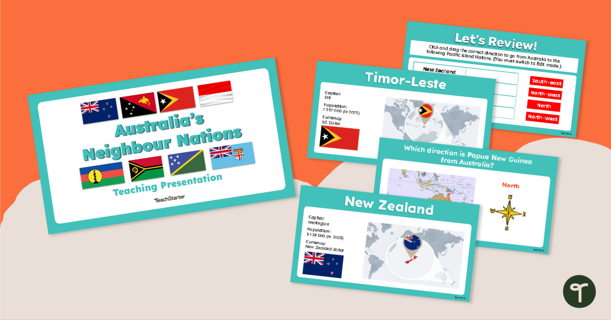
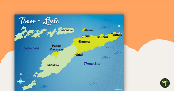
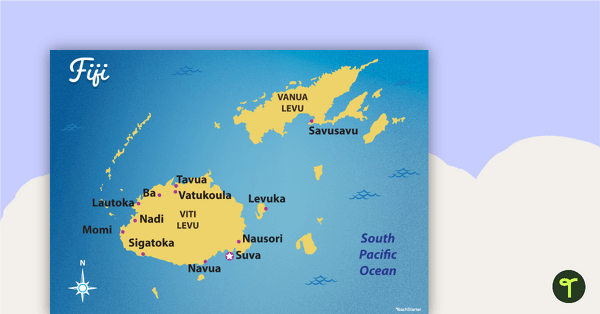
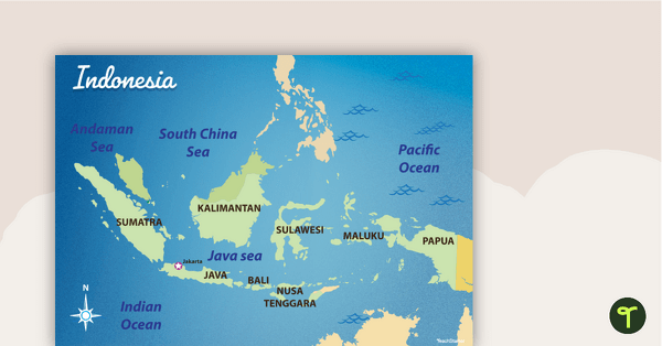
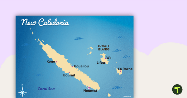
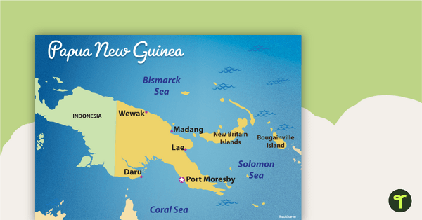
This teaching presentation has been designed to introduce your students to eight of Australia’s closest neighbour nations: New Zealand, New Caledonia, Papua New Guinea, Indonesia, Vanuatu, Timor-Leste, The Solomon Islands and Fiji. Each country is introduced on a feature slide which includes a map pinpointing the country’s location in relation to Australia. The slide also includes information about:
- the capital city
- the population (in 2023)
- the currency
- the flag.
After each country has been introduced, a second slide requires students to use the map and compass rose provided to identify the direction each country is located from Australia.
An interactive drag-and-drop review activity is also included at the end of the presentation.
Download, Project, Teach!
Use the dropdown menu next to the Download button to select between the Google Slides or Microsoft PowerPoint version of this presentation.
This resource was created by Amy Adam, a Teach Starter collaborator.

0 Comments
Write a review to help other teachers and parents like yourself. If you'd like to request a change to this resource, or report an error, select the corresponding tab above.