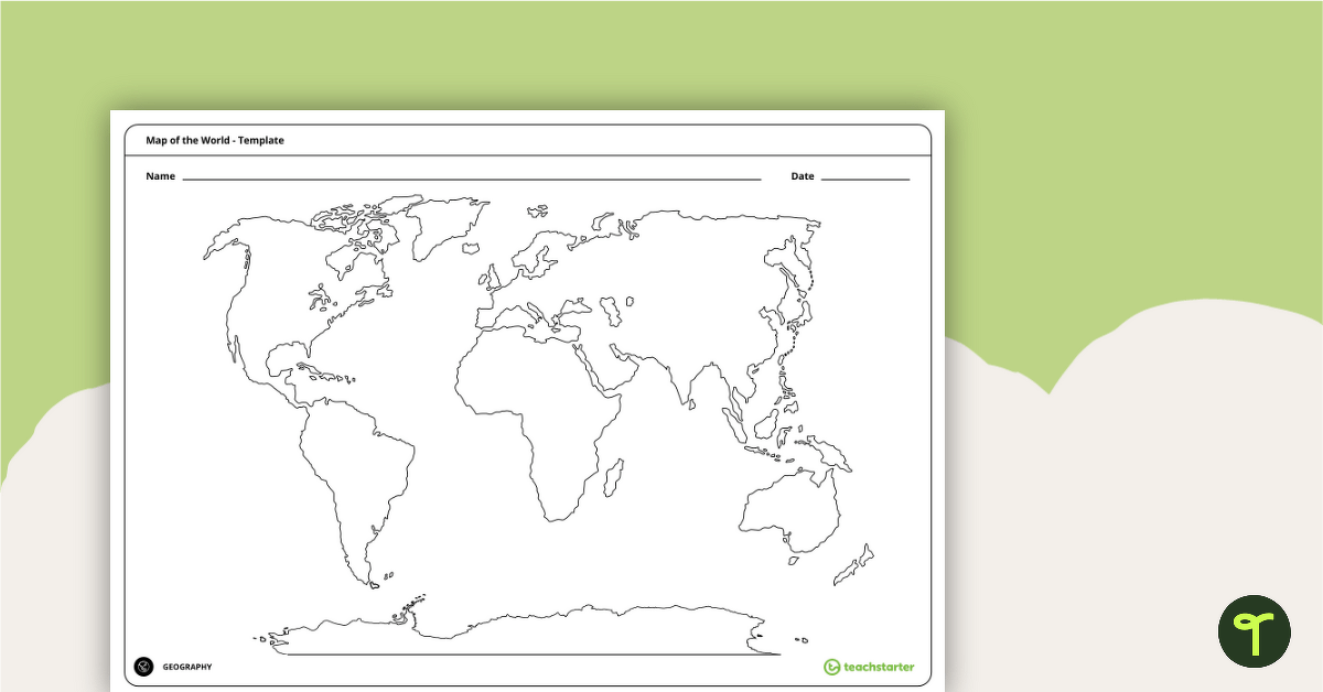
Teach your students about the world’s seven continents and five oceans with this blank map of the world for labelling.
A World Map for Labelling Continents and Oceans
Are you venturing on an adventure into World Geography with your students? Well, they will need to become familiar with the world’s continents and oceans!
This unlabelled, black-and-white map of the world enables your students to become more familiar with the seven continents and five oceans that comprise our great planet. Students are required to locate each continent and ocean, then label them on the world map template.
Multiple Uses for This Continents and Oceans Map
This blank map of the world makes a great asset to your Geography lessons and can be used in a multitude of ways in your classroom. Here are some suggestions:
Labels the continents and ocean as a whole-class activity
This versatile world map of the continents and oceans can be projected onto your interactive whiteboard for a paperless lesson or class review session. Have students take turns coming to the board to label the continents and oceans on the blank map using a whiteboard marker.
Assess student knowledge of the world’s continents and oceans
Provide students with their own printed copy of the blank world map. Have the students label the continents and oceans without accessing any support materials. This could be completed as a pre-test at the beginning of a unit of work, then redone at the completion of a unit as a summative assessment.
Tips for Scaffolding and Extention
In any classroom, there is a multitude of learning needs that must be catered for in every single lesson! We’re here to help with some tips and tricks that may help you differentiate the application of this teaching resource:
- Scaffolding Tips: Some students may not yet be familiar with all the continents and oceans… and that’s okay! Support them by allowing them to access an atlas or digital mapping tool while completing the activity. A labelled world map would do the trick, too!
- Extension Tips: For those students who are confident in their geographical skills, why not fine-tune their mapping skills by having them add additional map features to their map? For example, students could apply a colour-coding system instead of labelling the continents and oceans, then add these to a legend or key.
Download Your Blank Map of the World Template
Use the Download button above to access the easy-print PDF version of this resource.

A blank, pacific centred political world map would be very useful.
Hi Jen, We do have something similar at https://www.teachstarter.com/au/teaching-resource/world-map-poster-australia-centre/ Be sure to check the different versions available in the 'Select a Download' section below the resource description. If it doesn't quite fit the bill, please feel free to suggest a resource on our 'Suggest a Resource' page. https://www.teachstarter.com/au/suggest-a-resource/ Please let me know if you have any further questions, I’m more than happy to help.
Hi - just a small issue - I find the location of NZ on this map a bit off, as it appears to be situated south of the Australian mainland.
Hi there, Douglas. Thanks for your comment, I've passed that on to the team!