Geographical Knowledge
Location of major countries of Africa and South America in relation to Australia and their major characteristics including the types of vegetation and native animals in at least two countries for both continents
- Plus Plan
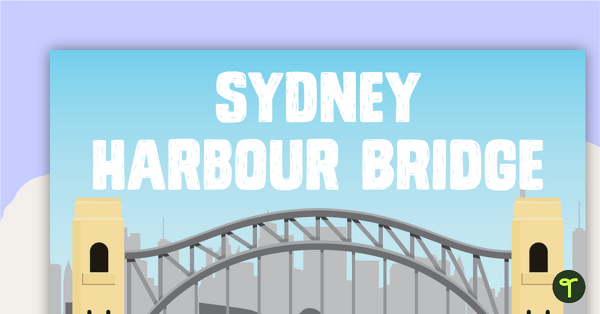
Five Australian Landmarks Posters
A set of 5 posters highlighting some of Australia's most famous Landmarks.
- Plus Plan
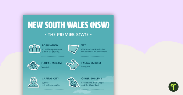
States and Territories of Australia Posters
8 beautifully illustrated posters outlining key information about Australia's states and territories.
- Plus Plan
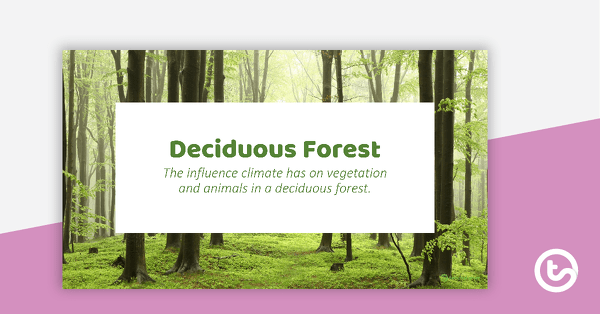
Deciduous Forest PowerPoint
An 11 slide editable PowerPoint to use in the classroom when learning about deciduous forests.
- Plus Plan
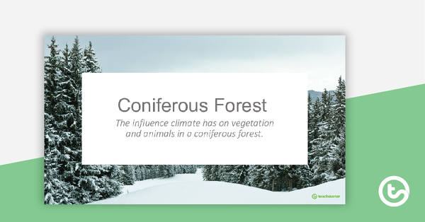
Coniferous Forest PowerPoint
An 11 slide editable PowerPoint to use in the classroom when learning about coniferous forests.
- Plus Plan
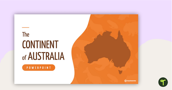
The Continent of Australia PowerPoint
A 20 slide editable PowerPoint template to use when introducing students to the geographical features of Australia.
- Plus Plan
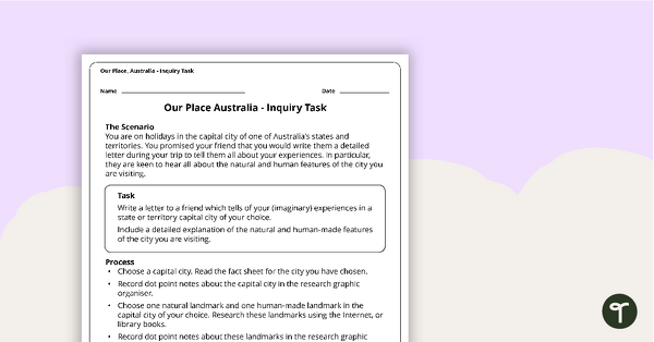
Our Place, Australia - Inquiry Task
An inquiry task focusing on the natural and human features of Australia.
- Plus Plan
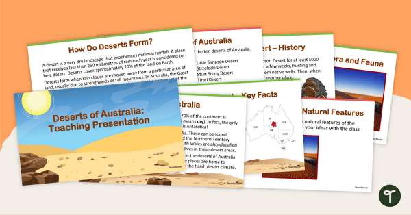
Deserts of Australia - Teaching Presentation
Explore Australia's deserts with this 14-slide editable teaching presentation.
- Plus Plan
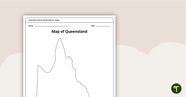
Blank Map of Queensland - Template
Record and represent data about the location of significant places with this printable blank map of the Australian state of Queensland.
- Plus Plan
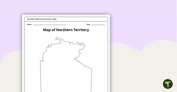
Map of the Northern Territory Template
Record and represent data about the location of significant places with this printable blank map of the Northern Territory.
- Plus Plan
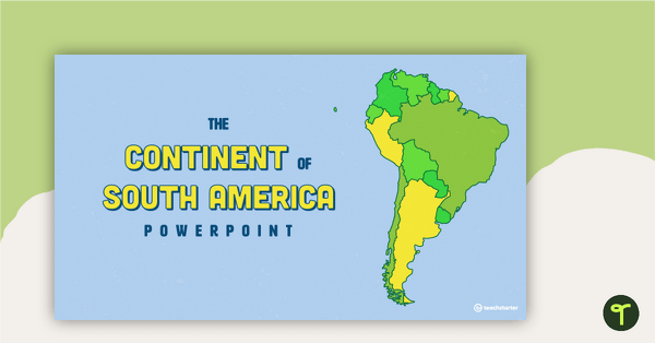
The Continent of South America PowerPoint
A 20 slide editable PowerPoint template to use when introducing students to the geographical features of South America.
- Plus Plan
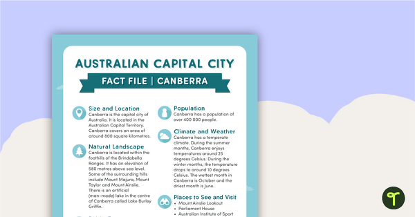
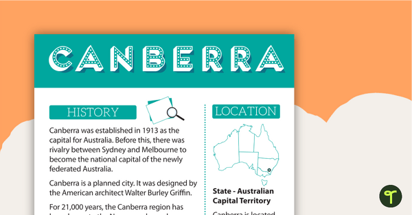
Natural and Human Features of Australia - Canberra Fact File
A beautifully designed and illustrated fact file explaining the natural and human features of Canberra.
- Plus Plan
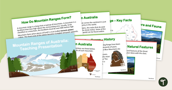
Mountain Ranges of Australia - Teaching Presentation
Explore Australia's mountain ranges with this 14-slide editable teaching presentation.
- Plus Plan
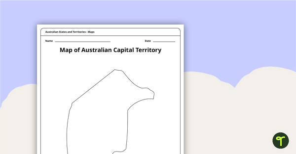
Black Map of the Australian Capital Territory - Template
Record and represent data about the location of significant places with this printable blank map of the Australian Capital Territory.
- Plus Plan
Australian Capital Cities Fact Sheets
A set of 8 posters with facts about each Australian capital city.
- Plus Plan
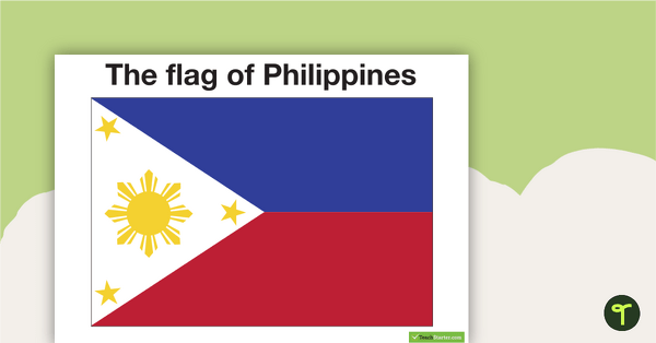
Neighbours of Australia Flags
Twelve flags from countries surrounding Australia.
- Plus Plan
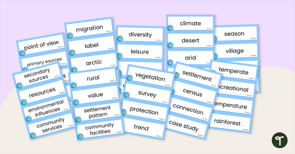
Australia and Its Neighbours - Geography Word Wall Vocabulary
Sixty-three mapping vocabulary cards for Geography.
- Plus Plan
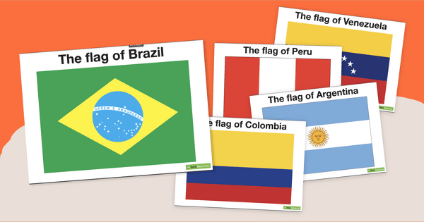
South American Flags
Decorate your travel-themed classroom with a set of fourteen flags from South America.
- Plus Plan
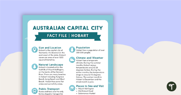
Natural and Human Features of Australia - Hobart Fact File
A beautifully designed and illustrated fact file explaining the natural and human features of Hobart.
- Plus Plan
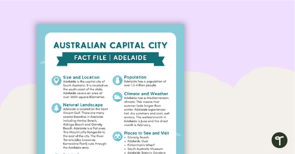
Natural and Human Features of Australia - Adelaide Fact File
A beautifully designed and illustrated fact file explaining the natural and human features of Adelaide.
- Plus Plan
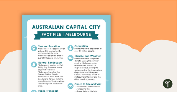
Natural and Human Features of Australia - Melbourne Fact File
A beautifully designed and illustrated fact file explaining the natural and human features of Melbourne.
- Plus Plan
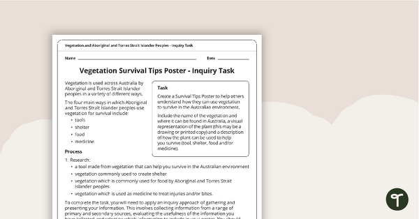
Survival Tips Inquiry Task
An inquiry-based assessment task for students to demonstrate their understanding of how vegetation is used across Australia by Aboriginal and Torres Strait Islander peoples in a variety of different ways.
- Plus Plan
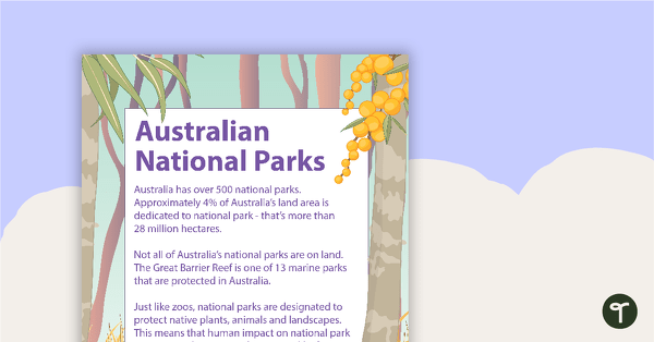
6 Australian National Parks Posters
A set of six posters with information about Australian National Parks, including how to care for them.
- Free Plan
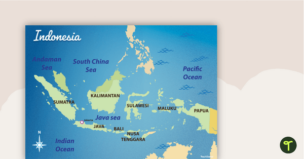
Map of Indonesia
Familiarise your students with Australia’s neighbouring countries with this detailed map of Indonesia.
- Free Plan
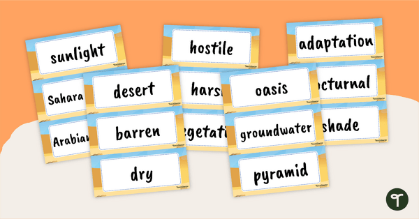
Desert Word Wall Vocabulary
Spark discussion and build academic vocabulary with a desert related vocabulary word wall.
- Plus Plan
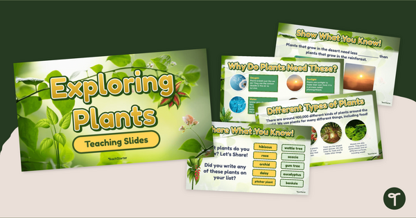
Exploring Plants PowerPoint
Explore the characteristics of plants in our environment with an interactive teaching slide presentation.
- Plus Plan
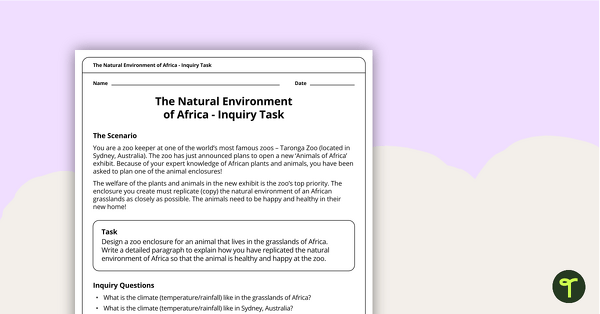
The Natural Environment of Africa - Inquiry Task
An inquiry task focusing on the natural environment of the grasslands of Africa.
- Plus Plan
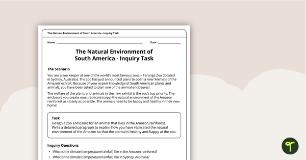
The Natural Environment of South America — Inquiry Task
An inquiry task focusing on the natural environment of the Amazon rainforest in South America.
- Plus Plan
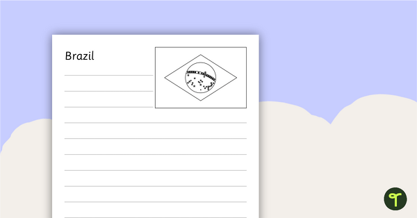
South American Flags Worksheets - BW
Fourteen black and white worksheets with flags from South America.
- Plus Plan
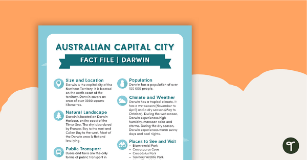
Natural and Human Features of Australia - Darwin Fact File
A beautifully designed and illustrated fact file explaining the natural and human features of Darwin.
- Plus Plan
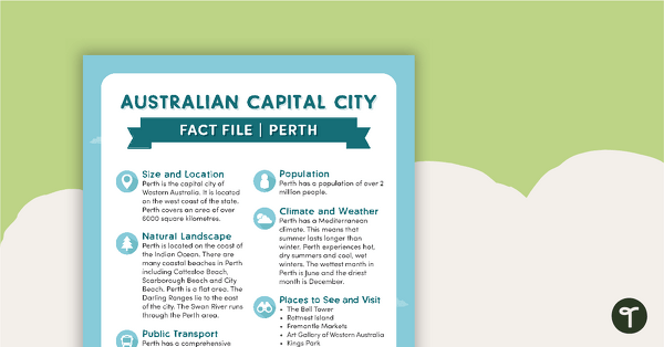
Natural and Human Features of Australia - Perth Fact File
A beautifully designed and illustrated fact file explaining the natural and human features of Perth.
- Plus Plan

Natural and Human Features of Australia - Capital City Fact Files (Complete Set)
8 beautifully designed and illustrated fact files explaining the natural and human features of Australia's capital cities.
- Plus Plan
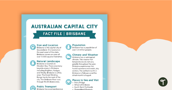
Natural and Human Features of Australia - Brisbane Fact File
A beautifully designed and illustrated fact file explaining the natural and human features of Brisbane.