Countries Teaching Resources for Year 5
- Plus Plan
Acclimatised Civilisations – Word Wall
Content-specific vocabulary cards for a word wall based on the Acclimatised Civilisations Geography resources.
- Plus Plan
Acclimatised Civilisations – Inquiry Project
A Geography inquiry investigation for students to research a civilisation and how they adapted to their environment and landscape.
- Plus Plan
Acclimatised Civilisations: Inuit Territories – Workbook
A workbook for students to use their investigation and mapping skills, while learning about civilisations in Inuit Territories.
- Plus Plan
Acclimatised Civilisations: Egypt – Workbook
A workbook for students to use their investigation and mapping skills, while learning about civilisations in Egypt.
- Plus Plan
Acclimatised Civilisations: Australia – Workbook
A workbook for students to use their investigation and mapping skills, while learning about civilisations in Australia.
- Plus Plan
Acclimatised Civilisations: India – Workbook
A workbook for students to use their investigation and mapping skills, while learning about civilisations in India.
- Plus Plan
Acclimatised Civilisations: Greece – Workbook
A workbook for students to use their investigation and mapping skills, while learning about civilisations in Greece.
- Plus Plan
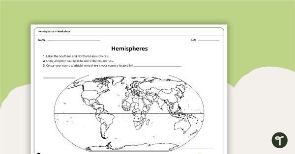
Hemispheres Worksheet
A worksheet highlighting the hemisphere, equator and country locations.
- Plus Plan
Acclimatised Civilisations: Andes Mountains – Workbook
A workbook for students to use their investigation and mapping skills, while learning about civilisations in the Andes Mountains.
- Plus Plan
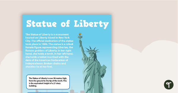
Seven US Landmarks Posters
A set of 7 posters highlighting some of the United States most famous Landmarks.
- Plus Plan
Acclimiatised Civilisations – Teaching Presentation
A Geography teaching presentation for students to learn about how different cultures adapted to different landscapes.
- Plus Plan
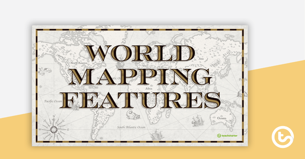
World Mapping Features – Teaching Presentation
An 18 slide PowerPoint presentation to use when teaching students about the main features of the world map.
- Plus Plan
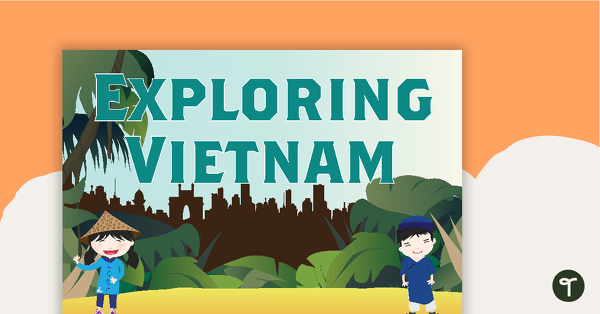
Exploring Vietnam Word Wall
Word wall cards containing Vietnam related vocabulary.
- Plus Plan
World Mapping Booklet – Worksheet
A workbook asking students knowledge about features on the world map.
- Plus Plan
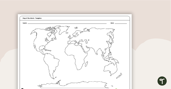
Map of the World Template
A blank map of the world to use during Geography lessons.
- Plus Plan
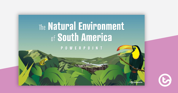
The Natural Environment of South America PowerPoint
A 17 slide editable PowerPoint template to use when introducing students to the climate, vegetation and animals of South America.
- Plus Plan
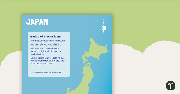
Japan Profile Poster Pack
A pack of 5 posters about Japan – suitable for your Geography or LOTE classroom.
- Plus Plan
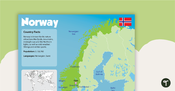
Norway Country Profile Poster
A poster about Norway – suitable for your Geography or LOTE classroom.
- Plus Plan
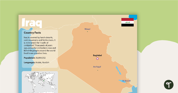
Iraq Country Profile Poster
A poster about Iraq – suitable for your Geography or LOTE classroom.
- Plus Plan
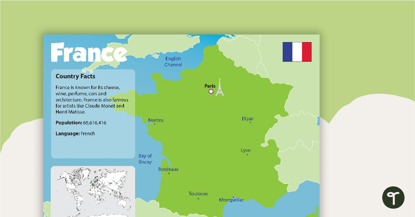
France Country Profile Poster
A poster about France – suitable for your Geography or LOTE classroom.
- Plus Plan
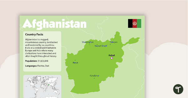
Afghanistan Country Profile Poster
A poster about Afghanistan – suitable for your Geography or LOTE classroom.
- Plus Plan
The Natural Environment of Africa PowerPoint
A 17 slide editable PowerPoint template to use when introducing students to the climate, vegetation and animals of Africa.
- Plus Plan
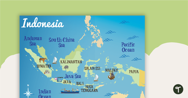
Indonesia Profile Poster Pack
A pack of 10 posters about Indonesia – suitable for your Geography or LOTE classroom.
- Plus Plan
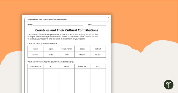
Countries and Their Cultural Contributions – Worksheet
An activity for students to research the cultural contributions from countries around the world.
- Plus Plan
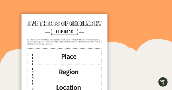
Geography Flip Book
A flip book to use when learning about geography.
- Plus Plan
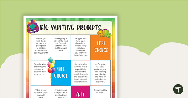
Rio Writing Prompts
10 Rio-themed writing prompts for the middle and upper primary.
- Plus Plan
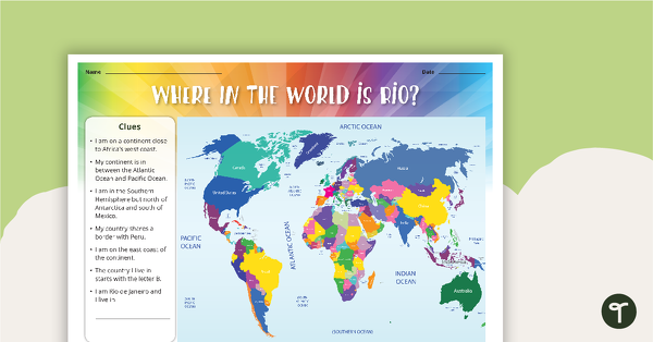
Where is Rio? - Worksheet
A set of two maps identifying the location of Rio.
- Plus Plan
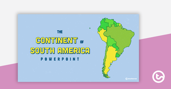
The Continent of South America PowerPoint
A 20 slide editable PowerPoint template to use when introducing students to the geographical features of South America.
- Plus Plan
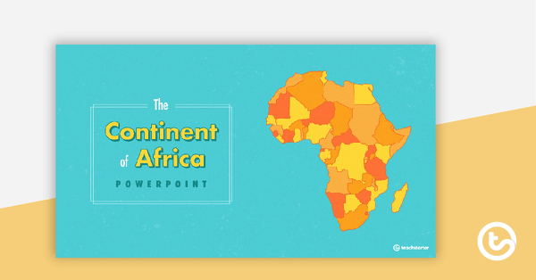
The Continent of Africa PowerPoint
A 20 slide editable PowerPoint template to use when introducing students to the geographical features of Africa.
- Plus Plan
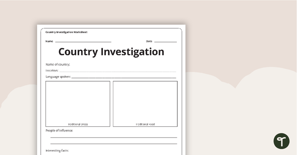
Country Investigation - Worksheet
A recording worksheet for students to use in the classroom when researching different countries and cultures.
- Plus Plan
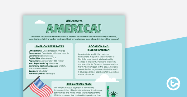
Welcome to America! – Worksheet
A comprehension worksheet for a country profile from the Year 5 magazine (Issue 2).
- Plus Plan
Exploring Papua New Guinea Word Wall Vocabulary
Word wall cards containing Papua New Guinea related vocabulary.