Maps Teaching Resources for Key Stage 2 - Lower
- Plus Plan
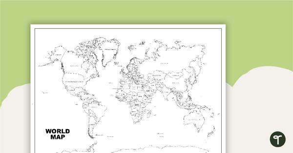
World Map (Black and White Version)
Black and white world map showing countries, oceans and seas.
- Plus Plan
Acclimatised Civilisations – Word Wall
Content-specific vocabulary cards for a word wall based on the Acclimatised Civilisations Geography resources.
- Plus Plan
Acclimatised Civilisations: Inuit Territories – Workbook
A workbook for students to use their investigation and mapping skills, while learning about civilisations in Inuit Territories.
- Plus Plan
Acclimatised Civilisations: Egypt – Workbook
A workbook for students to use their investigation and mapping skills, while learning about civilisations in Egypt.
- Plus Plan
Acclimatised Civilisations: Australia – Workbook
A workbook for students to use their investigation and mapping skills, while learning about civilisations in Australia.
- Plus Plan
Acclimatised Civilisations: India – Workbook
A workbook for students to use their investigation and mapping skills, while learning about civilisations in India.
- Plus Plan
Acclimatised Civilisations: Greece – Workbook
A workbook for students to use their investigation and mapping skills, while learning about civilisations in Greece.
- Plus Plan
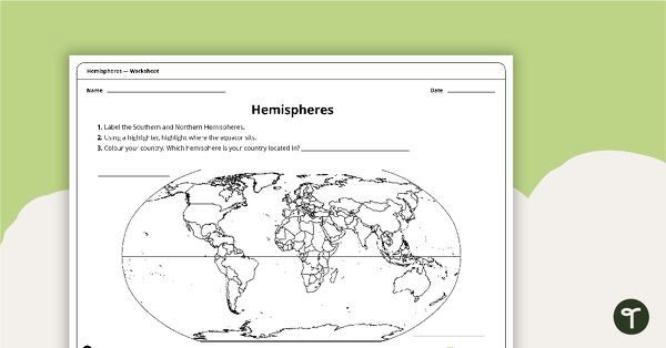
Hemispheres Worksheet
A worksheet highlighting the hemisphere, equator and country locations.
- Plus Plan
Acclimatised Civilisations: Andes Mountains – Workbook
A workbook for students to use their investigation and mapping skills, while learning about civilisations in the Andes Mountains.
- Plus Plan
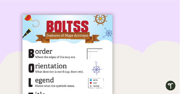
Features of Maps Posters
A set of 2 posters outlining the features of a map.
- Plus Plan
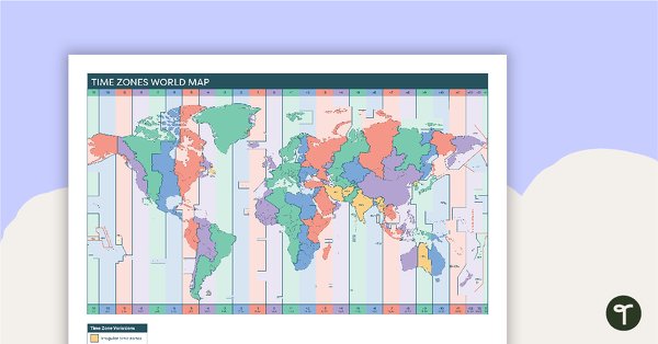
Time Zones World Map
A poster to display in the classroom when locating the different time zones of the world.
- Plus Plan
World Mapping Features – Teaching Presentation
An 18 slide PowerPoint presentation to use when teaching students about the main features of the world map.
- Plus Plan
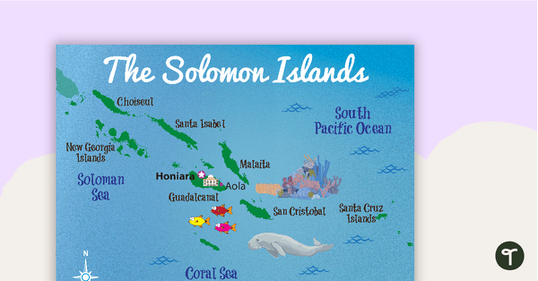
Map of The Solomon Islands
A map showing the layout and major cities in The Solomon Islands.
- Plus Plan
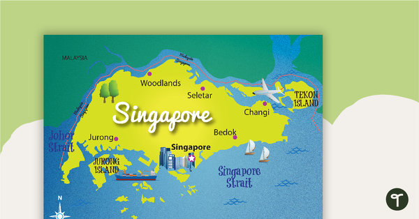
Map of Singapore
A map showing the layout and major cities in Singapore.
- Plus Plan
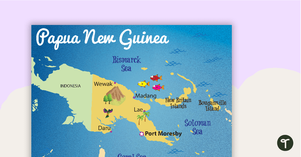
Map of Papua New Guinea
A map showing the layout and major cities in Papua New Guinea.
- Plus Plan
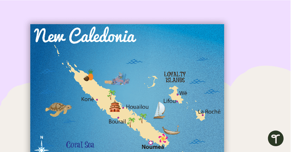
Map of New Caledonia
A map showing the layout and major cities in New Caledonia.
- Plus Plan
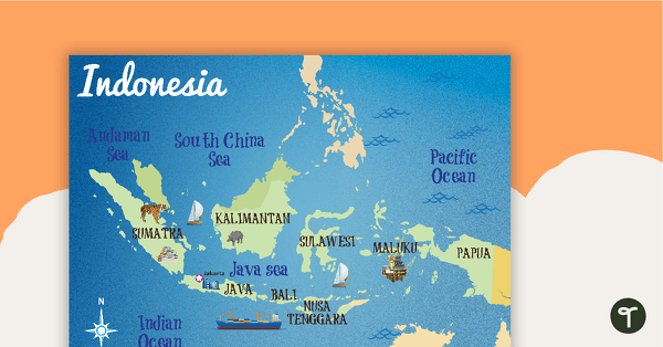
Map of Indonesia
A map showing the layout and major cities in Indonesia.
- Plus Plan
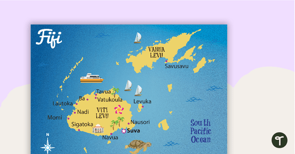
Map of Fiji
A map showing the layout and major cities in Fiji.
- Plus Plan
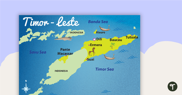
Map of Timor-Leste
A map showing the layout and major cities in Timor-Leste.
- Plus Plan
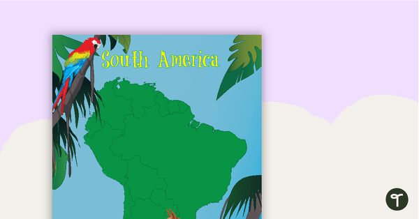
Map of South America with Animals
A map of South America showing the shape of the country and some of its native animals.
- Plus Plan
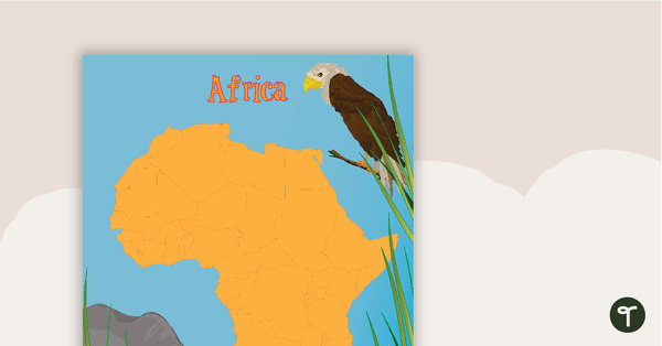
Map of Africa with Animals
A map of Africa showing the shape of the country and some of its native animals.
- Plus Plan
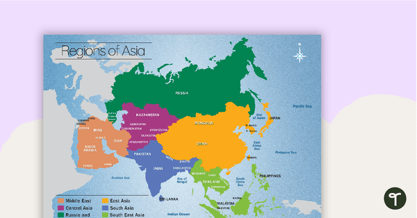
Map of the Regions of Asia
A map showing the layout, regions and major countries of Asia.
- Plus Plan
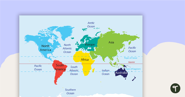
Map of the World Puzzle
A map puzzle with continents and oceans to introduce students to world geography.
- Plus Plan
World Mapping Booklet – Worksheet
A workbook asking students knowledge about features on the world map.
- Plus Plan
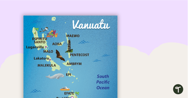
Map of Vanuatu
A map showing the layout and major cities in Vanuatu.
- Plus Plan
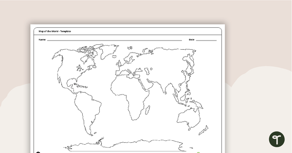
Map of the World Template
A blank map of the world to use during Geography lessons.
- Plus Plan
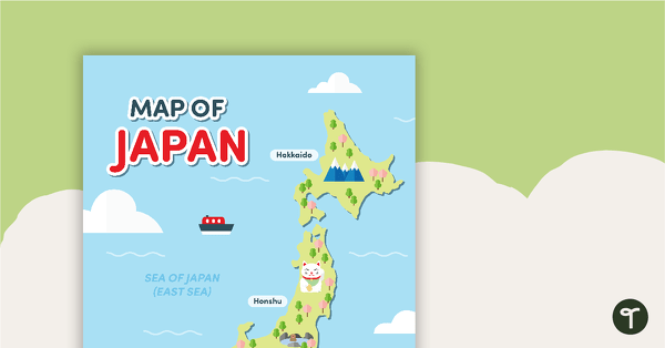
Map of Japan
A map of Japan featuring the names of the main islands and well-known landmarks.
- Plus Plan
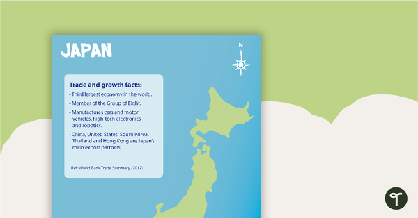
Japan Profile Poster Pack
A pack of 5 posters about Japan – suitable for your Geography or LOTE classroom.
- Plus Plan
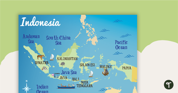
Indonesia Profile Poster Pack
A pack of 10 posters about Indonesia – suitable for your Geography or LOTE classroom.
- Plus Plan
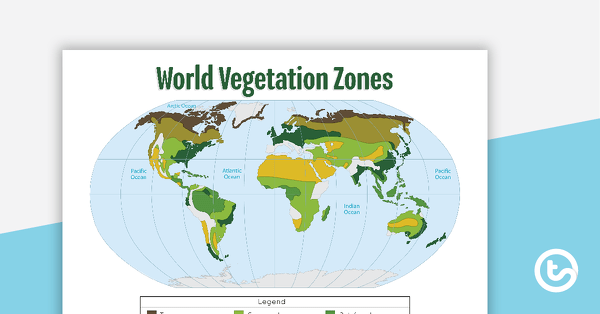
Map of the World's Vegetation Zones
A poster to display in the classroom when locating the different vegetation zones of the world.
- Plus Plan
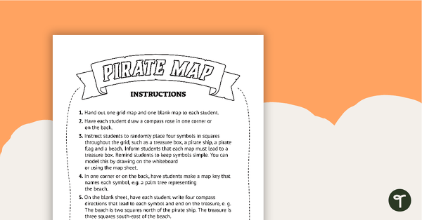
Pirate Mapping Skills Worksheet
A worksheet to use when learning about basic mapping skills.
- Plus Plan
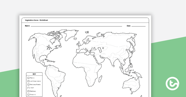
Vegetation Zones Mapping Template
A 1 page worksheet for students to use when learning about different vegetation zones around the world.