Maps Teaching Resources for Year 2
- Plus Plan
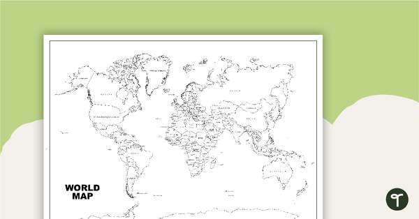
World Map (Black and White Version)
Black and white world map showing countries, oceans and seas.
- Plus Plan
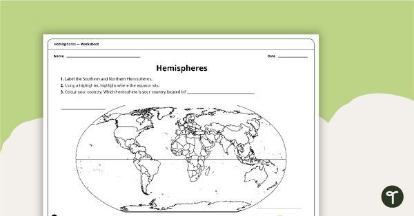
Hemispheres Worksheet
A worksheet highlighting the hemisphere, equator and country locations.
- Plus Plan
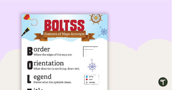
Features of Maps Posters
A set of 2 posters outlining the features of a map.
- Plus Plan
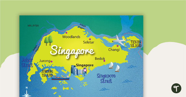
Map of Singapore
A map showing the layout and major cities in Singapore.
- Plus Plan
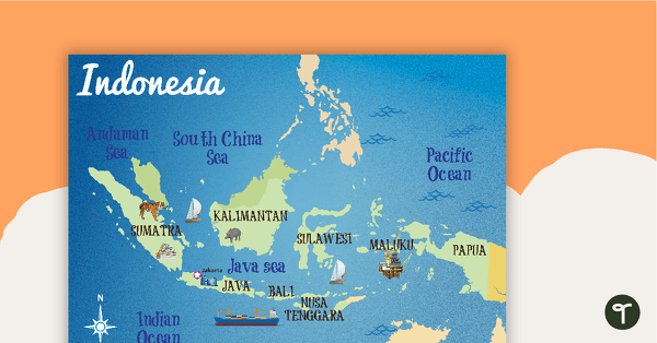
Map of Indonesia
A map showing the layout and major cities in Indonesia.
- Plus Plan
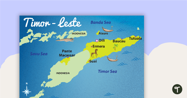
Map of Timor-Leste
A map showing the layout and major cities in Timor-Leste.
- Plus Plan
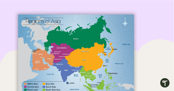
Map of the Regions of Asia
A map showing the layout, regions and major countries of Asia.
- Plus Plan
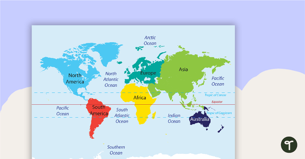
Map of the World Puzzle
A map puzzle with continents and oceans to introduce students to world geography.
- Plus Plan
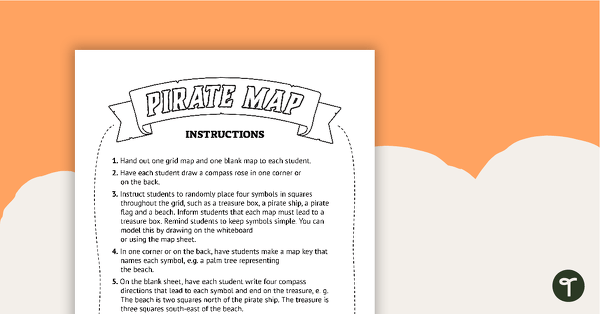
Pirate Mapping Skills Worksheet
A worksheet to use when learning about basic mapping skills.
- Plus Plan
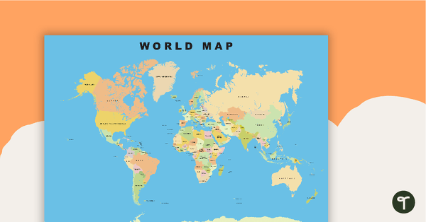
World Map
Show your students the map of the world with countries and bodies of water.
- Plus Plan
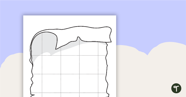
Blank Pirate Map Templates
Three blank map templates.
- Plus Plan
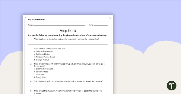
Giant Colouring Sheet – Community Map Skills Worksheet
An activity to practise map skills using a giant map of a community.
- Plus Plan
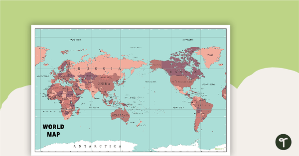
World Map Poster
An extensive map of the world.
- Plus Plan
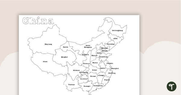
Map of China - BW
A map showing the regions of China.
- Plus Plan
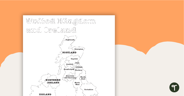
Map of the United Kingdom and Ireland - BW
A map showing the regions of the United Kingdom and Ireland.
- Plus Plan
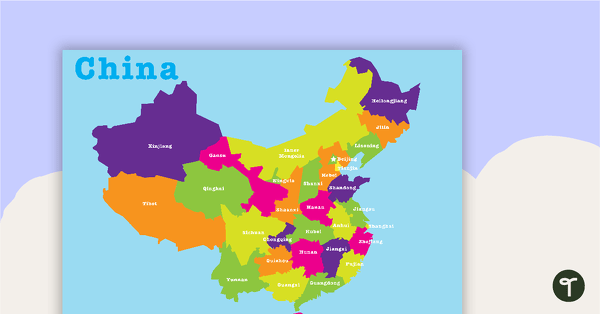
Map of China
A map showing the regions of China.
- Plus Plan
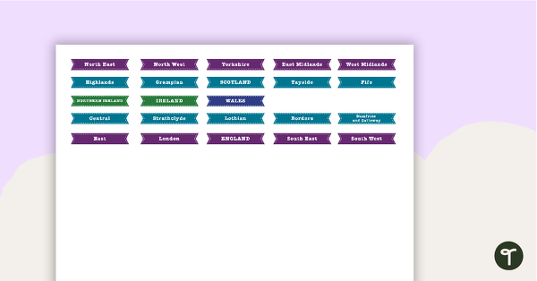
Map of The United Kingdom and Ireland Puzzle
A map puzzle containing basic locations to introduce students to the regions of the United Kingdom and Ireland.
- Plus Plan
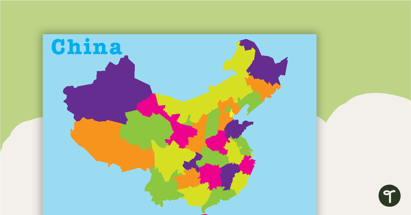
Map of China Puzzle
A map puzzle containing basic locations to introduce students to the regions of China.
- Plus Plan
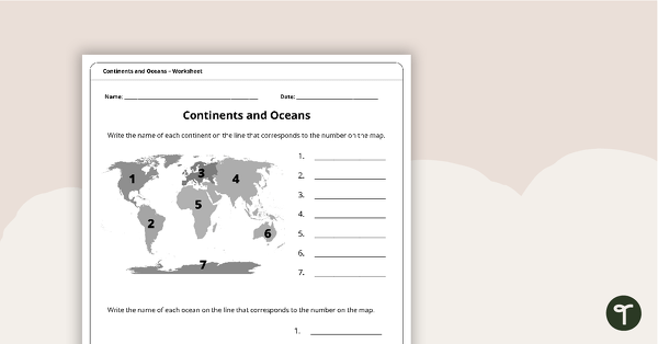
Continents and Oceans Worksheet
A worksheet to practise identifying the 7 continents and 5 oceans.