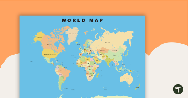
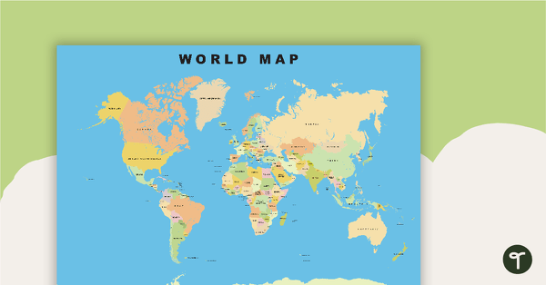
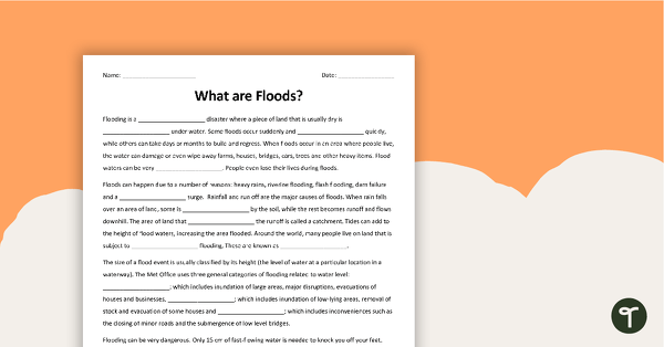
Show your students the map of the world with countries and bodies of water.
This download includes 2 versions of a world map for geography lessons and more!
Page 1 is a standard world map with all countries, oceans, and seas. Page 2 is a globe format with latitude and longitude lines.
A Variety of Ways to Use World Maps
This download can be used in a multitude of ways! Use it to support activities related to your:
- Art projects
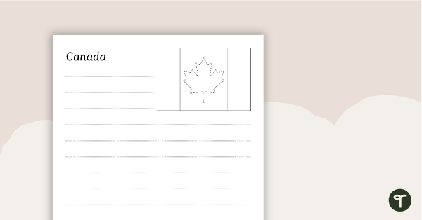
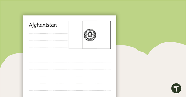
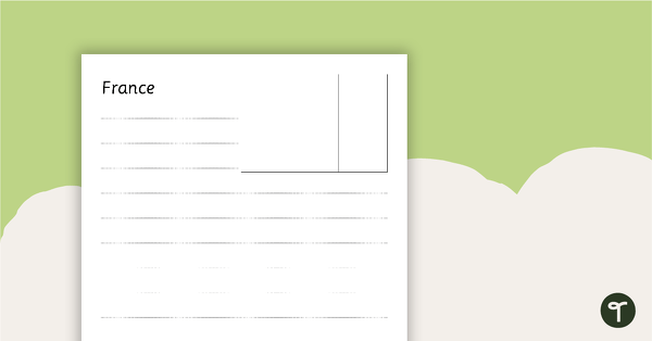
- Geography curricula
- Ecosystems and weather projects
- Map interpretation assignments
- World history review
And more! In fact, we love for you to share your creativity with us on social media:
Instagram / Facebook / Twitter
Easily Prepare This Resource for Your Students
Print maps on cardstock for added durability, and slip them into dry-erase sleeves.
Before You Download
Use the dropdown icon on the Download button to choose between the PDF or Google Slides version of this resource.
Map by vectorworldmap.com
Don’t Stop There
Map out your lesson plans with these map teaching resources!
[resource:4683635] [resource:4472603] [resource:4681602]


0 Comments
Write a review to help other teachers and parents like yourself. If you'd like to request a change to this resource, or report an error, select the corresponding tab above.