teaching resource

Features of Maps Posters

  • Updated

    Updated:  07 Dec 2016

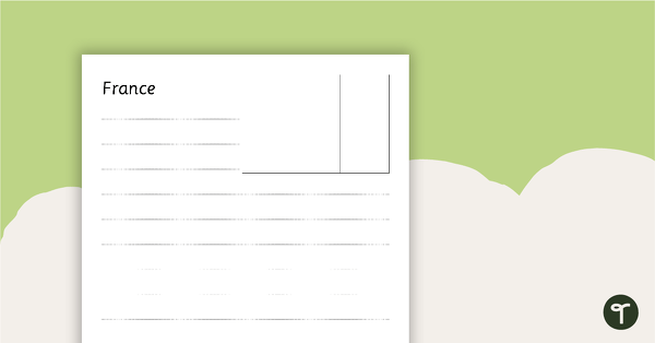
A set of 2 posters outlining the features of a map.

  • Non-Editable

    Non-Editable:  PDF

  • Pages

    Pages:  2 Pages

  • Curriculum
  • Years

    Years:  1 - 6

Curriculum

  • Geography

    Pupils should develop knowledge about the world, the United Kingdom and their locality. They should understand basic subject-specific vocabulary relating to human and physical geography and begin to use geographical skills, including first-hand obser...

  • Geography

    Pupils should extend their knowledge and understanding beyond the local area to include the United Kingdom and Europe, North and South America. This will include the location and characteristics of a range of the world's most significant human and ...

  • Geography

    Pupils should extend their knowledge and understanding beyond the local area to include the United Kingdom and Europe, North and South America. This will include the location and characteristics of a range of the world's most significant human and ...

teaching resource

Features of Maps Posters

  • Updated

    Updated:  07 Dec 2016

A set of 2 posters outlining the features of a map.

  • Non-Editable

    Non-Editable:  PDF

  • Pages

    Pages:  2 Pages

  • Curriculum
  • Years

    Years:  1 - 6

A set of 2 posters outlining the features of a map.

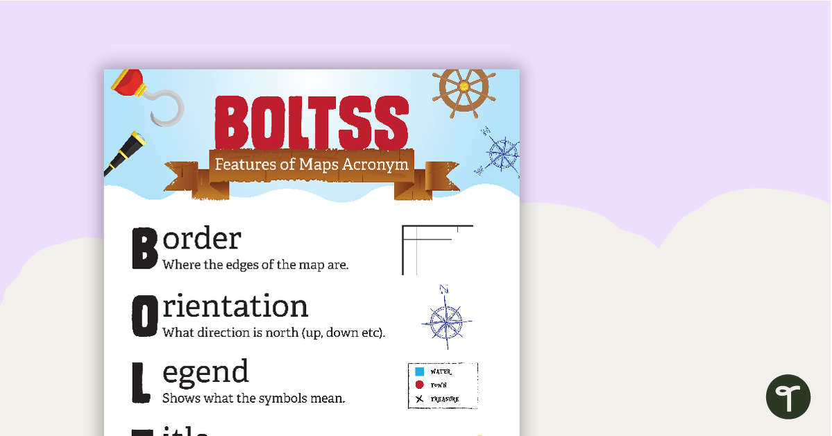
This set of 2 teaching posters outlines the features of a map using the acronym BOLTSS.

  • Border – where the edges of the map are.
  • Orientation – what direction is north (up, down etc).
  • Legend – shows what the symbols mean.
  • Title – describes the map.
  • Scale – how big is the actual distance compared to the map?
  • Source – who made the map?

You may also like these resources:
0 Comments

Write a review to help other teachers and parents like yourself. If you'd like to request a change to this resource, or report an error, select the corresponding tab above.

Log in to comment

You may also like