Maps Teaching Resources for 2nd Grade
- Plus Plan
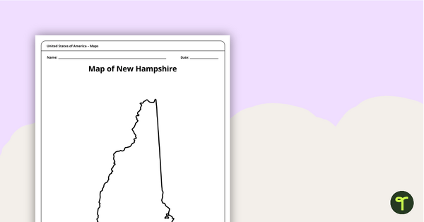
Map of New Hampshire Template
A blank map of New Hampshire to use during Geography lessons.
- Plus Plan
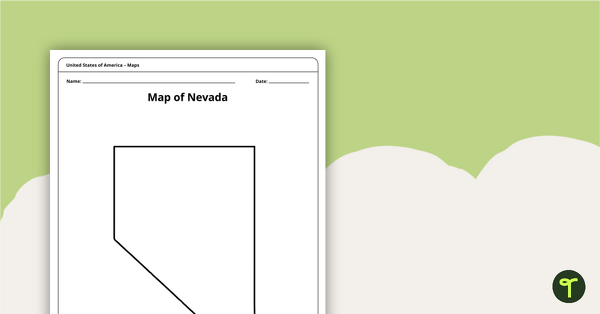
Map of Nevada Template
A blank map of Nevada to use during Geography lessons.
- Plus Plan
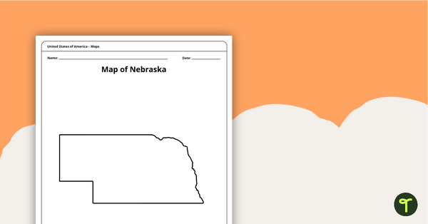
Map of Nebraska Template
A blank map of Nebraska to use during Geography lessons.
- Plus Plan
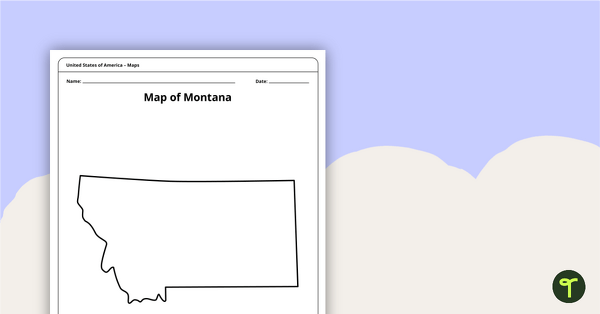
Blank Map of Montana Template
A blank map of Montana to use during Geography lessons.
- Plus Plan
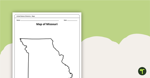
Map of Missouri Template
A blank map of Missouri to use during Geography lessons.
- Plus Plan
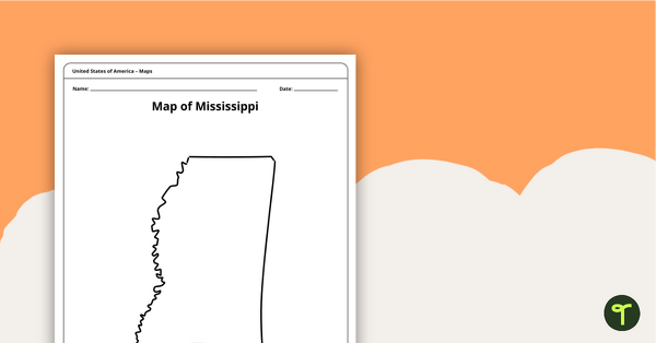
Map of Mississippi Template
A blank map of Mississippi to use during Geography lessons.
- Plus Plan
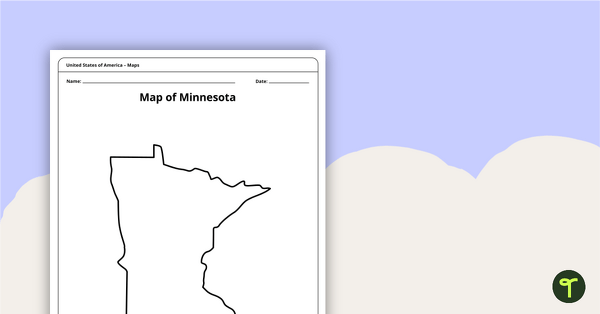
Map of Minnesota Template
A blank map of Minnesota to use during Geography lessons.
- Plus Plan
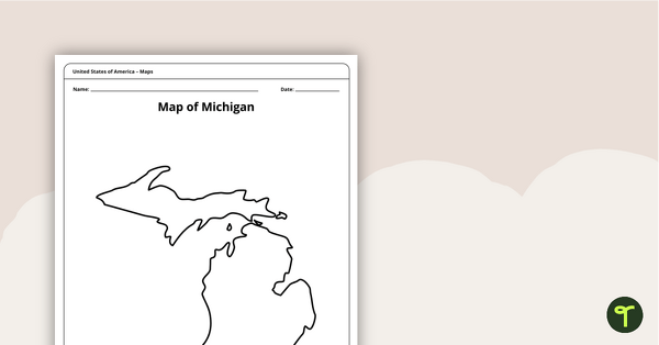
Map of Michigan Template
A blank map of Michigan to use during Geography lessons.
- Plus Plan
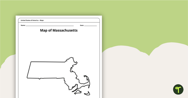
Map of Massachusetts Template
A blank map of Massachusetts to use during Geography lessons.
- Plus Plan
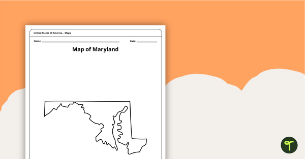
Map of Maryland Template
A blank map of Maryland to use during Geography lessons.
- Plus Plan
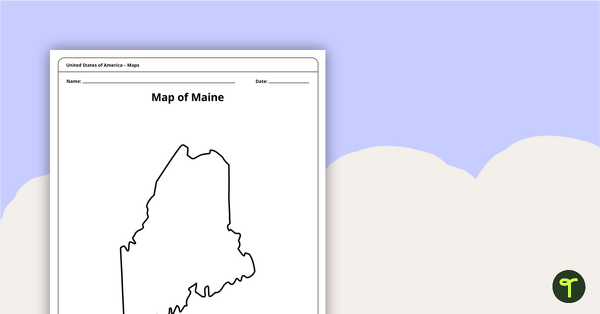
Map of Maine Template
A blank map of Maine to use during Geography lessons.
- Plus Plan
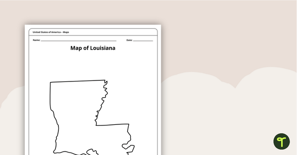
Map of Louisiana Template
A blank map of Louisiana to use during Geography lessons.
- Plus Plan
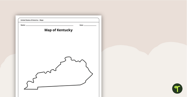
Map of Kentucky Template
A blank map of Kentucky to use during Geography lessons.
- Plus Plan
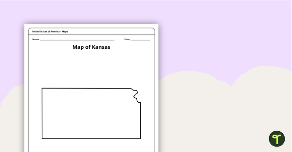
Blank Map of Kansas Template
A blank map of Kansas to use during Geography lessons.
- Plus Plan

Map of Iowa Template
A blank map of Iowa to use during Geography lessons.
- Plus Plan
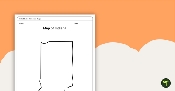
Map of Indiana Template
A blank map of Indiana to use during Geography lessons.
- Plus Plan
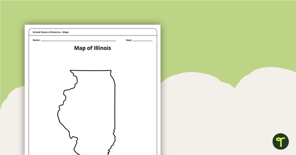
Illinois Outline - Blank Map
Use a blank outline of the state of Illinois to kick off your state Geography lessons.
- Plus Plan
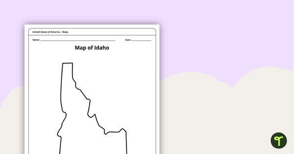
Map of Idaho Template
A blank map of Idaho to use during Geography lessons.
- Plus Plan
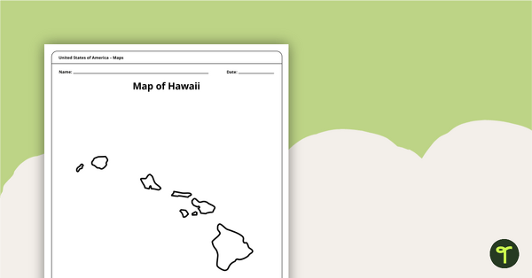
Map of Hawaii Template
A blank map of Hawaii to use during Geography lessons.
- Plus Plan
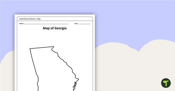
Map of Georgia Template
Download a blank Georgia map for the classroom. The printable PDF for teachers is perfect for student research projects and map skills lessons.
- Plus Plan
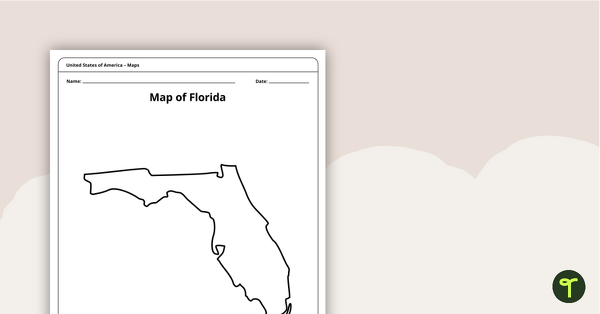
Map of Florida Template
A blank map of Florida to use during Geography lessons.
- Plus Plan
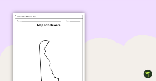
Map of Delaware Template
A blank map of Delaware to use during Geography lessons.
- Plus Plan
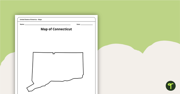
Map of Connecticut Template
A blank map of Connecticut to use during Geography lessons.
- Plus Plan
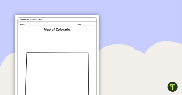
Map of Colorado Template
A blank map of Colorado to use during Geography lessons.
- Plus Plan
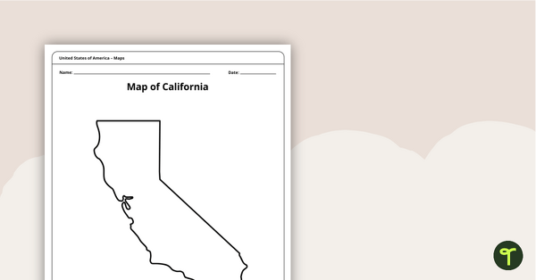
Blank Map of California Template
A blank map of California to use during Geography lessons.
- Plus Plan
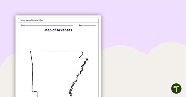
Map of Arkansas Template
A blank map of Arkansas to use during Geography lessons.
- Plus Plan
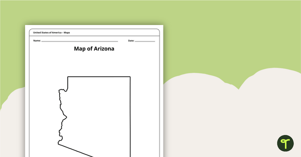
Map of Arizona Template
A blank map of Arizona to use during Geography lessons.
- Plus Plan
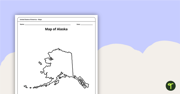
Printable Map of Alaska - Outline
Print an Alaska state map outline to jump-start your students into state research projects.
- Plus Plan
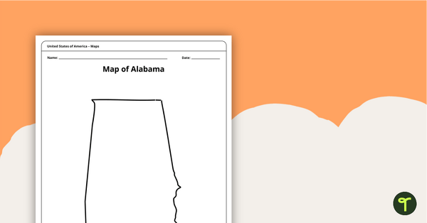
Alabama State Map Template
Download a blank map of Alabama for the classroom. The printable PDF is perfect for student research projects and map skills lessons.
- Plus Plan
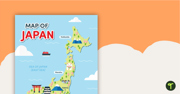
Map of Japan
A map of Japan featuring the names of the main islands and well-known landmarks.
- Plus Plan
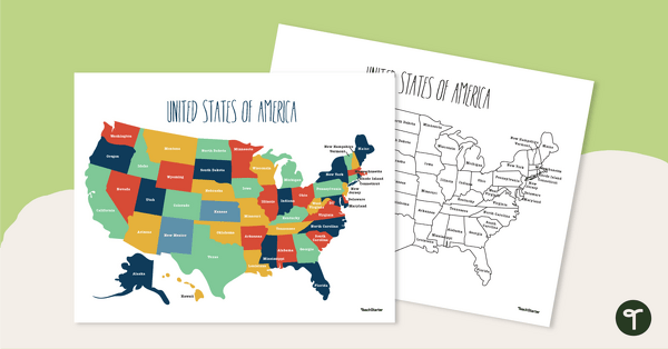
Labeled Map of the United States
Teach your students about the geography of the United States of America with this detailed map.
- Plus Plan
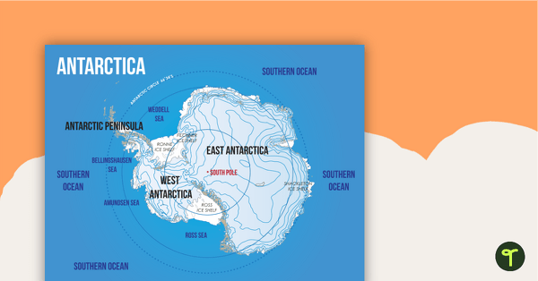
Map of Antarctica
A map showing the layout and major features of Antarctica.