Geography Teaching Resources
Have you been searching the world (wide web) for printable US and world geography worksheets and digital teaching resources this school year? Get ready to dive into a collection of curriculum-aligned resources created by teachers and rigorously reviewed by the expert teachers on the Teach Starter team!
Meet Common Core and state-level standards with printable and digital resources designed with your lesson plans and students in mind.
Our geography resource collection takes kids of all ages on an educational journey that includes key geographic concepts such as learning cardinal directions, understanding the difference between longitude and latitude, and how to identify the 7 continents, and the 5 oceans. With fun puzzles, map skill worksheets, and teacher created-student-approved resources, students will quickly learn to embrace the world around them with our geography printables.
Geography for Kids Teaching Resources
This collection includes a large selection of map skill resources such as:
- printable world map
- free map skills worksheets
- geography board games
- assessment pieces
- free geography brochure templates
- comprehension texts
- coordinate grid worksheets
- and more!
Within this geography category, you will also find resources that support the teaching of the sub-strands, which includes:
- countries
- environments
- flags
- world landmarks
- reading and labeling maps
- me-on-the-map activities
- landform identification activities
- Free Plan
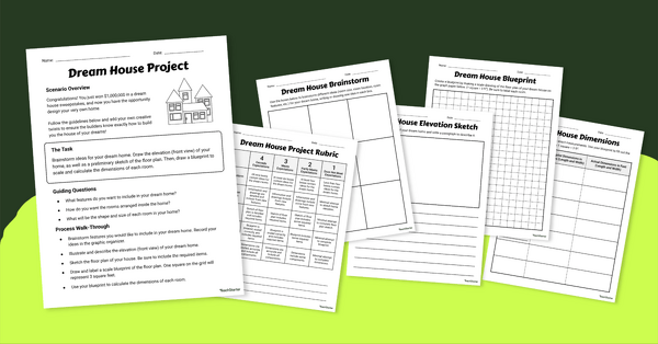
Math Dream House Project
Introduce this math dream house project to your students to help them increase spatial skills while designing the home of their dreams!
- Free Plan
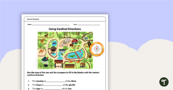
Free Map Skills Worksheet- Using Cardinal Directions
A worksheet to practice using cardinal directions.
- Free Plan
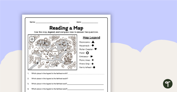
Reading a Map Worksheet
Develop elementary grade map skills with a map-reading worksheet.
- Free Plan

Free U.S. Mountains, Rivers, and Land Features Worksheet
Apply knowledge of the major U.S. land features, mountains, and rivers with a map labeling worksheet.
- Free Plan
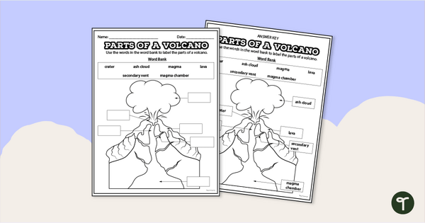
Diagram of a Volcano - Labeling Worksheet
Label the diagram of a volcano with a printable volcano worksheet.
- Free Plan

Labeling the Continents and Oceans Worksheets
Turn geography into a fun and educational learning experience by using our free Continents and Oceans worksheets!
- Plus Plan
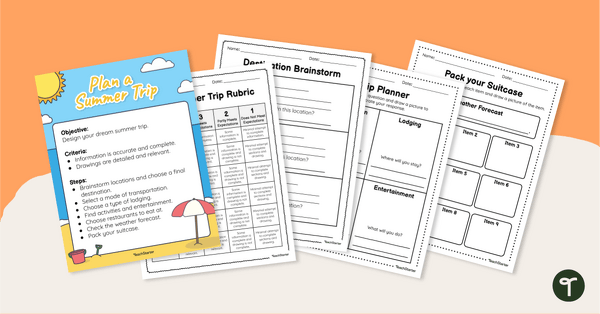
Plan Your Dream Vacation PDF / Slides Project
Prepare for a summer vacation with an end-of-the-year STEM activity.
- Free Plan
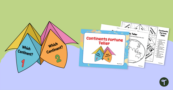
7 Continents Fortune Teller
Use this Continents of the World fortune teller and summary sheet as a fun geography review activity.
- Free Plan
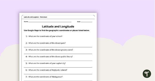
Latitude and Longitude Worksheet
Use this free latitude and longitude worksheet along with Google Maps to teach your students about longitude and latitude.
- Plus Plan
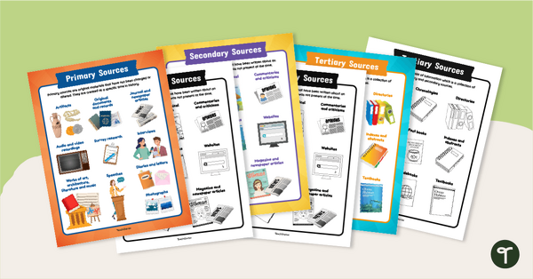
Primary, Secondary & Tertiary Sources Poster Pack
Introduce your students to examples of primary, secondary, and tertiary sources of information with a printable set of anchor charts.
- Plus Plan
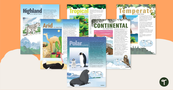
Climate Zones of the World – Poster Pack
Learn about different climate types with this set of 6 printable posters.
- Plus Plan
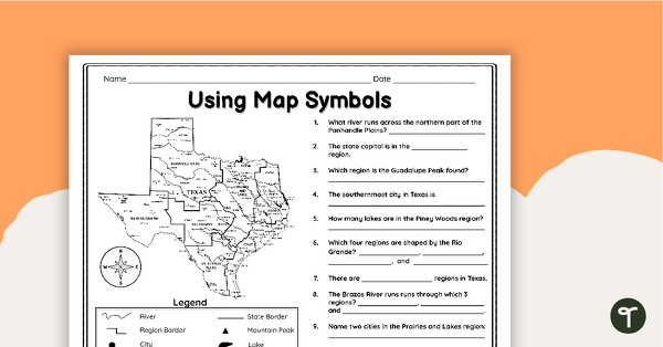
Texas Map Symbols Worksheet
Use a map key and symbols to identify and name land features, cities, and regions of Texas with a worksheet.
- Plus Plan

Google Interactive - Regions of the United States
Practice identifying states in the five regions of the United States with a Google Interactive activity.
- Plus Plan
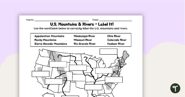
U.S. Mountains and Rivers Worksheets
Locate rivers and mountains on a U.S. physical map with two labeling worksheets.
- Free Plan
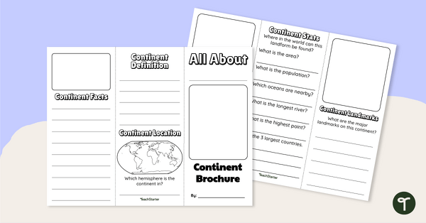
World Continents Brochure Template
Replace your continents worksheets with a printable continents brochure project.
- Free Plan

Landforms of the World - Brochure Template
Add to your bank of landform project ideas with a free Landform Research Brochure.
- Plus Plan
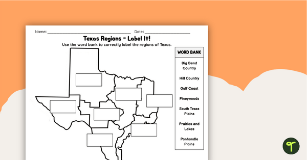
Labeling Texas Regions Worksheet
Supplement your Texas Social Studies curriculum with a region of Texas map labeling worksheet.
- Plus Plan
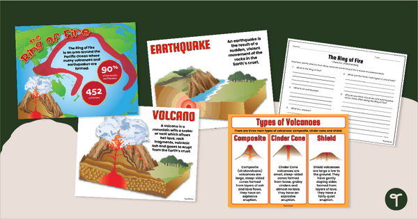
The Ring of Fire Poster and Worksheet Pack
Learn all about earthquakes and volcanoes with a printable Ring of Fire Worksheet and Poster Pack.
- Free Plan
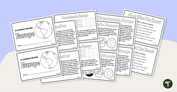
The Continent of Europe - Mini-Book
Explore the wonders and delights of the continent of Europe with this informative printable mini-book.
- Plus Plan
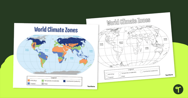
Climate Zone Map — Printable Classroom Resource
Print a climate zone map for the classroom to support lessons about the 6 climate types.
- Plus Plan

Blank Map of Europe Template (Printable & Digital)
Get a printable & digital blank map of Europe for your continent and oceans lessons!
- Plus Plan
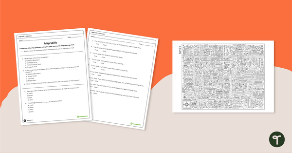
Community Giant Coloring Page and Map Skills Worksheet
An activity to practice map skills using a giant map of a community.
- Plus Plan
Map of the World - Labeling Activity
Discover and label the world's continents and oceans with this blank map of the world.
- Plus Plan
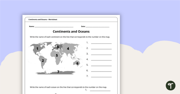
Continents and Oceans Worksheet
A worksheet to practice identifying the 7 continents and 5 oceans.
- Plus Plan
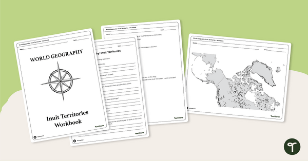
Geography of the Inuit - Canada Territories Worksheets
A workbook for students to use their investigation and map while learning about civilizations in Inuit Territories.
- Plus Plan
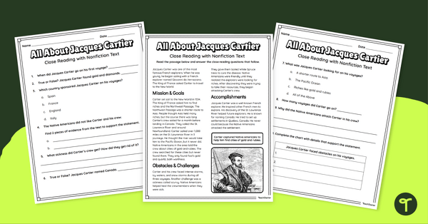
Jacques Cartier Comprehension Worksheets
Travel back in time to the Age of Exploration with a look into the life and accomplishments of Jacques Cartier.
- Plus Plan

U.S. Mountains and Rivers - Student Research Workbook
Research and write about the different major mountains, rivers, and land features in the United States with a printable workbook.
- Plus Plan
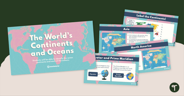
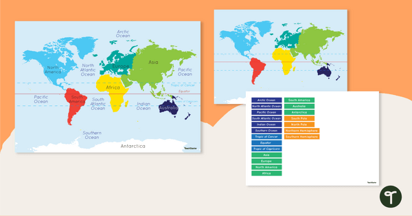
The World's Continents and Oceans Instructional Slide Deck
Explore the seven continents and five oceans of the world with this comprehensive teaching presentation.
- Plus Plan
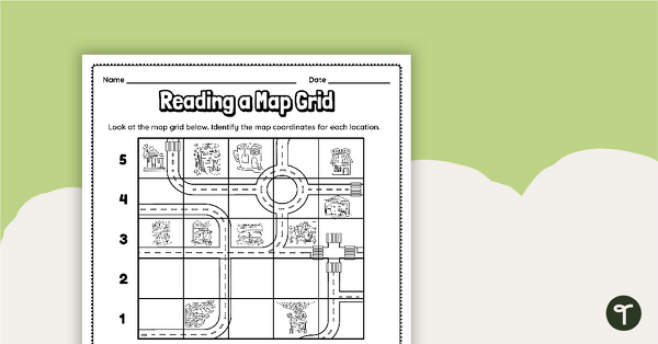
Reading a Map Grid Worksheet
Develop elementary grade map skills with a coordinate grid worksheet.
- Plus Plan

13 Colonies Map Labeling Worksheet
Locate and identify the 13 original colonies of the United States with a map labeling worksheet.
- Plus Plan
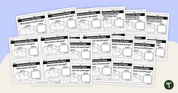
World Continents and Oceans Exit Tickets
Determine your students' mastery of Geography concepts with a set of twenty continents and oceans exit tickets.
- Plus Plan
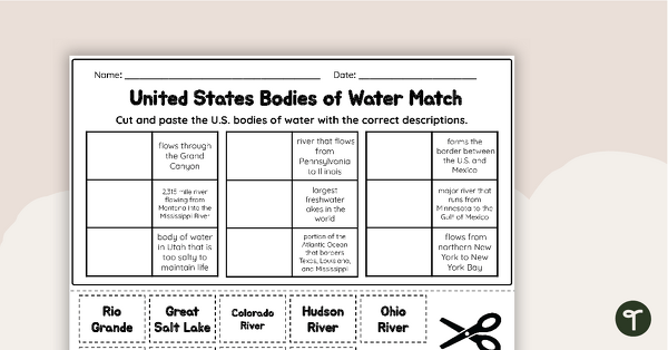
U.S. Geographic Features - Bodies of Water Worksheet
With this worksheet, students will understand reflexive pronouns and how they are used in sentences.