Geography Teaching Resources for 4th Grade
- Free Plan

Free U.S. Mountains, Rivers, and Land Features Worksheet
Apply knowledge of the major U.S. land features, mountains, and rivers with a map labeling worksheet.
- Plus Plan
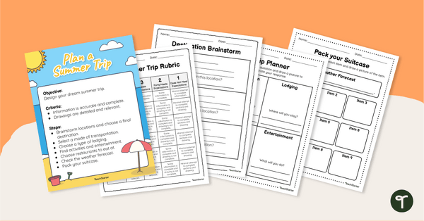
Plan Your Dream Vacation PDF / Slides Project
Prepare for a summer vacation with an end-of-the-year STEM activity.
- Free Plan
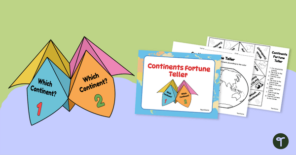
7 Continents Fortune Teller
Use this Continents of the World fortune teller and summary sheet as a fun geography review activity.
- Free Plan
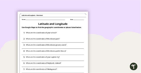
Latitude and Longitude Worksheet
Use this free latitude and longitude worksheet along with Google Maps to teach your students about longitude and latitude.
- Plus Plan
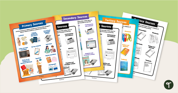
Primary, Secondary & Tertiary Sources Poster Pack
Introduce your students to examples of primary, secondary, and tertiary sources of information with a printable set of anchor charts.
- Plus Plan
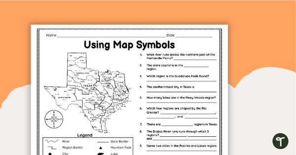
Texas Map Symbols Worksheet
Use a map key and symbols to identify and name land features, cities, and regions of Texas with a worksheet.
- Plus Plan

Google Interactive - Regions of the United States
Practice identifying states in the five regions of the United States with a Google Interactive activity.
- Free Plan

Landforms of the World - Brochure Template
Add to your bank of landform project ideas with a free Landform Research Brochure.
- Plus Plan
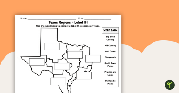
Labeling Texas Regions Worksheet
Supplement your Texas Social Studies curriculum with a region of Texas map labeling worksheet.
- Plus Plan
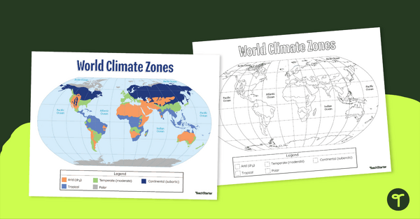
Climate Zone Map — Printable Classroom Resource
Print a climate zone map for the classroom to support lessons about the 6 climate types.
- Plus Plan

Blank Map of Europe Template (Printable & Digital)
Get a printable & digital blank map of Europe for your continent and oceans lessons!
- Plus Plan
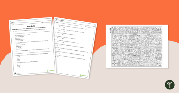
Community Giant Coloring Page and Map Skills Worksheet
An activity to practice map skills using a giant map of a community.
- Plus Plan
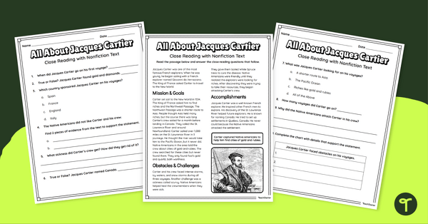
Jacques Cartier Comprehension Worksheets
Travel back in time to the Age of Exploration with a look into the life and accomplishments of Jacques Cartier.
- Plus Plan

U.S. Mountains and Rivers - Student Research Workbook
Research and write about the different major mountains, rivers, and land features in the United States with a printable workbook.
- Plus Plan

13 Colonies Map Labeling Worksheet
Locate and identify the 13 original colonies of the United States with a map labeling worksheet.
- Plus Plan
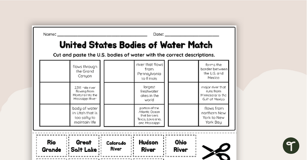
U.S. Geographic Features - Bodies of Water Worksheet
With this worksheet, students will understand reflexive pronouns and how they are used in sentences.
- Plus Plan
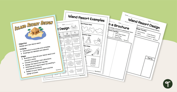
End of Year - Island Resort Design Project
Create and design your own Island Resort with a fun end of year art and STEM project for elementary students.
- Free Plan
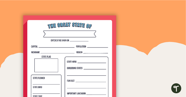
The Great State Of... State Research Template
A free template for students to identify important aspects of their state.
- Free Plan
Geography Flip Book
A flip book to use when learning about geography.
- Plus Plan

Blank Map of the World
Teach your students about the world’s seven continents and five oceans with this blank map of the world for labeling.
- Plus Plan
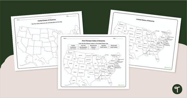
Printable United States Map Worksheets - 13 Colonies and 50 States
Download these printable United States Map Worksheets when learning about the first thirteen states of America and all fifty states.
- Free Plan
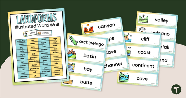
Illustrated Landform Vocabulary Word Wall
Show your students examples of different landforms with a set of printable Landform word and picture cards.
- Plus Plan
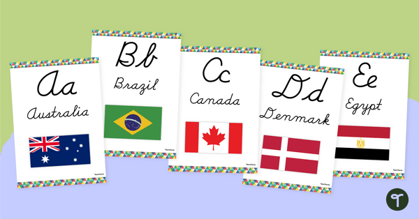
Flags of the World - Classroom Alphabet Line
Display the alphabet in print or cursive with a unique Flags of the World Alphabet Line.
- Plus Plan

Map of Washington With Counties and Capital
Download the best printable map of Washington state, including capital city and county lines, for your geography lessons.
- Plus Plan
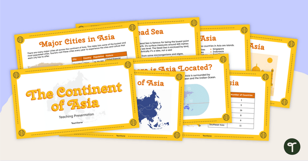
The Continent of Asia - Teaching Presentation
Familiarize your students with the physical and human geography of Asia with this comprehensive instructional slide deck.
- Plus Plan
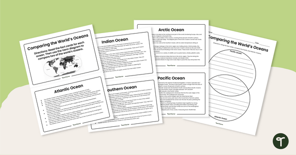
The World's Oceans - Compare and Contrast Activity
Compare and contrast the world’s five oceans with this set of information cards and Venn diagram template.
- Plus Plan
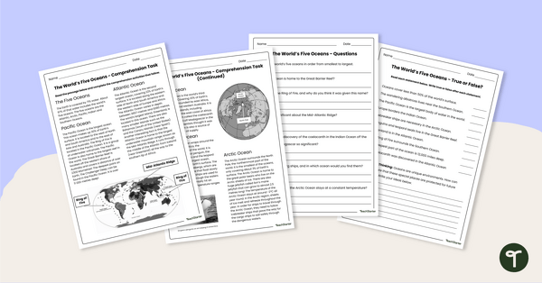
The World's Oceans - Comprehension Worksheet
Explore the world’s five oceans with this detailed comprehension passage and related questions.
- Plus Plan
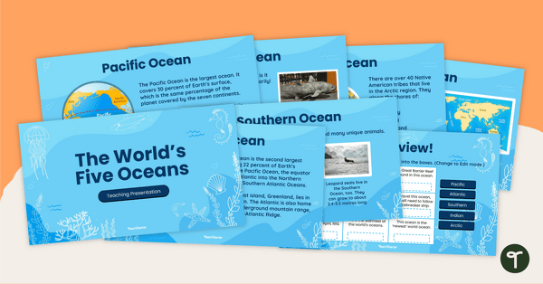
The World's Five Oceans - Instructional Slide Deck
Explore the world’s five oceans with this comprehensive slide deck.
- Plus Plan

Blank Map of North America
Grab a blank map of North America created by teachers for your lesson plans. Available in Google Slides or as a printable PDF, it's packed with possibility!
- Plus Plan
Blank Map of Asia
Use this printable and digital blank map of Asia for quizzes, labeling activities and to have students and represent data about the location of significant places.
- Plus Plan

Blank Map of Antarctica
Record and represent data about the location of significant places with this printable blank map of the continent of Antarctica.
- Plus Plan
Oceans of the World - Cut and Paste Worksheet
Explore some key facts about the world’s five oceans with this cut-and-paste worksheet.