Maps Teaching Resources for 6th Grade
- Plus Plan
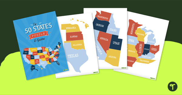
Map of the U.S. Puzzle and Game
A fun puzzle and game to use in the classroom when learning the names and geographical locations of the American States.
- Plus Plan
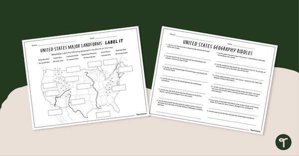
Major U.S. Land Features Worksheets
Discover and identify the major rivers, mountains, and landforms in the United States with an easy-to-use set of worksheets.
- Plus Plan
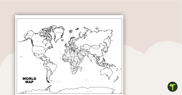
World Map with Countries Labeled
Print a labeled world map for the classroom with the various countries of the world.
- Plus Plan
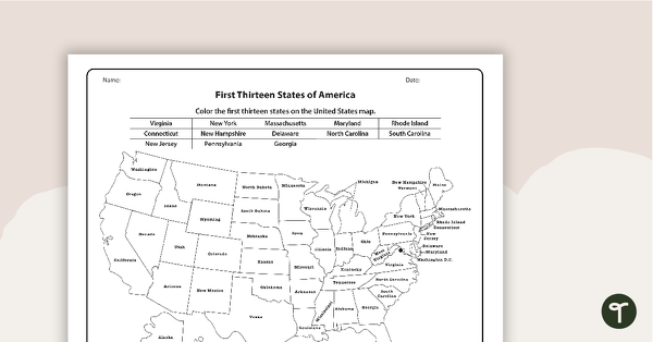
Maps of America - The 13 Colonies Worksheets
A set of maps to display in the classroom when learning about the first thirteen states of America.
- Plus Plan
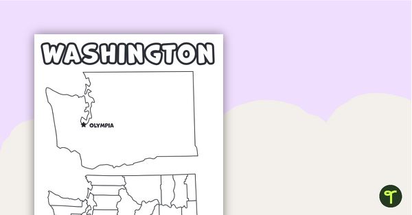
Map of Washington With Counties and Capital
Download the best printable map of Washington state, including capital city and county lines, for your geography lessons.
- Plus Plan
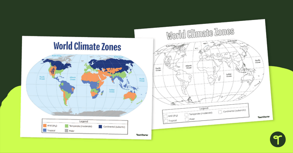
Climate Zone Map — Printable Classroom Resource
Print a climate zone map for the classroom to support lessons about the 6 climate types.
- Plus Plan
Features of Greece Map & Geography Worksheet Pack
Print a map of Greece and pack of geography worksheets for 6th grade.
- Plus Plan
Physical Features of Australia – Geography Worksheets
A printable pack of worksheets for students to learn about Australia's geography and complete a labeled map of Australia.
- Plus Plan
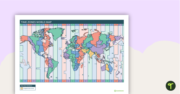
Printable Time Zone World Map
A poster to display in the classroom when locating the different time zones of the world.
- Plus Plan
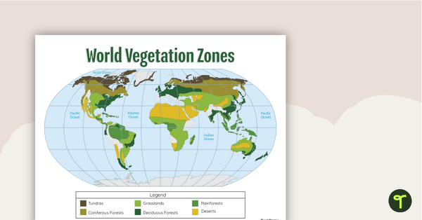
World Biomes Map
Locate and explore the different biomes of the world with this engaging classroom poster.
- Plus Plan
Outline of Texas - Printable Blank Map
A blank map of Texas to use during Geography lessons.
- Plus Plan
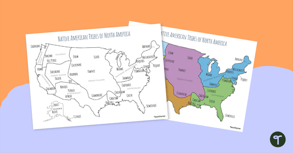
Printable Map of Native American Tribes of North America
Print and use a detailed map showing the regions of native American tribes.
- Plus Plan
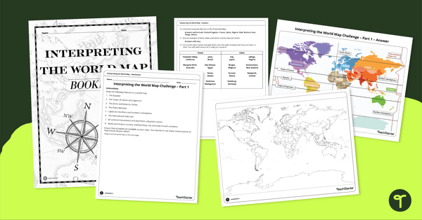
Interpreting the World Map Worksheet Pack
Print a pack of worksheets to quiz your students on their knowledge of world map features.
- Plus Plan
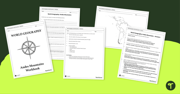
Analyze and Label South America Map & Andes Mountain Worksheet Pack
Explore civilizations in the Andes Mountains with students using the printable map and worksheet pack for sixth graders.
- Plus Plan
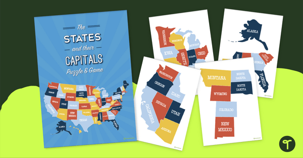
The States of America Puzzle
Explore the US states and state capitals with this fun and engaging puzzle.
- Plus Plan
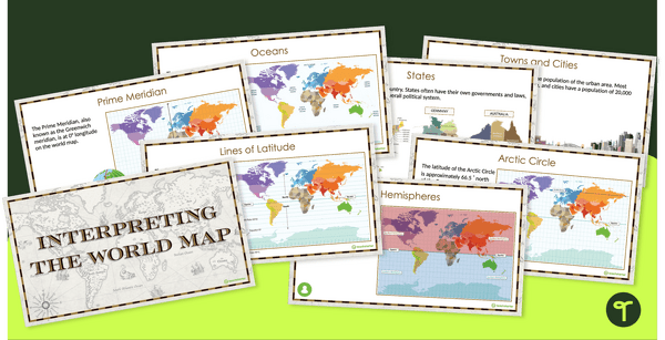
Interpreting the World Map and Map Features – Slide Deck
Explore the key map features of world maps with this 18-slide PowerPoint presentation.
- Plus Plan
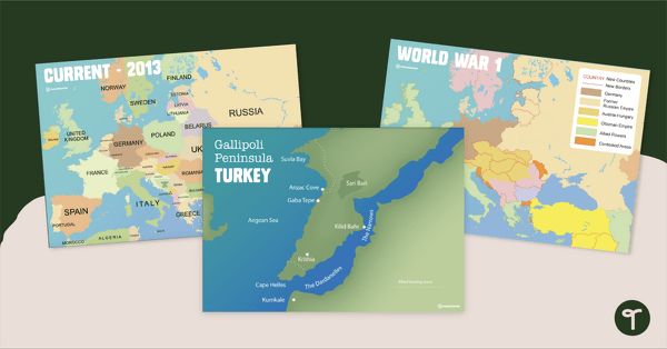
Printable World War 1 Map of Europe
Printable map of Europe and World War 1 to use in the classroom when learning about WW1.
- Plus Plan
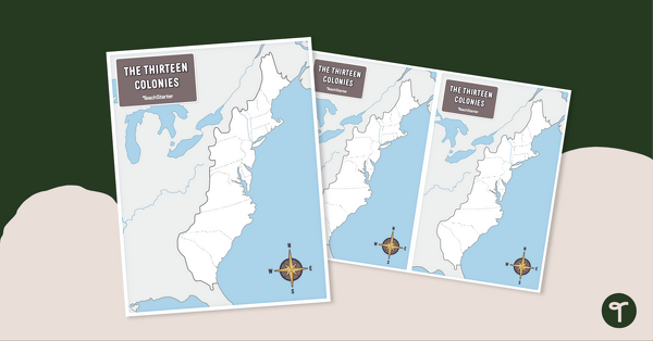
13 Colonies Map - Blank
Build understanding of Colonial America with a blank 13 colonies map.
- Plus Plan
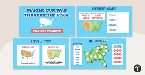
Google Interactive - Regions of the United States
Practice identifying states in the five regions of the United States with a Google Interactive activity.
- Plus Plan
Blank Map of West Virginia Template
A blank map of West Virginia to use during Geography lessons.
- Plus Plan
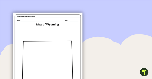
Blank Map of Wyoming Template
Download a blank Wyoming map for your lesson plans, student research projects and more!
- Plus Plan
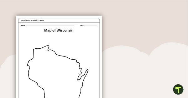
Map of Wisconsin Template
A blank map of Wisconsin to use during Geography lessons.
- Plus Plan
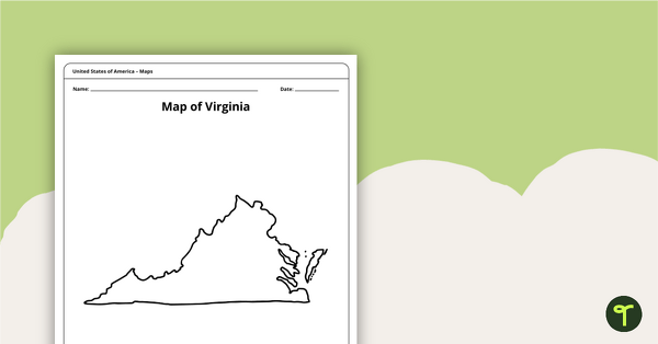
Blank Map of Virginia Template
A blank map of Virginia to use during Geography lessons.
- Plus Plan
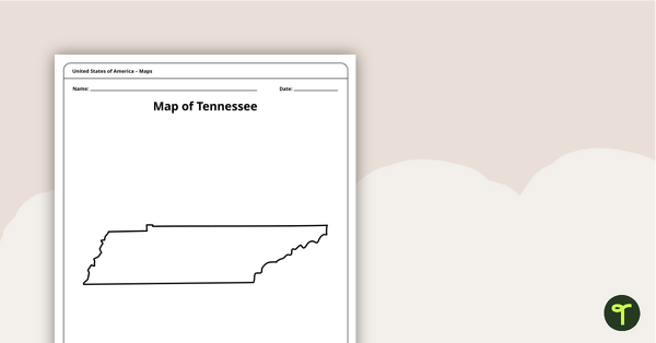
Map of Tennessee Template
A blank map of Tennessee to use during Geography lessons.
- Plus Plan
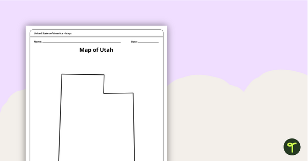
Map of Utah Template
A blank map of Utah to use during Geography lessons.
- Plus Plan
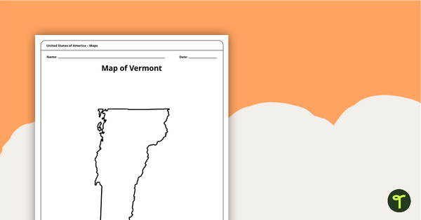
Map of Vermont Template
A blank map of Vermont to use during Geography lessons.
- Plus Plan
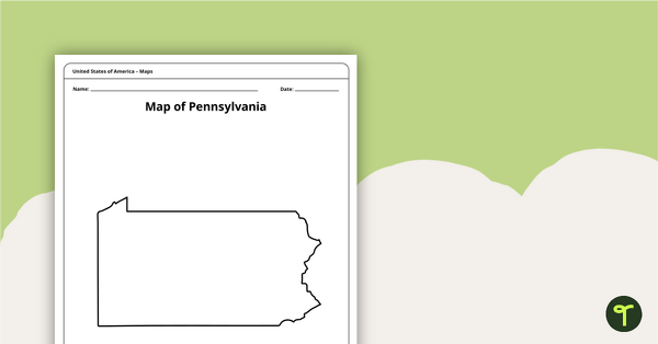
Map of Pennsylvania Template
A blank map of Pennsylvania to use during Geography lessons.
- Plus Plan
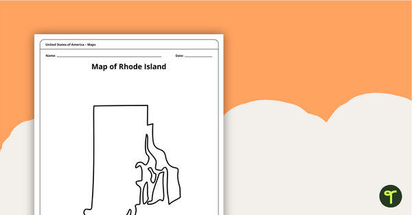
Map of Rhode Island Template
Download a printable blank map of Rhode Island to use during geography and Ocean State history lessons.
- Plus Plan
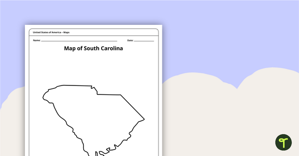
Blank Map of South Carolina Template
Use this printable blank map of South Carolina to during geography and Palmetto State history lessons.
- Plus Plan
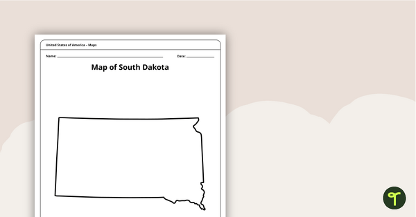
Blank Map of South Dakota Template
A blank map of South Dakota to use during Geography lessons.
- Plus Plan
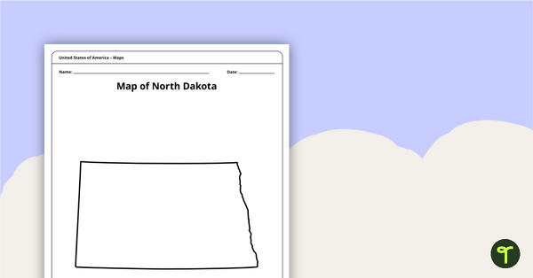
Map of North Dakota Template
A blank map of North Dakota to use during Geography lessons.
- Plus Plan
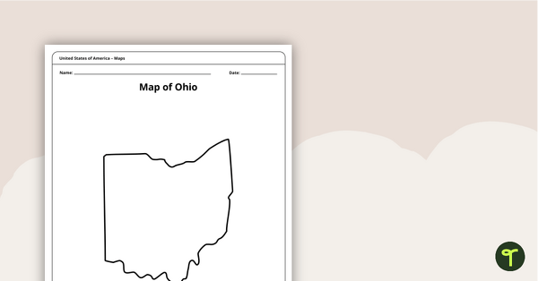
Map of Ohio Template
A blank map of Ohio to use during Geography lessons.