World Maps Posters for Teachers
- Plus Plan
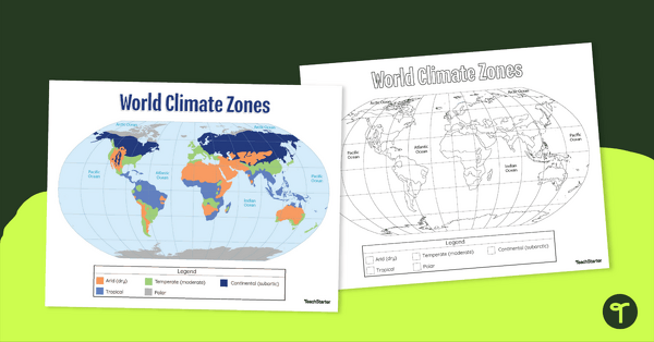
Climate Zone Map — Printable Classroom Resource
Print a climate zone map for the classroom to support lessons about the 6 climate types.
- Plus Plan
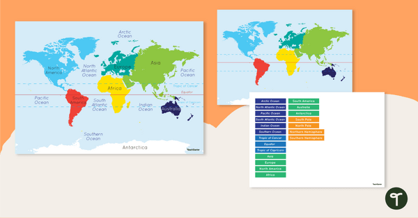
Map of the World - Labeling Activity
Discover and label the world's continents and oceans with this blank map of the world.
- Plus Plan
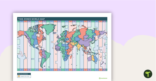
Printable Time Zone World Map
A poster to display in the classroom when locating the different time zones of the world.
- Plus Plan
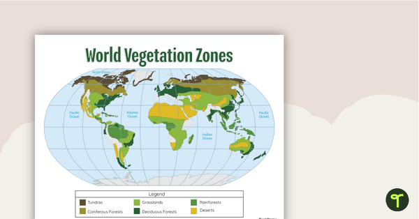
World Biomes Map
Locate and explore the different biomes of the world with this engaging classroom poster.
- Plus Plan
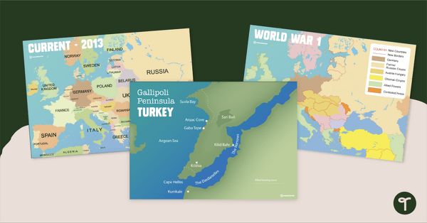
Printable World War 1 Map of Europe
Printable map of Europe and World War 1 to use in the classroom when learning about WW1.
- Plus Plan
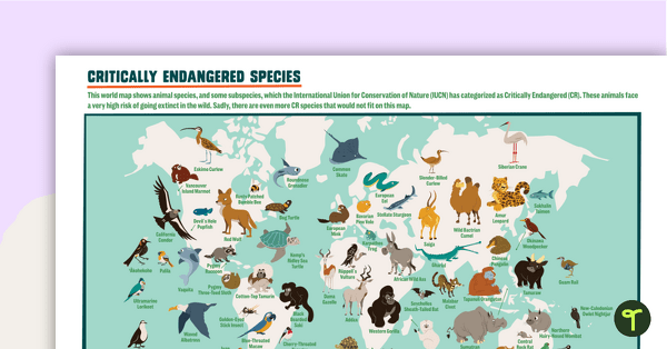
Critically Endangered Species Map
Use this endangered species world map when exploring animals that have been placed on the Critically Endangered list.
- Plus Plan
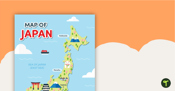
Map of Japan
A map of Japan featuring the names of the main islands and well-known landmarks.
- Plus Plan
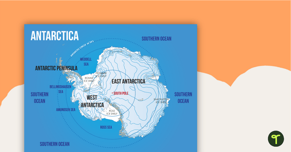
Map of Antarctica
A map showing the layout and major features of Antarctica.
- Plus Plan
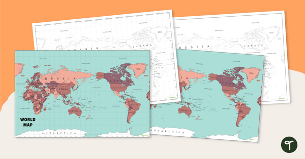
World Map - Continents, Oceans, and Countries
Teach your students about the continents, oceans, and countries of the world with this highly detailed map.
- Plus Plan
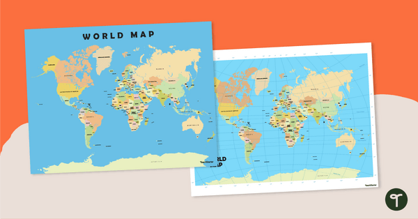
World Map Poster
Teach your students about the continents and countries of the world with this detailed map.
- Plus Plan
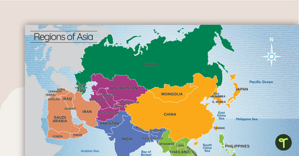
Map of the Regions of Asia
A map showing the layout, regions and major countries of Asia.