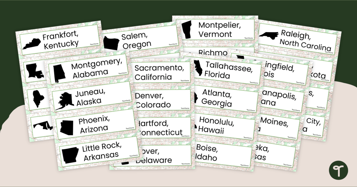
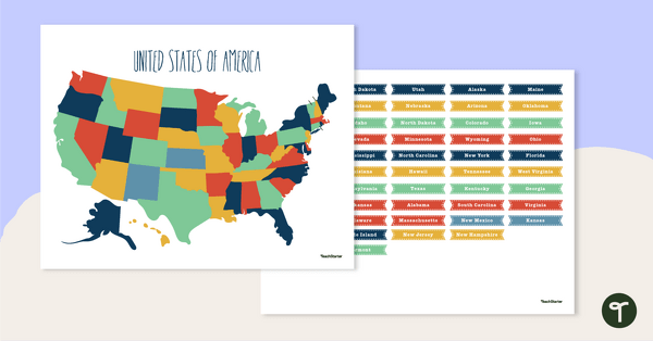
Display the 50 states and capitals with 50 states map and word wall display.
50 States and Capitals -Map Display Wall
Most elementary school curriculums require students to learn the US states and capitals. To do this, students must have strong memory skills. There are numerous memorization strategies to help students boost their working memory.
One way to boost knowledge of all fifty states and capitals is by providing your students with visuals to assist them in identifying different locations around the country. This word wall display gives your students a simple display highlighting each state, capital, and form, as shown on a map.
This printable 50 states word wall is the perfect addition to your Social Studies classroom or even as an educational hallway display for all students to review as they walk by.
Check out All the States and Capitals Activities
Use the dropdown icon on the Download button to choose between the PDF and Editable Google Slides versions of this resource.
Print on cardstock for added durability and longevity. Place all pieces in a folder or large envelope for easy access.
Don’t stop there! We’ve got more activities and resources that cut down on lesson planning time: Teach your students about the geography of the United States of America with this detailed map.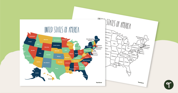
teaching resource
Labeled Map of the United States
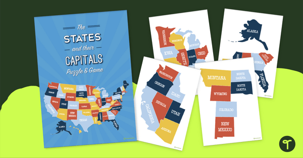
Practice identifying states in the five regions of the United States with a Google Interactive activity. Explore the US states and state capitals with this fun and engaging puzzle.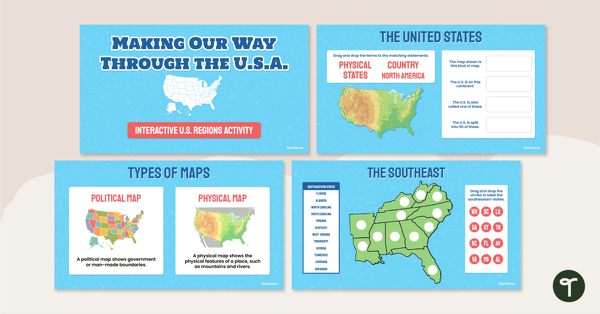
teaching resource
Google Interactive - Regions of the United States
teaching resource
The States of America Puzzle


0 Comments
Write a review to help other teachers and parents like yourself. If you'd like to request a change to this resource, or report an error, select the corresponding tab above.