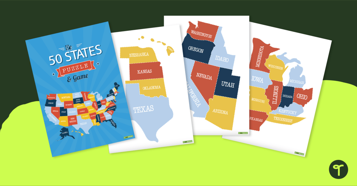
A fun puzzle and game to use in the classroom when learning the names and geographical locations of the American States.
Learn the 50 States with a U.S. Map Puzzle
Introducing our United States Map Puzzle – the perfect addition to your classroom resources! This high-quality printable puzzle features all 50 states, making it a great tool for teaching geography and government. It is a fun and engaging way for students to learn about the different states and promotes problem-solving and critical thinking skills.
Ways to Use our U.S. Puzzle Map in your classroom:
- State labeling: Have students work in groups to assemble the puzzle and label each state and its capital. This is a great way to review state names and locations.
- State facts: Have students research and present a specific state, using the puzzle as a visual aid to show where it is located.
- Geography quiz: Create a quiz using the puzzle and have students answer questions about state locations and capitals.
- State matching: Cut out individual states and have students match them to their correct location on the puzzle.
- State scavenger hunt: Create a scavenger hunt where students use the puzzle to find specific states and answer questions about them.
With our United States Map Puzzle, you’ll have a versatile and engaging tool to use in your classroom. Download yours today and see the difference it can make in your student’s understanding of geography and government!
This resource includes:
- 1 color version
- 1 black and white version.

2 Comments
Write a review to help other teachers and parents like yourself. If you'd like to request a change to this resource, or report an error, select the corresponding tab above.
No comments yet.