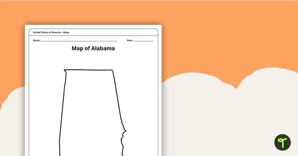
Download a blank map of Alabama for the classroom. The printable PDF is perfect for student research projects and map skills lessons.
Looking for a Printable Alabama State Map?
We’ve got you covered! With this resource, you can download a printable blank map of Alabama to teach students map skills and learn more about the 22nd state in the United States.
This Southern US state has a host of rivers, lakes, and important landforms that students can label on the map. Here are just a few cities you might have your students label on their new map!
- Birmingham
- Montgomery
- Mobile
- Huntsville
- Tuscaloosa
- Auburn
Fun Facts About the State of Alabama for Kids
- The state’s name comes from the Alabama tribe, one of the Native American groups from that area.
- Alabama is known as the Cotton State or Yellowhammer State.
- The yellowhammer is also the state bird of Alabama. It’s also known as the northern flicker or yellow-shafted flicker.
- Two of North America’s rarest species—the Perdido Key beach mouse and the Alabama beach mouse—hide out in Alabama.
More Printable State Maps for Teachers
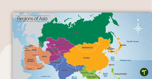
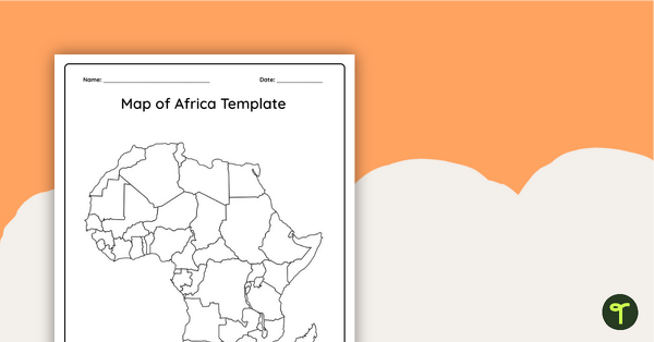
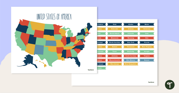
We’ve got the entire United States covered with a map for each of the 50 states! Explore more to add to your teacher toolkit!
[resource:3661882] [resource:4831597] [resource:3662750]


0 Comments
Write a review to help other teachers and parents like yourself. If you'd like to request a change to this resource, or report an error, select the corresponding tab above.