Explore civilizations in the Andes Mountains with students using the printable map and worksheet pack for sixth graders.
Teach About Mesoamerican and Andean Civilizations
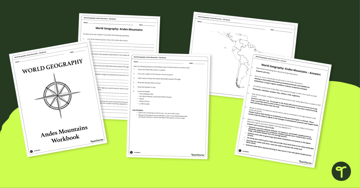
The Andes Mountains are one of the largest mountain chains in the world. They run from Venezuela through Peru, Ecuador, and Bolivia into Chile, with peaks reaching over 6,000 meters (20,000 feet) high.
The Andes Mountains have been home to human civilizations since the first people moved into this region thousands of years ago. Despite its rough terrain, people have adapted to the environment and flourished thanks to their knowledge of how to survive in such a harsh climate.
Andes Mountain Study Guide & Quiz Option
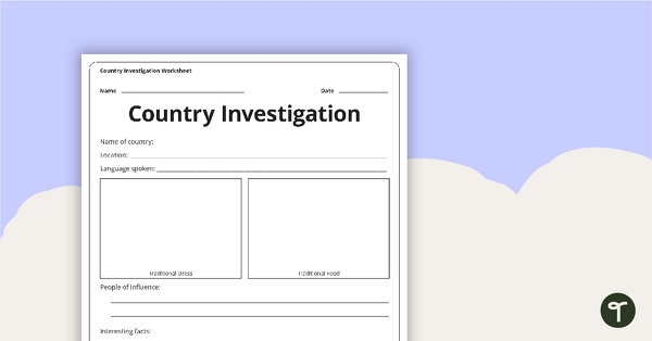
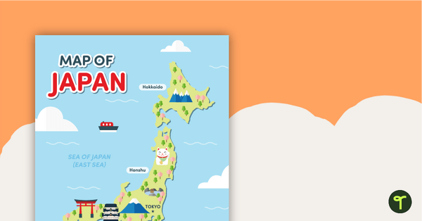
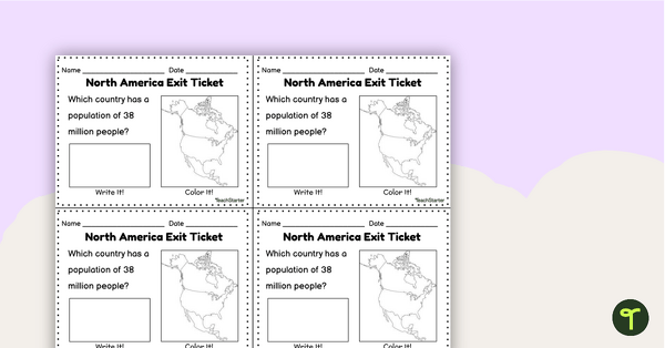
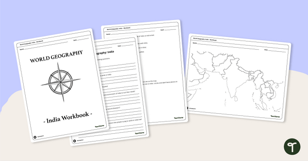
This study guide will help you explore the geography, terrain, and people of the Andes region. It includes maps for students to label and printable map worksheets that allow students to investigate adaptations and skills people have gained so they can live in this alpine environment within the Andes Mountains.
Answers are attached to the workbook.
This workbook is recommended to be used with the Human Adaptations to Environments Around the World– Instructional Slide Deck.





0 Comments
Write a review to help other teachers and parents like yourself. If you'd like to request a change to this resource, or report an error, select the corresponding tab above.