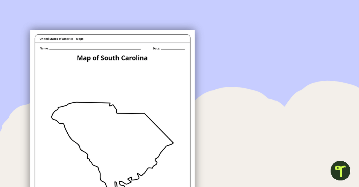
Use this printable blank map of South Carolina to during geography and Palmetto State history lessons.
Map South Carolina Starting With a Blank Map
The state of South Carolina may be one of the smallest states in America but it is filled with a lot of history. In fact, many things make this state special. Learn about the amazing state with your students, starting with a blank map outline of the state.
Print Your Own Maps of South Carolina with Ease
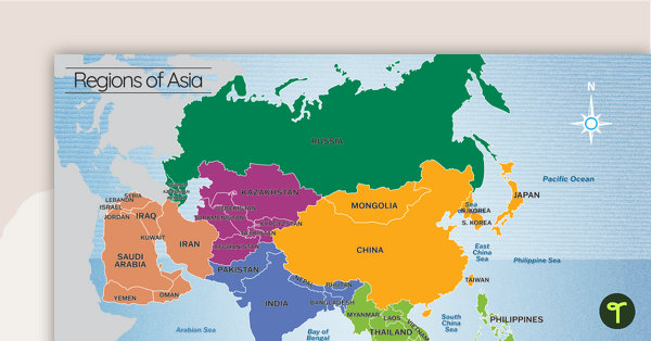
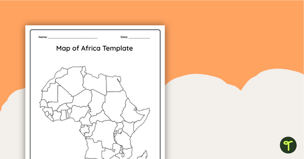
Maps are an incredibly valuable tool for visualizing and understanding geography. By presenting information in a map format, it becomes easier for students to understand their location in relation to other countries worldwide. This can be especially helpful for students who are first studying the topic of geography. Here is an overview of different ways you can use maps in your classroom:
- Use this printable blank map of the State of South Carolina when learning about the individual states that form the United States of America.
- Encourage your students to add items to the map of the Palmetto State, such as: a compass rose, a legend, the state capital, and other major cities.
- Students could also add relevant natural features to the map such as major rivers, lakes, and mountain ranges as part of a US geography or state geography lesson.
Before You Download
Use the Download button to download the PDF version of this resource.


0 Comments
Write a review to help other teachers and parents like yourself. If you'd like to request a change to this resource, or report an error, select the corresponding tab above.