Discover and identify the major rivers, mountains, and landforms in the United States with an easy-to-use set of worksheets.
Identifying Major U.S. Landforms Worksheet — Rivers and Mountains of the United States
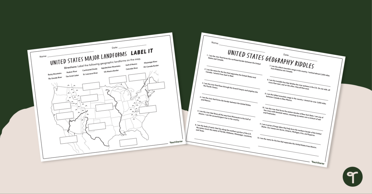
Identifying major U.S. landforms is an important educational concept that should be practiced by every student. This product was designed to help students practice locating the major rivers, mountains, and geographic landforms in the United States. Your geography or landforms lessons are sure to be rigorous when using this resource.
The major U.S. land features referenced in this activity are
- Rocky Mountains
- Rio Grande
- Hudson River
- The Great Lakes
- Continental Divide
- St. Lawrence River
- Appalachian Mountains
- Mississippi River
- Gulf of Mexico
- Colorado River
- US-Mexico Border
- US-Canada Border
Tips for Differentiation + Scaffolding
To provide an extra challenge, remove word banks from resources and have students label the maps or complete the activities from memory.
Provide opportunities for students to draw, write, and discuss the different rivers and mountain ranges in the United States.
Assist struggling students with the tasks by providing notes, anchor charts, or individual assistance as needed.
Easily Download & Print
Use the Download button to download the PDF version of this resource.
Turn this teaching resource into a sustainable activity by printing on cardstock and slipping it into a dry-erase sleeve. Students can record their answers with a whiteboard marker, then erase and reuse them.
Additionally, project the worksheet onto a screen and work through it as a class by having students record their answers in their notebooks.
This resource was created by Lindsey Phillips, a teacher in Michigan and a Teach Starter collaborator.
Don’t stop there! We’ve got more activities to shorten your lesson planning time:
| [resource:4804732] [resource:4493458] [resource:4680264] |


0 Comments
Write a review to help other teachers and parents like yourself. If you'd like to request a change to this resource, or report an error, select the corresponding tab above.