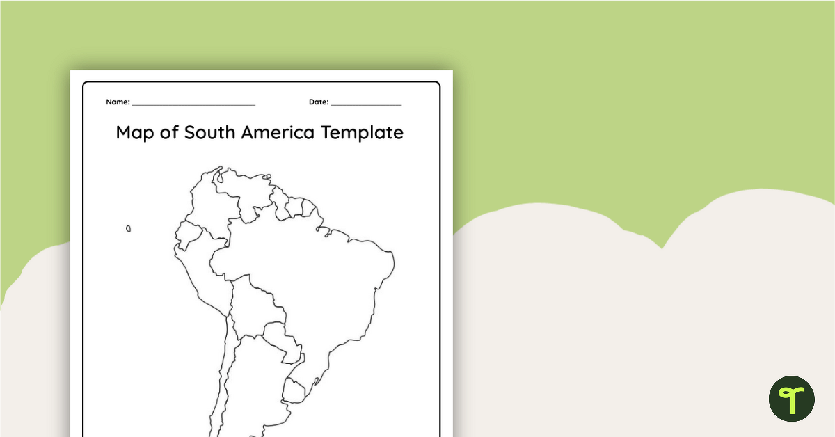
This blank map of South America is perfect for elementary and middle school classes with editable Google Slides and printable PDF versions.
A Printable Blank Map of South America for Labeling
Are you exploring the vast continent of South America with your students? You’re going to need a map!
Use this unlabeled, black-and-white map of South America to help your students become more familiar with the natural and human features of this diverse continent.
Using Your South American Map in the Classroom
This blank map of South America makes a great addition to your Social Studies resources and can be used in a multitude of ways in your classroom. Here are some suggestions:
Explore Population Density
Introduce your class to the concept of population density and how it can vary largely from region to region on a single continent.
Have students shade regions on the map to represent areas of South America with higher or lower populations, then analyze the reasons behind population distribution.
Create a Comprehensive Map
Provide students with the blank map at the start of your unit so they can add significant landforms and other features over time. Some important South American features they might want to add include:
- Mountains, including the Andes mountain range and Aconcagua, the highest peak on the continent
- Capital cities such as Caracas in Venezuela and Santiago in Chile
- Lakes such as the well-known Lake Titicaca and Lake Maracaibo
- Major rivers, including the Amazon and the Orinoco
What are the Countries of South America?
There are 12 different countries in South America, and this map includes the outlines of each one for easy labeling by your students on your next quiz or activity. Need a refresher? Here’s the entire list of South American countries in alphabetical order!
- Argentina
- Bolivia
- Brazil
- Chile
- Colombia
- Ecuador
- Guyana
- Paraguay
- Peru
- Suriname
- Uruguay
- Venezuela
Download Your South American Map
Use the dropdown arrow next to the Download button to access the easy-print PDF version or the editable Google Slides version of this resource.
More Maps for Your Classroom
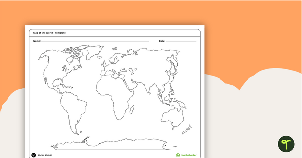
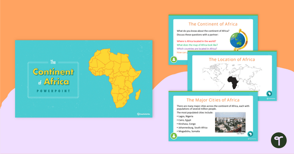
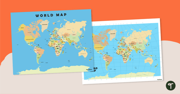
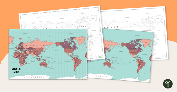
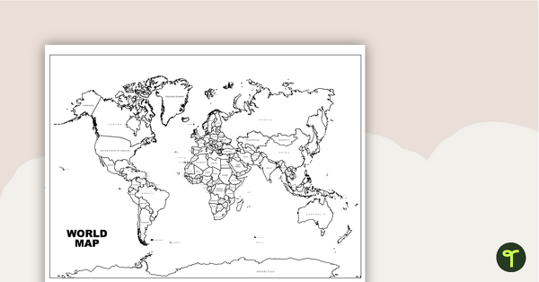
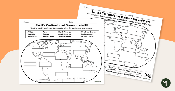
Do you need more maps to continue your students’ exploration of the world? Try these teacher-created resources:
[resource:4481720] [resource:4481778] [resource:4944100]


Nice clear map. It would be good if it outlined an area for a legend/key to prompt the students to include one.
Hi there J-A K. Thanks for sending through this suggestion. I hope you found this resource useful, and that your students remembered to include legends on their maps! Have a great day.