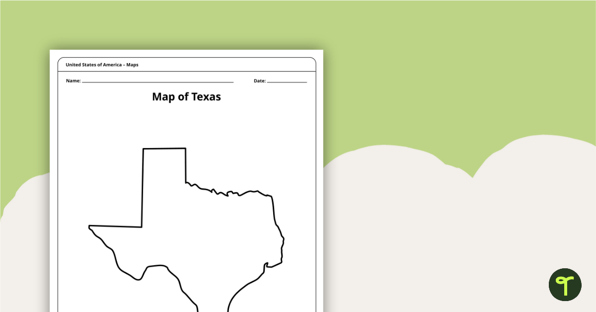
A blank map of Texas to use during Geography lessons.
Print Your Own Texas State Outline Map
As teachers, we understand the importance of having various teaching resources at our disposal. That’s why we’re excited to introduce our blank outline map of Texas. This versatile map is a must-have for any classroom studying Texas geography and history.
How to Use a State of Texas Outline in the Classroom
Here are just a few ways you can use this map in your lessons:
- As a reference tool for students to study and label Texas’s major cities, rivers, and landmarks.
- As a visual aid for discussing the different regions of Texas, such as the Gulf Coast, the Hill Country, and the Panhandle.
- As a tool for students to plot the locations of important historical events and landmarks, such as the Alamo and the San Jacinto Battleground.
- As a way to introduce and explore the different cultures and populations of Texas, including the indigenous peoples and immigrants who have made Texas their home.
- As a way to practice map reading skills and spatial reasoning, such as plotting routes and distances between different locations.
This resource downloads as a quick-print PDF. Click download, print, and start teaching!


0 Comments
Write a review to help other teachers and parents like yourself. If you'd like to request a change to this resource, or report an error, select the corresponding tab above.