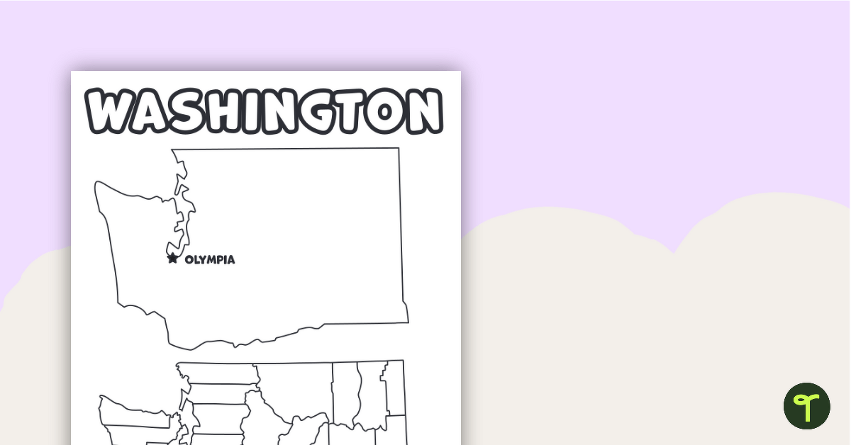
Download the best printable map of Washington state, including capital city and county lines, for your geography lessons.
Printable Washington Map Template
Imagine the possibilities! With this printable Washington State map, you will have endless opportunities to teach your students about the geography and features of the state of Washington and more. This fun map template of Washington State is a wonderful resource for teachers and parents alike in their quest to help young students learn more about the world around them.
Use this printable map to help your students develop map reading and symbol identification skills. Encourage your students to add items to the map, such as a compass rose, a legend, the state capital, and other major cities.
Students could also add relevant natural features to the map, such as major rivers, lakes, and mountain ranges.
Geography Lessons with a Map of Washington State Counties
Printable maps have a multitude of possible uses. Some ideas for using them in the classroom are
- Have students color this blank map of the State of Washington. Then add and label the major cities and bodies of water.
- Label the major cities and rivers on this map of Washington State. Students can locate cities including Olympia, Walla Walla, Tacoma, Seattle, Everett, and Spokane.
Download and Print
Use the dropdown to choose between a printable PDF file with small versions of the state map (with and without the county lines) or another larger outline map without any markings.
More Handy United States Maps
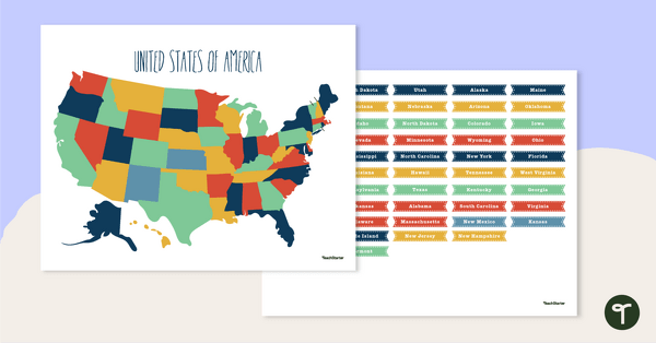
Take your teacher toolkit for a drive around the United States with more handy map resources for the classroom!
[resource:3660730] [resource:70514] [resource:67344]

0 Comments
Write a review to help other teachers and parents like yourself. If you'd like to request a change to this resource, or report an error, select the corresponding tab above.