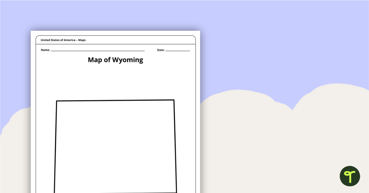
Download a blank Wyoming map for your lesson plans, student research projects and more!
Blank Map of Wyoming for the Classroom
Do you need a quick printable map of Wyoming to use in the classroom? This handy printable template includes the borders of the Cowboy State but has been designed by our teacher team as a blank slate so it can be easily adapted for your lesson planning!
Print out copies of the PDF template to hand out to students to use when writing state research reports, project it on your whiteboard for a classroom labeling activity and more!
Do you need a handy list of the major geographic features in Wyoming to use during your next lesson? The Teach Starter geography teachers have you covered!
Major Wyoming Cities List for Kids
From the capital city of this Western state to some of the smaller locales, here’s a list of major Wyoming cities that you can use for a labeling challenge. Set a timer and see how many students can add to their blank map:
- Cheyenne
- Casper
- Laramie
- Gillette
- Rock Springs
- Sheridan
- Green River
- Evanston
- Riverton
- Cody
Major Wyoming Rivers List for Kids
Do you want to add rivers from this US state to the challenge? Why not see how many students in your class can name from this list:
- Yellowstone River
- North Platte River
- Snake River
- Green River
- Bighorn River
- Wind River
- Shoshone River
- Powder River
- Bear River
- Laramie River
More US State Maps for Teachers
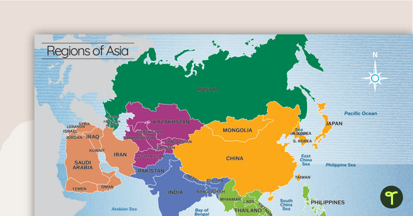
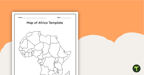
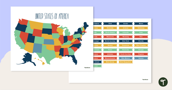
Do you need more maps to add to your teacher toolkit? Check out these printables!
[resource:3663062][resource:70514] [resource:70514]4460122[/resource]


0 Comments
Write a review to help other teachers and parents like yourself. If you'd like to request a change to this resource, or report an error, select the corresponding tab above.