Print a climate zone map for the classroom to support lessons about the 6 climate types.
Looking for a Climate Zones Map?
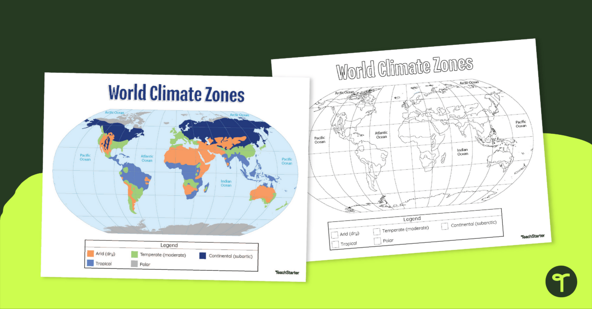
We’ve got you covered with a simple, yet highly effective printable map of climate zones around the world. This resource is perfect to use and display during your science or geography lessons.
Available as an easy-to-print PDF, the teacher-created map serves as an excellent reference tool for students when identifying the location of different climates around the world. A black and white version of this resource has been provided for the students to complete themselves.
What Are the 6 Climate Zones of the World?
All six climate zones are shown on this classroom map, including:
- Arid (dry)
- Continental (subarctic)
- Highland (alpine)
- Polar (ice cap)
- Temperate (moderate)
- Tropical
More Climate Lesson Planning Resources for Teachers
Do you need more lesson planning help? Take a look at some of these climate-focused resources from teachers for teachers like you:
teaching resource
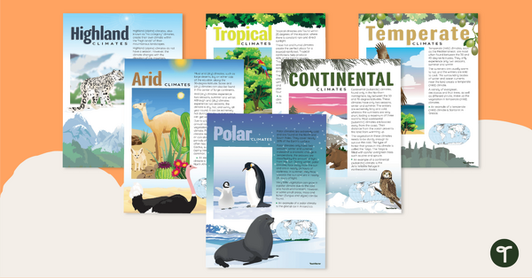
Climate Zones of the World – Poster Pack
Learn about different climate types with this set of 6 printable posters.
teaching resource
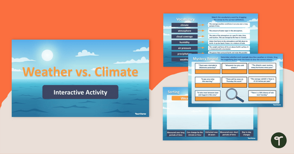
Weather vs. Climate – Google Slides Interactive Activity
Strengthen student understanding of weather and climate with this interactive activity designed for 5th-grade students.
teaching resource
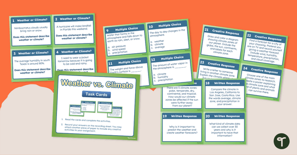
Weather vs. Climate – Task Cards
Differentiate between weather and climate by answering questions and responding to writing prompts and with this set of 24 task cards.

0 Comments
Write a review to help other teachers and parents like yourself. If you'd like to request a change to this resource, or report an error, select the corresponding tab above.