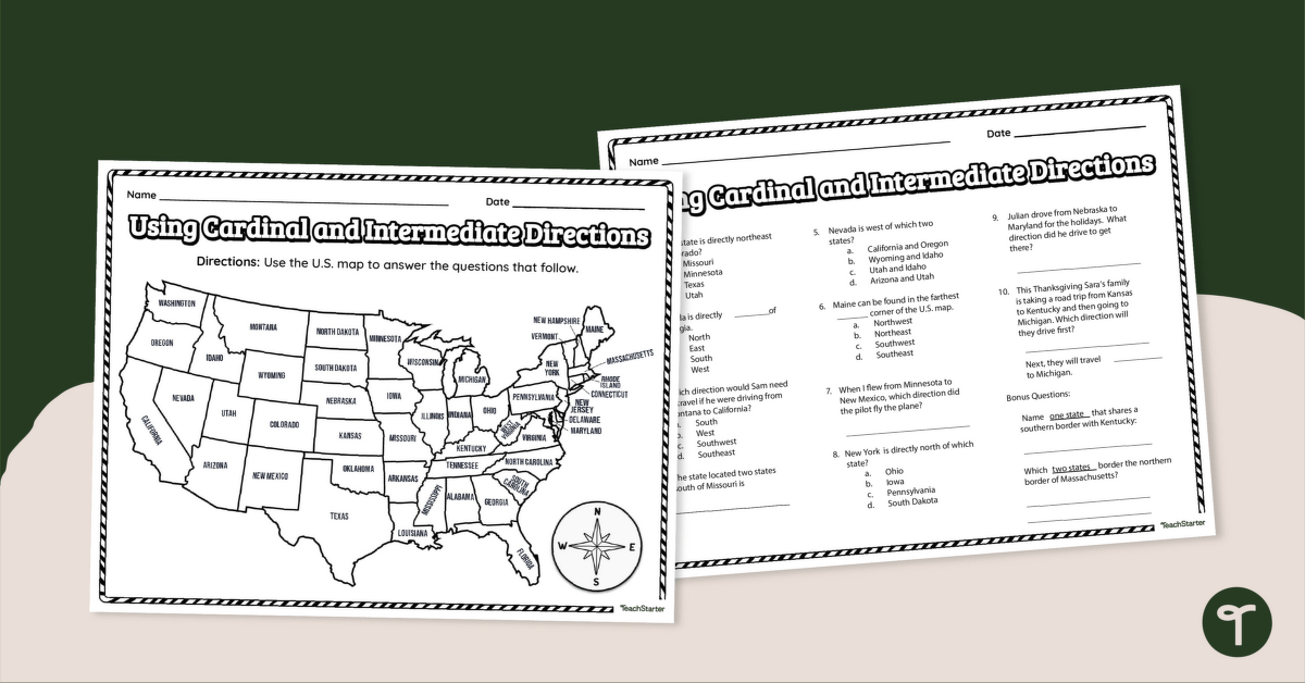
Use cardinal and intermediate directions to determine locations around the United States with a map reading worksheet.
Using cardinal and Intermediate Directions
This worksheet is best used as independent practice after your social studies lesson.
Students will use a labeled map of the United States to answer questions about the direction and location of different places within the country.
Through this activity, students will show they understand how to use cardinal and intermediate directions to locate and navigate a map of the United States of America.
Cardinal Directions Worksheet: Scaffolding & Extension Tips
In addition to individual student work time, use this geography worksheet as a:
- Post-lesson exit ticket
- Homework assignment
- Whole-class review (via smartboard)
Got fast finishers? After completing the exercise, have students write their own clues to different locations around the world.
Students should refer to the compass as a visual reminder if they are having trouble with the activity.
A Variety of Ways to Prepare This Resource
Because this resource includes an answer sheet, we recommend you print one copy of the entire file. Then, make photocopies of the blank worksheet for students to complete.
Additionally, project the worksheet onto a screen and work through it as a class by reading the clues out loud and moving them in place through choral response.
Before You Download
Use the dropdown icon on the Download button to choose between the PDF or Google Slides version of this resource. An answer key is also included with this download.
This resource was created by Beth Hindi a teacher in Texas and Teach Starter Collaborator.


1 Comment
Write a review to help other teachers and parents like yourself. If you'd like to request a change to this resource, or report an error, select the corresponding tab above.
No comments yet.