Geography Teaching Resources
A comprehensive collection of Geography teaching resources. This collection includes a large selection of educational resources such as posters, worksheets, lesson plans, assessment pieces, inquiry tasks, comprehension texts and more! Within this Geography category, you will find resources that support the teaching of the sub-strands which includes countries, environments, flags, landmarks, maps, sustainability, environmental impact and recycling.
- Plus Plan
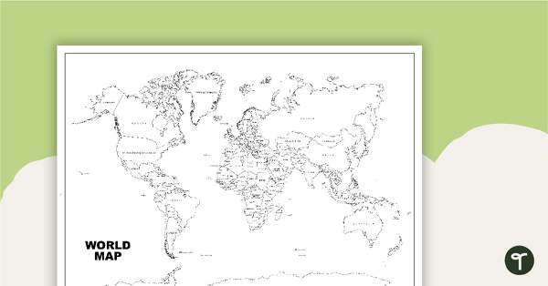
World Map (Black and White Version)
Black and white world map showing countries, oceans and seas.
- Free Plan
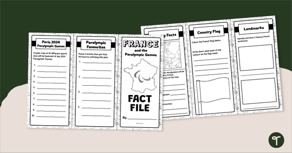
France Fact File – Brochure Template
Explore the wonders of France with this tri-fold brochure template perfect for developing your students' research and presentation skills.
- Plus Plan
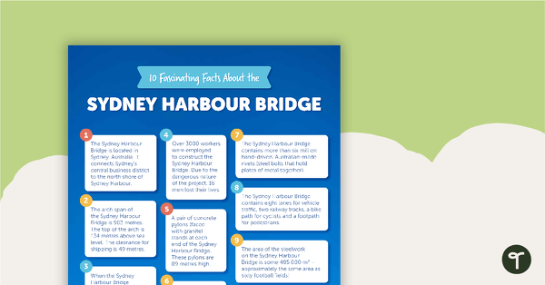
10 Fascinating Facts About the Sydney Harbour Bridge – Comprehension Worksheet
A comprehension worksheet for an article including ten facts about the Sydney Harbour Bridge in Australia.
- Plus Plan
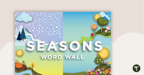
Seasons Word Wall Vocabulary
31 Season vocabulary cards for use on a word wall.
- Plus Plan
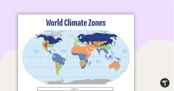
Map of the World's Climate Zones
A poster to display in the classroom when locating the different climates of the world.
- Plus Plan
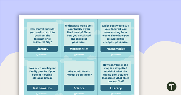
Five Wonders Theme Park Stimulus – Task Cards
103 activity task cards based on the Five Wonders Theme Park stimulus posters.
- Plus Plan
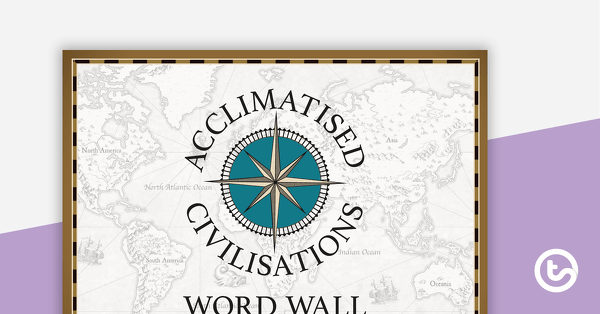
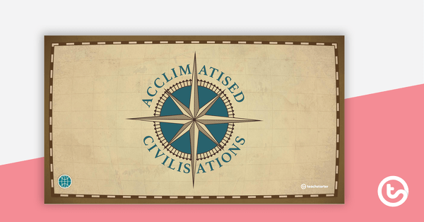
Acclimatised Civilisations – Word Wall
Content-specific vocabulary cards for a word wall based on the Acclimatised Civilisations Geography resources.
- Plus Plan
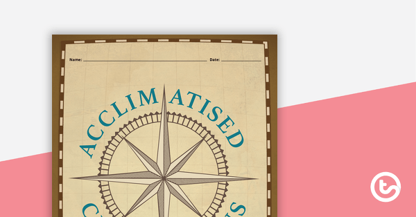
Acclimatised Civilisations – Inquiry Project
A Geography inquiry investigation for students to research a civilisation and how they adapted to their environment and landscape.
- Plus Plan
Acclimatised Civilisations: Inuit Territories – Workbook
A workbook for students to use their investigation and mapping skills, while learning about civilisations in Inuit Territories.
- Plus Plan
Acclimatised Civilisations: Egypt – Workbook
A workbook for students to use their investigation and mapping skills, while learning about civilisations in Egypt.
- Plus Plan
Acclimatised Civilisations: Australia – Workbook
A workbook for students to use their investigation and mapping skills, while learning about civilisations in Australia.
- Plus Plan

Acclimatised Civilisations: India – Workbook
A workbook for students to use their investigation and mapping skills, while learning about civilisations in India.
- Plus Plan
Acclimatised Civilisations: Greece – Workbook
A workbook for students to use their investigation and mapping skills, while learning about civilisations in Greece.
- Plus Plan
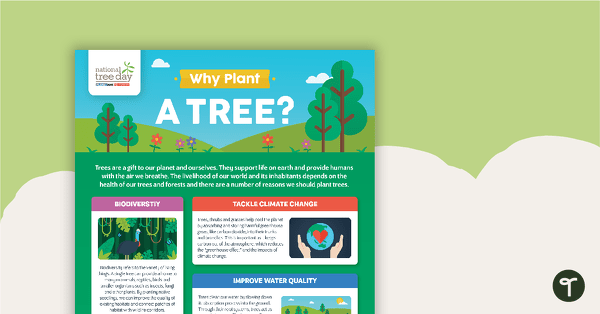
National Tree Day – Why Plant a Tree? Infographic
An infographic poster about the importance of trees in celebration of National Tree Day.
- Plus Plan
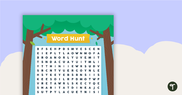
National Tree Day – Word Hunt
A National Tree Day word search to use in the classroom.
- Plus Plan

'10 Fun Facts' Template
A template for younger students to use when conducting and recording research.
- Plus Plan
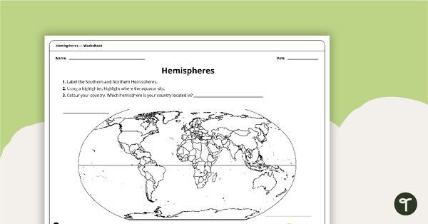
Hemispheres Worksheet
A worksheet highlighting the hemisphere, equator and country locations.
- Plus Plan
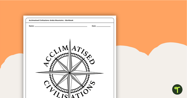
Acclimatised Civilisations: Andes Mountains – Workbook
A workbook for students to use their investigation and mapping skills, while learning about civilisations in the Andes Mountains.
- Plus Plan
Seven US Landmarks Posters
A set of 7 posters highlighting some of the United States most famous Landmarks.
- Plus Plan
Acclimiatised Civilisations – Teaching Presentation
A Geography teaching presentation for students to learn about how different cultures adapted to different landscapes.
- Plus Plan
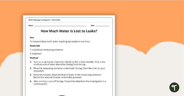
Water Wastage Investigation - How Much Water is Lost to Leaks?
A practical investigation related to sustainable resource use.
- Plus Plan
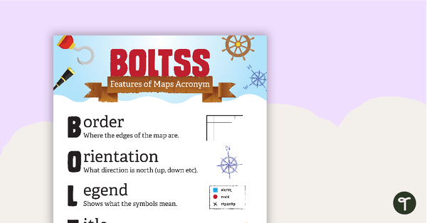
Features of Maps Posters
A set of 2 posters outlining the features of a map.
- Plus Plan
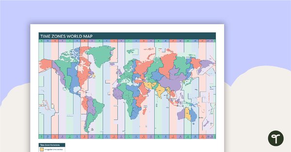
Time Zones World Map
A poster to display in the classroom when locating the different time zones of the world.
- Plus Plan
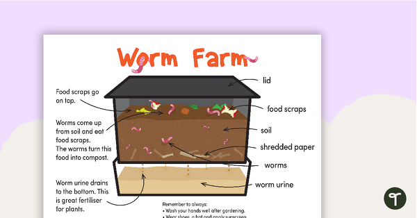
Worm Farm Poster Pack
A set of 7 posters explaining the process of creating a worm farm and how a worm farm works.
- Plus Plan
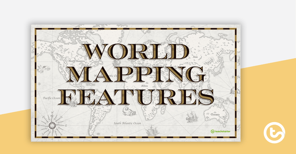
World Mapping Features – Teaching Presentation
An 18 slide PowerPoint presentation to use when teaching students about the main features of the world map.
- Plus Plan
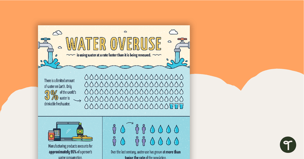
Water Overuse Infographic Poster
An infographic displaying important facts and statistics about water overuse.
- Plus Plan
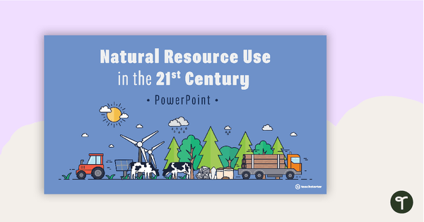
Natural Resource Use in the 21st Century PowerPoint
A 22 slide editable PowerPoint template to use when exploring how natural resources are used by humans in the 21st century.
- Plus Plan
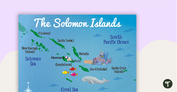
Map of The Solomon Islands
A map showing the layout and major cities in The Solomon Islands.
- Plus Plan
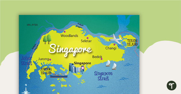
Map of Singapore
A map showing the layout and major cities in Singapore.
- Plus Plan
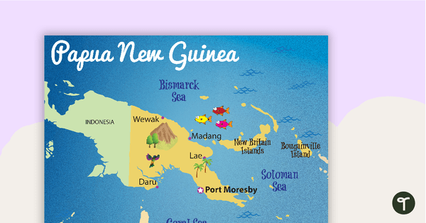
Map of Papua New Guinea
A map showing the layout and major cities in Papua New Guinea.
- Plus Plan
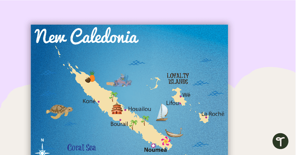
Map of New Caledonia
A map showing the layout and major cities in New Caledonia.
- Plus Plan
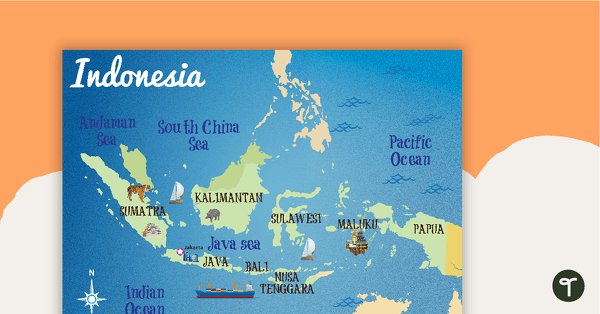
Map of Indonesia
A map showing the layout and major cities in Indonesia.