Geography Posters for Teachers
- Plus Plan
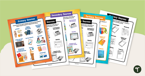
Primary, Secondary & Tertiary Sources Poster Pack
Introduce your students to examples of primary, secondary, and tertiary sources of information with a printable set of anchor charts.
- Plus Plan
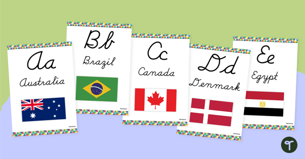
Flags of the World - Classroom Alphabet Line
Display the alphabet in print or cursive with a unique Flags of the World Alphabet Line.
- Plus Plan
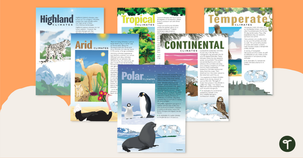
Climate Zones of the World – Poster Pack
Learn about different climate types with this set of 6 printable posters.
- Plus Plan
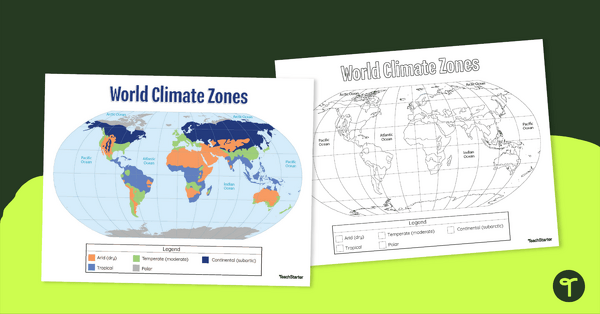
Climate Zone Map — Printable Classroom Resource
Print a climate zone map for the classroom to support lessons about the 6 climate types.
- Plus Plan
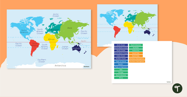
Map of the World - Labeling Activity
Discover and label the world's continents and oceans with this blank map of the world.
- Plus Plan
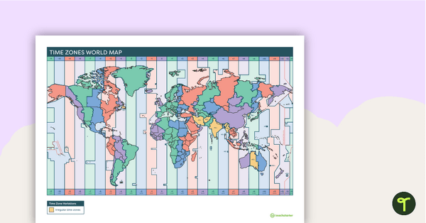
Printable Time Zone World Map
A poster to display in the classroom when locating the different time zones of the world.
- Plus Plan
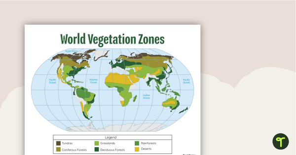
World Biomes Map
Locate and explore the different biomes of the world with this engaging classroom poster.
- Plus Plan
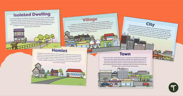
Types of Settlements Posters
5 beautifully illustrated posters explaining the various types of settlements.
- Plus Plan
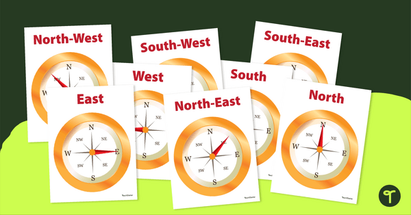
Cardinal and Intermediate Direction Posters - Compass Rose
Display these cardinal and intermediate directions posters when exploring the compass rose with your students.
- Plus Plan
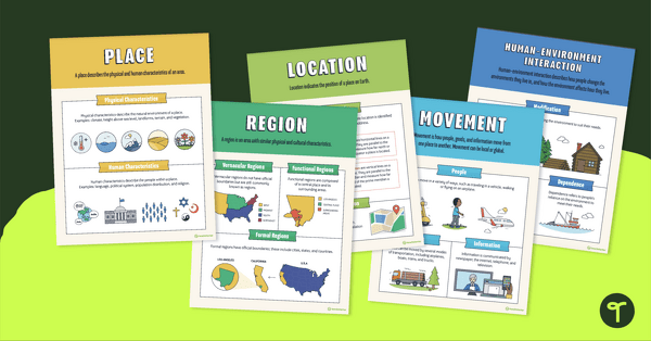
5 Themes of Geography Poster Pack
Help your students visualize the 5 themes of geography with this poster set
- Plus Plan
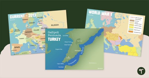
Printable World War 1 Map of Europe
Printable map of Europe and World War 1 to use in the classroom when learning about WW1.
- Plus Plan
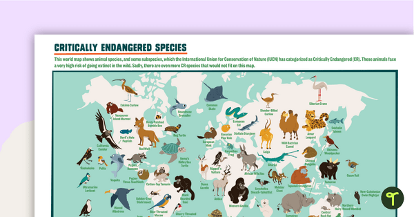
Critically Endangered Species Map
Use this endangered species world map when exploring animals that have been placed on the Critically Endangered list.
- Plus Plan
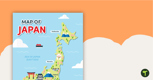
Map of Japan
A map of Japan featuring the names of the main islands and well-known landmarks.
- Plus Plan
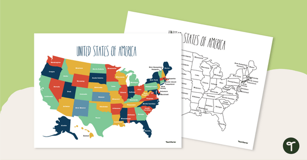
Labeled Map of the United States
Teach your students about the geography of the United States of America with this detailed map.
- Plus Plan
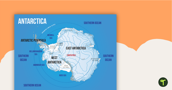
Map of Antarctica
A map showing the layout and major features of Antarctica.
- Plus Plan

Desert Page Border
A page border with a desert theme.
- Plus Plan
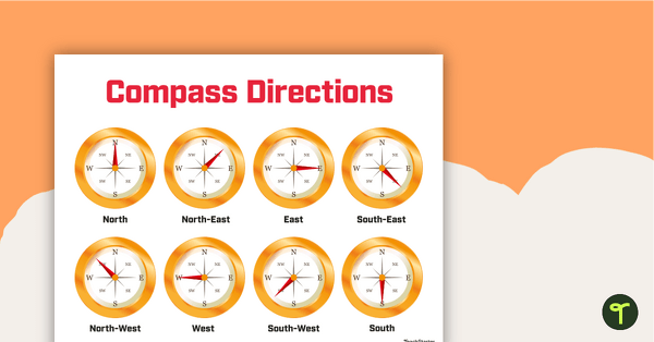
Cardinal and Intermediate Directions Poster
Display this cardinal and intermediate directions poster when exploring the compass rose with your students.
- Plus Plan
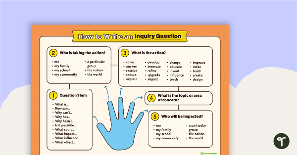
How to Write an Inquiry Question Poster
A poster demonstrating the steps involved in formulating a question for inquiry-based learning.
- Plus Plan
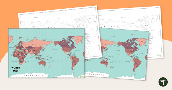
World Map - Continents, Oceans, and Countries
Teach your students about the continents, oceans, and countries of the world with this highly detailed map.
- Plus Plan
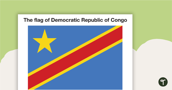
African Flags - Color
Eight colored flags from Africa.
- Plus Plan
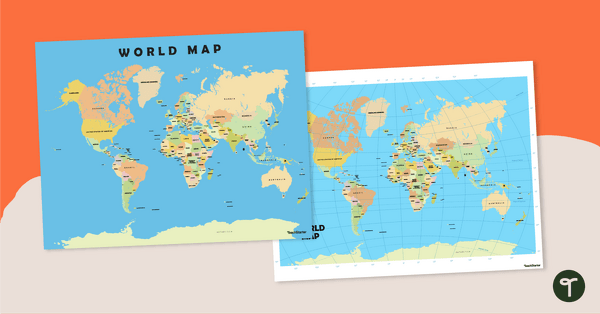
World Map Poster
Teach your students about the continents and countries of the world with this detailed map.
- Plus Plan
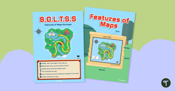
Features of Maps Posters - B.O.L.T.S.S
Explore the features of maps using this set of colorful classroom posters.
- Plus Plan
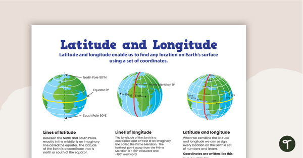
Latitude and Longitude Poster
Use this educational poster when students are learning about geographical coordinates, latitude and longitude.
- Plus Plan
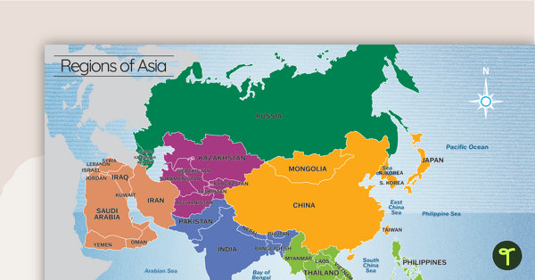
Map of the Regions of Asia
A map showing the layout, regions and major countries of Asia.